
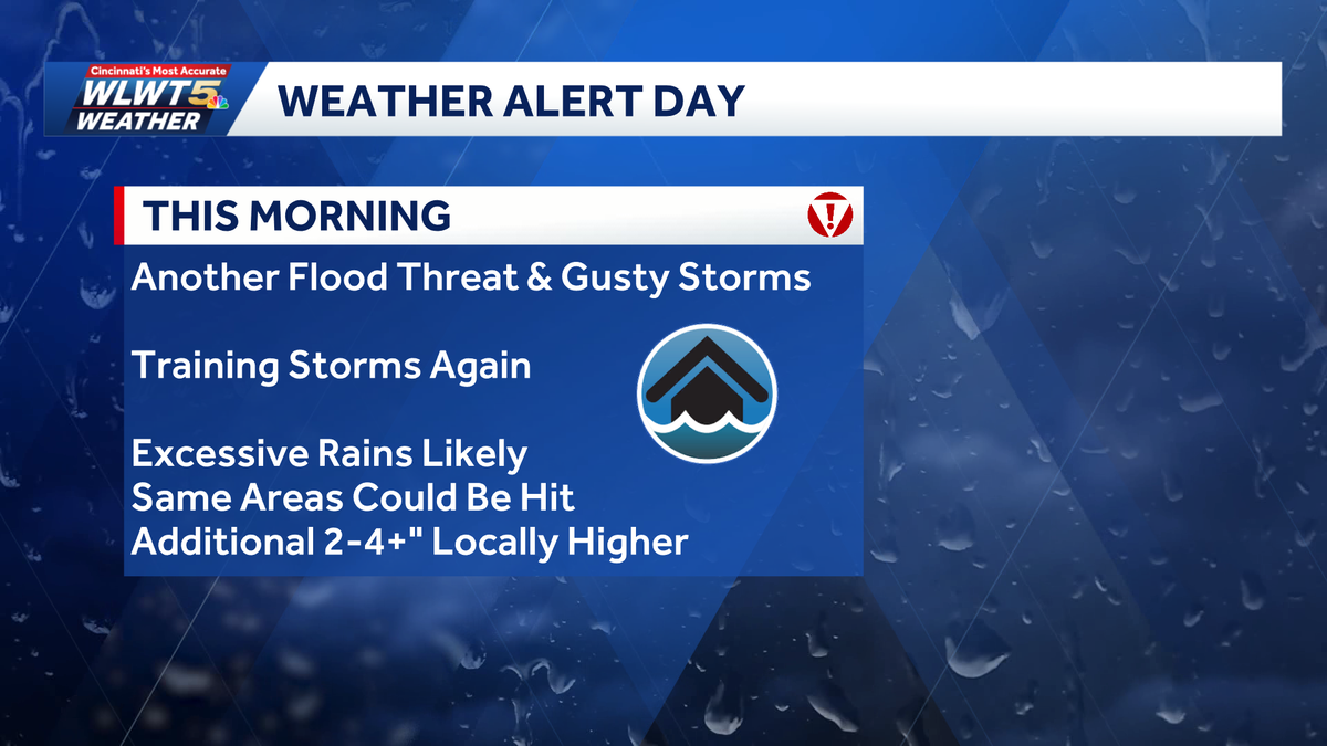
Alert Day: Intense downpours, flooding concerns possible for morning rush
 CINCINNATI —
It’s another WLWT Alert Day because of the potential for intense downpours through the morning that could bring some strong wind gusts and possibly trigger additional flash flooding.
LIVE RADAR // LATEST WEATHER ALERTS // TRAFFIC MAP
Timing-wise, the best bet for repeated rounds of rain will be during the morning commute and then slowly tapering leading up to lunchtime. 2″-4″ of rain is possible and, on already soaked ground, we could see additional areas of high water.
Gusty winds are also possible: If they do bring down any more trees or powerlines, we could see an additional uptick in power outages.
>>Go to the WLWT weather page | Subscribe to WLWT’s YouTube channel
Things should be quieting down for the afternoon, but there could be some scattered showers or an evening storm. For the weekend, it will be humid and drier, but not totally dry.
» Follow WLWT: Facebook | Twitter | Instagram
There could be some scattered rain around midday Saturday and then again late Sunday night into Monday.
Relief arrives for Tuesday/Wednesday next week.