
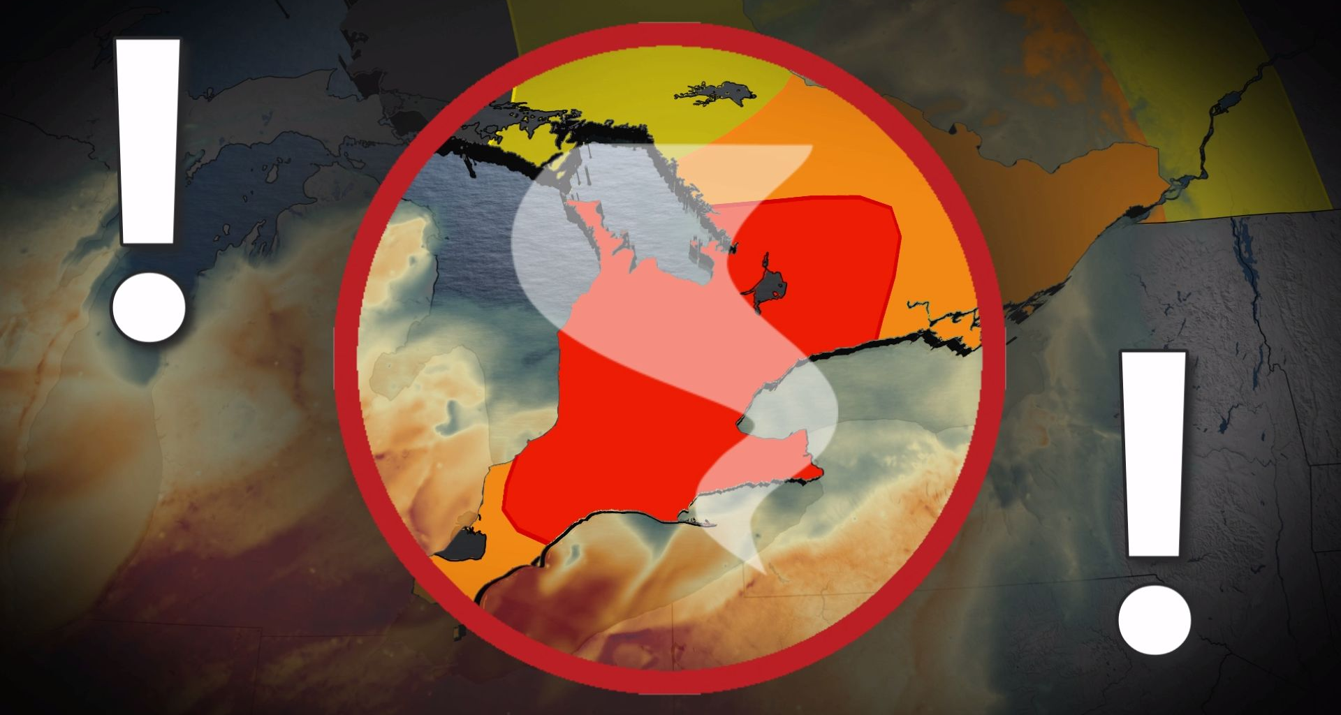
Warm weather continues across southern Ontario as meteorological summer ends, with widespread temperatures reaching above-seasonal norms.
Daytime highs range from 28-30°C in areas like Hamilton and Windsor, with mid-to-upper 20s expected in the Greater Toronto Area (GTA).
DON’T MISS: Summer lingers as warmth wins out across Canada in September
However, high humidity is pushing feels-like values into the 40s from London to Windsor, enhancing discomfort and fuelling a daily thunderstorm threat.
Wednesday brings the highest storm risk, with high atmospheric moisture sustaining muggy conditions. Storms may produce torrential rain, strong to damaging winds, and large hail. An isolated tornado cannot be ruled out.
Be sure to stay alert to the changing conditions, and check for any weather warnings in your area.
Wednesday: Risk for strong storms and isolated supercells
Southern Ontario faces a heightened risk of severe thunderstorms Wednesday, with threats of damaging winds and an isolated tornado.
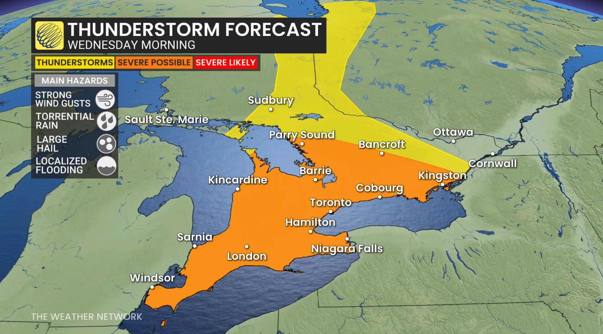
Heavy rain is possible early in the morning across the region, including the northern GTA and Highway 401 corridor, potentially disrupting the morning commute. There could also be severe thunderstorms, which may bring torrential downpours and hail up to quarter-sized.
A favourable environment for severe weather will be in place, driven by high atmospheric moisture, stronger, upper-level winds, and significant wind shear (changes in wind speed and direction with height).

A sharp cold front moving in from Michigan will act as a strong trigger for storm development.
Risks include torrential rain, strong to damaging winds, large hail (bigger than golf balls), and the potential for a tornado. Clusters of storms or bowing segments are expected, with isolated supercells also possible.
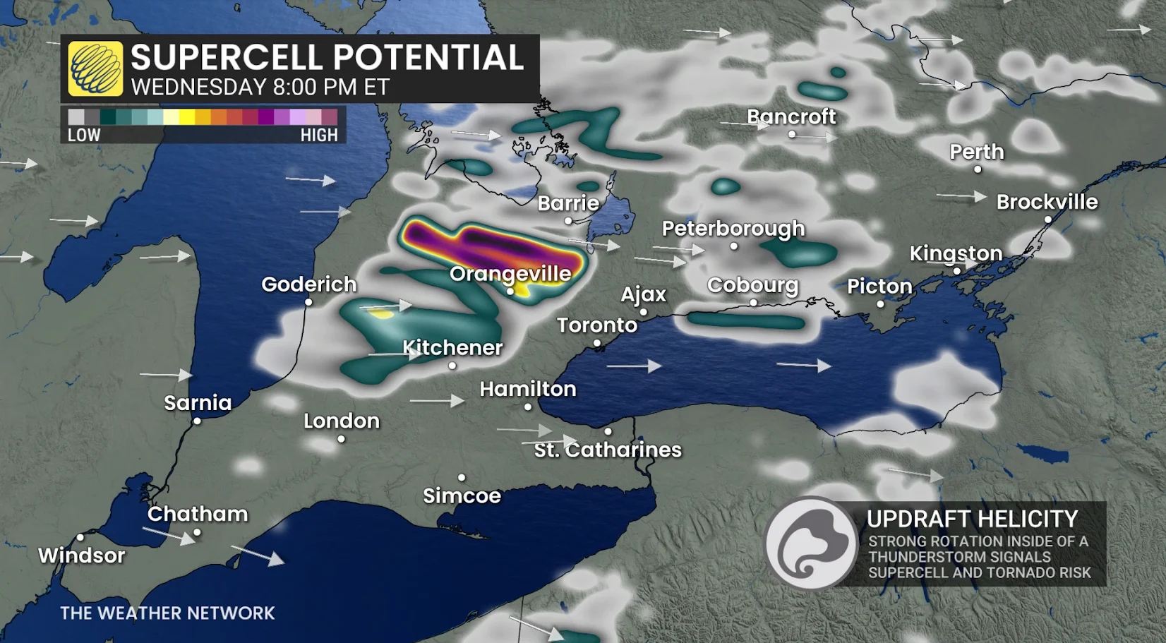
Storm activity may begin with prefrontal rain over areas from the GTA to London early Wednesday, while thunderstorms begin developing across cottage country and Quebec by the early afternoon.
The cold front will bring severe storms southward, sweeping from Barrie through the GTA and eastward by late afternoon and evening. Additional trailing storms could impact regions near London around the dinner hour.
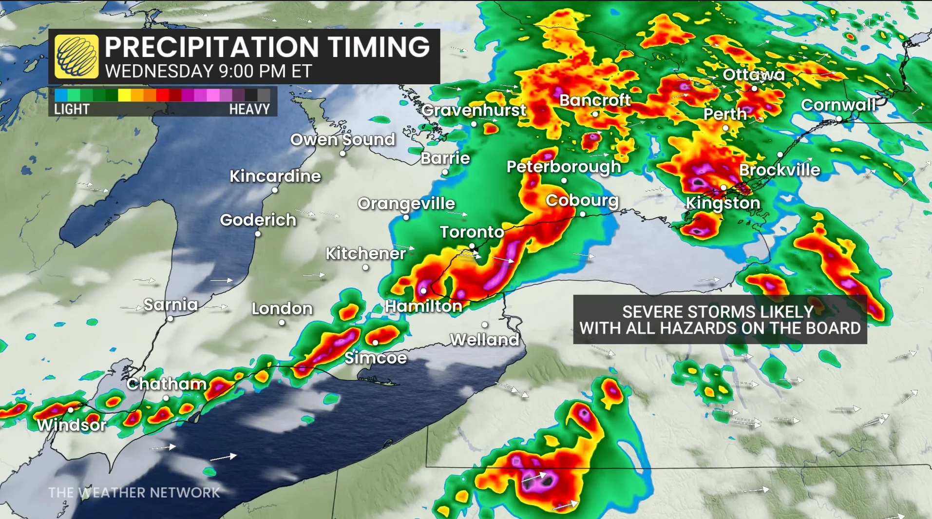
Timing remains uncertain, but conditions should stabilize overnight into early Thursday, ending the storm threat.
Stay tuned to The Weather Network for the latest forecast updates for Ontario.
WATCH: Severe thunderstorms with a non-zero tornado risk for Wednesday