
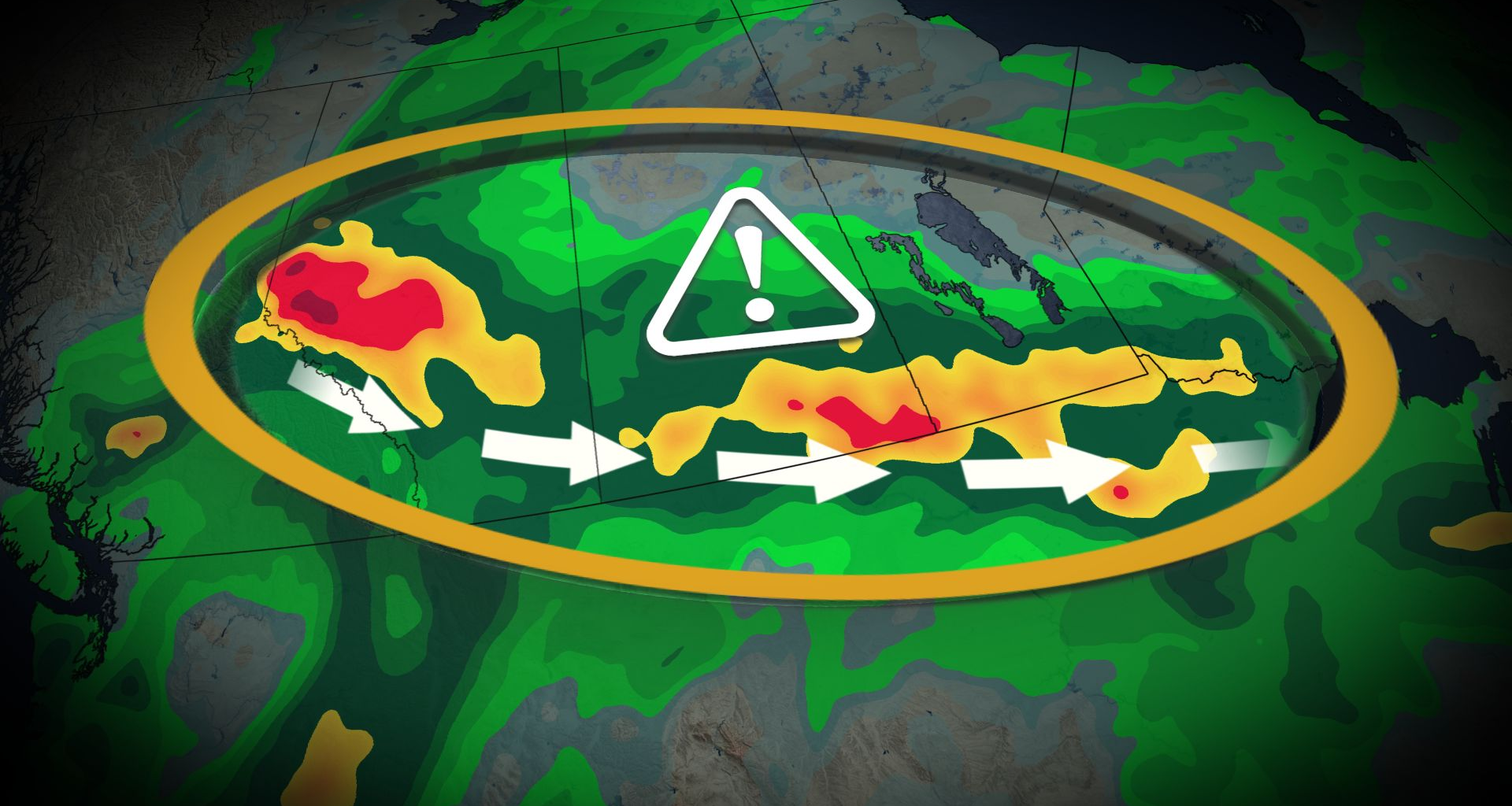
Expect widespread rain across the Prairies through your holiday weekend as a stagnant, moisture-rich pattern swings across the region.
Rainfall totals of 50+ mm will affect a large swath of the region by Monday, with areas that see thunderstorm activity possibly reaching 100 mm of accumulation.
DON’T MISS: Canada’s Labour Day weekend holds heavy rain and sunny skies
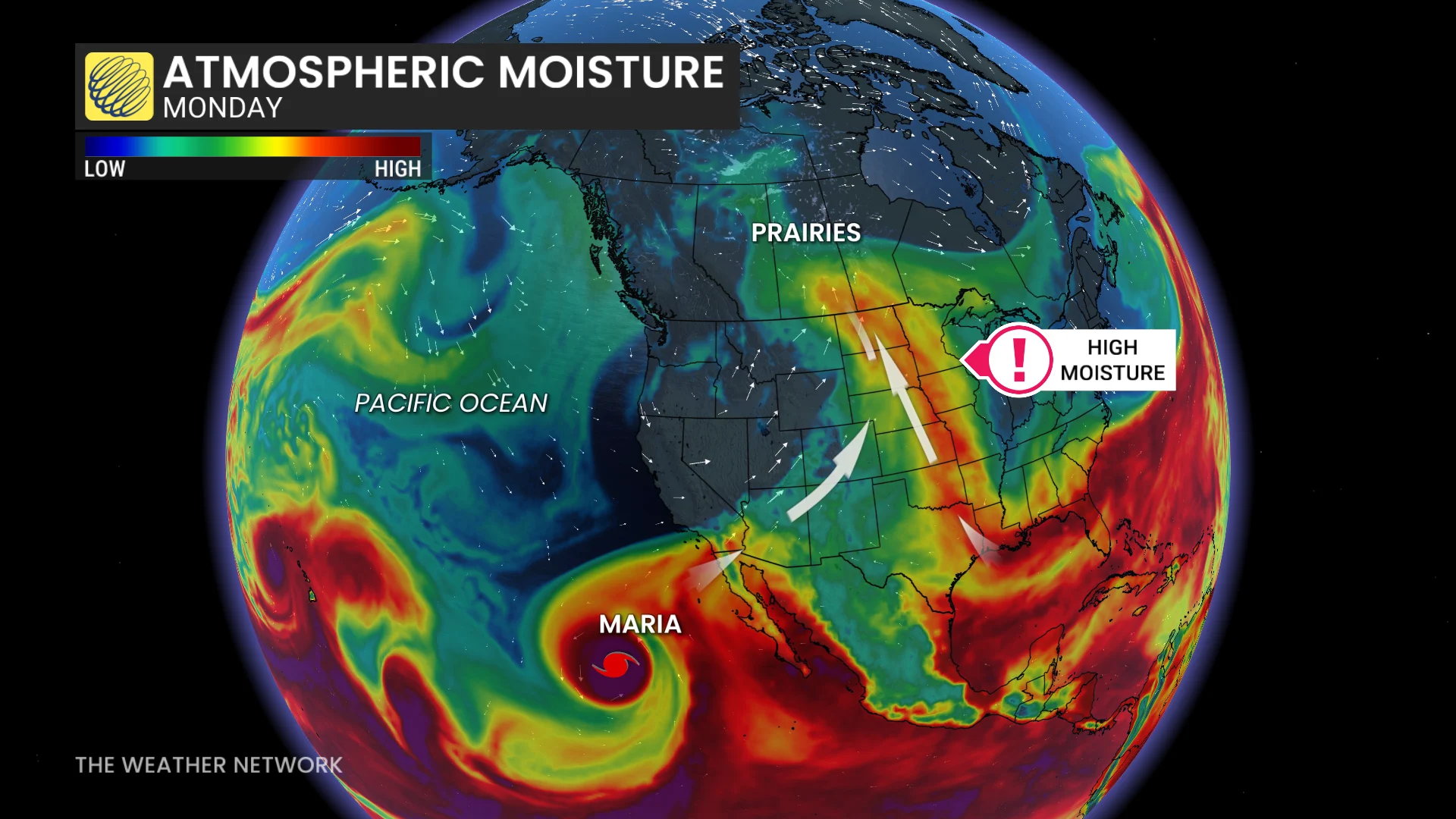
Several systems moving across the Prairies will tap into a rich reserve of moisture aloft streaming in from both the Gulf of Mexico and the Pacific Ocean, the latter of which arrives courtesy of Hurricane Marie.
Rain and thunderstorms are expected in southeastern Saskatchewan and southern Manitoba through Sunday as a slow-moving low tracks along the international border.
Meanwhile, another strong low-pressure system will develop along the foothills and lift north across the Prairies throughout the weekend.
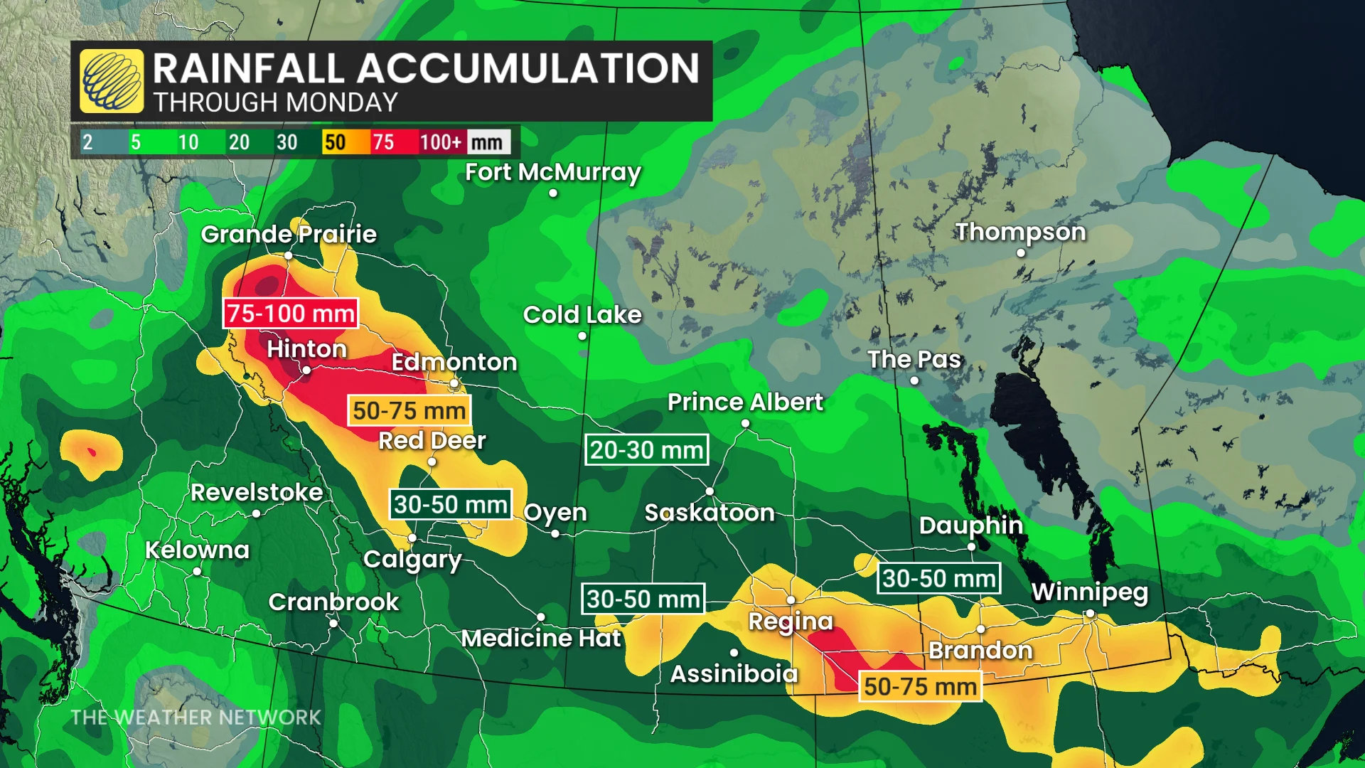
Significant rainfall is likely, spreading from Alberta across the southern Prairies. We could see totals of 30-50 mm in Calgary and Edmonton, with a swath of 50+ mm expected through southern portions of Saskatchewan and Manitoba.
Some communities could see as much as 100 mm of rain as beneath embedded thunderstorms, though there’s still some uncertainty where the heaviest rains will fall.
This kind of rain is beneficial for areas that ran dry in July, but it will also have a major impact on fall harvest efforts. Additionally, areas downstream from the heavy rain in Alberta should be on the lookout for rising water levels.
Stay with The Weather Network for all the latest on conditions across the Prairies.
WATCH: Soggy or sunny? Where do you land this long weekend in Canada