
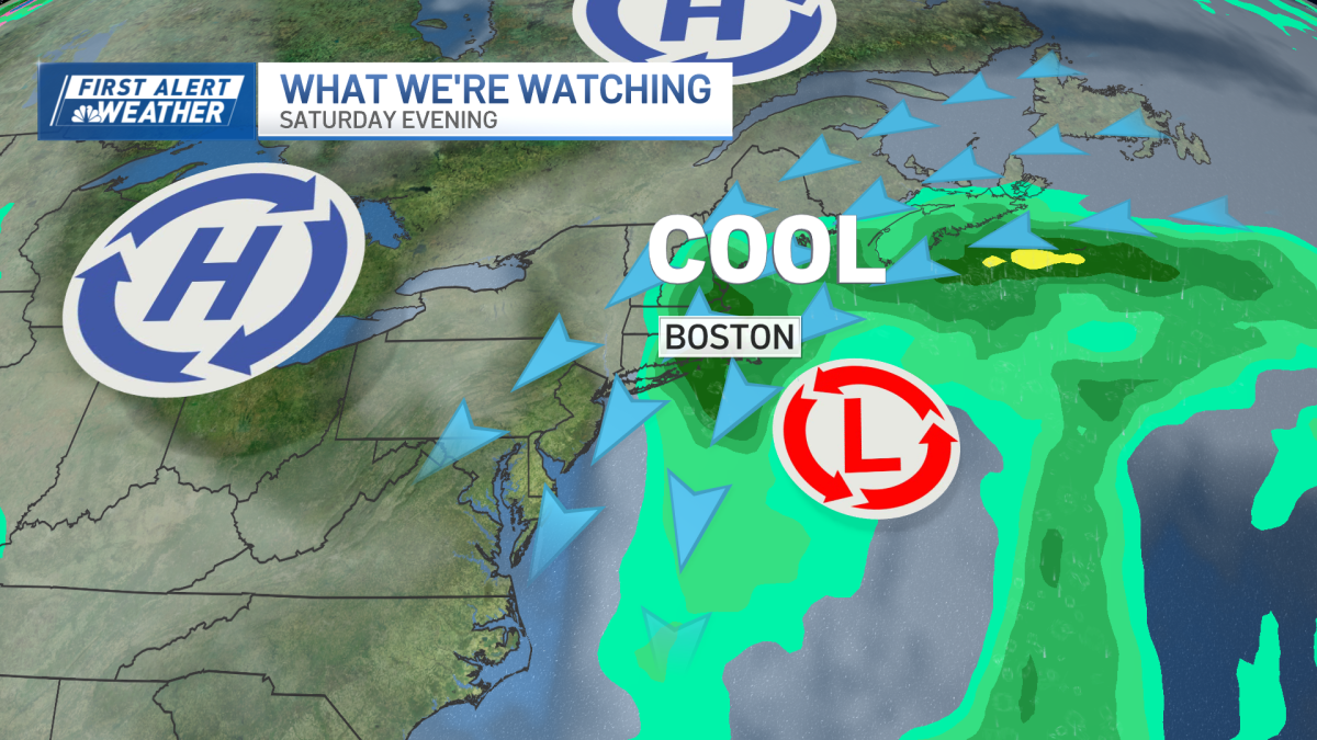
Our weekend nor’easter hasn’t formed just yet, but we continue to see a gusty wind and a persistent onshore flow at the coast. This is due to a strong high pressure system in Canada. Once our low develops off the Mid-Atlantic Thursday into Friday, the pressure gradient between the high pressure and low pressure is like a wind tunnel. Then our weather gradually deteriorates Friday into Saturday as the nor’easter heads toward New England. The worst of the storm seems to set up Saturday night into Sunday morning, gradually ramping down Monday as our storm slowly moves away.
[CLICK HERE FOR A CLOSER LOOK AT THE TIMING, STORM TRACK AND IMPACTS.]
Rain
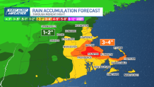
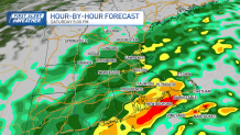
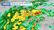
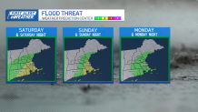
Heavy and consistent rain heads in gradually. The first rain bands will move in from the southeast Friday afternoon, and should run into dry air so won’t reach inland spots. Rain fills in with the banding Saturday morning, through the day, and into Sunday. Waves of wind-driven rain adds to our totals fast, then slowly diminishes to scattered showers by Monday. Around 3-5 inches of rain will fall Friday-Monday night in southeastern Massachusetts to Boston, with around 1-2 inches Saturday into Monday for western Massachusetts and Vermont. We have a chance for some flooding or flash flooding with the heavy rain this weekend, especially as storm drains will clog from leaf drop.
Wind
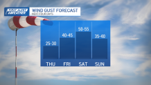
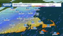
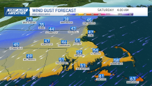
Our northeast wind continues at 10-20 mph, with gusts up to 40 mph Thursday. By Friday and into Saturday we see gusts of 50-60 mph at the coast and up to 40 mph inland. The northeast wind remains into Sunday and we still can see 50 mph wind gusts. The wind slowly changes to the north by Monday.
[HIGH WIND WATCH ISSUED FOR PARTS OF MASSACHUSETTS, RHODE ISLAND.]
Coastal impact
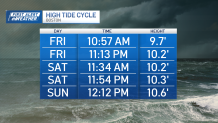
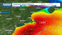
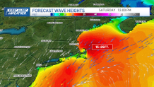
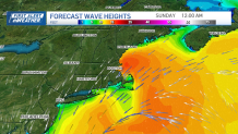
The shoreline of southern New England has had a constant onshore flow and waves have been 8-13 feet offshore Thursday. As the low tracks up the northeast coast this weekend our waves reach 15-25 feet for Friday night into Saturday. Our tides are astronomically high due to the full moon Saturday, so we’re expecting a few high tide cycles with minor coastal flooding. Lots of splashover, and severe beach erosion continues through Monday.
[COASTAL FLOOD WATCH ISSUED FOR PARTS OF MASSACHUSETTS.]
After the storm
The showers and wind linger into Monday. With the waves slow to decrease, the coast is just getting battered around. The weather improves next week and as we jump into October. Highs are on the rise, with 70s expected to start the month!