
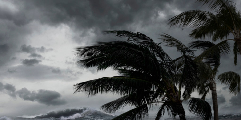
The Atlantic hurricane season is showing signs of life as October gets underway, with tropical trouble brewing closer to home in the Gulf of America. All eyes are on a new area to watch near the Bay of Campeche.
THE TAKEAWAY
All eyes are on a new area to watch that was designated in the Gulf of America over the weekend.The system currently has a medium chance of development over the next seven days.Even if the system does not fully develop, the deep tropical moisture associated with it could increase the risk for several days of heavy rainfall.
The Atlantic hurricane season is showing signs of life as October gets underway, with tropical trouble brewing closer to home in the Gulf of America.
According to the FOX Forecast Center, a new area to watch was designated Saturday night near the Bay of Campeche, where a broad area of low pressure could develop.
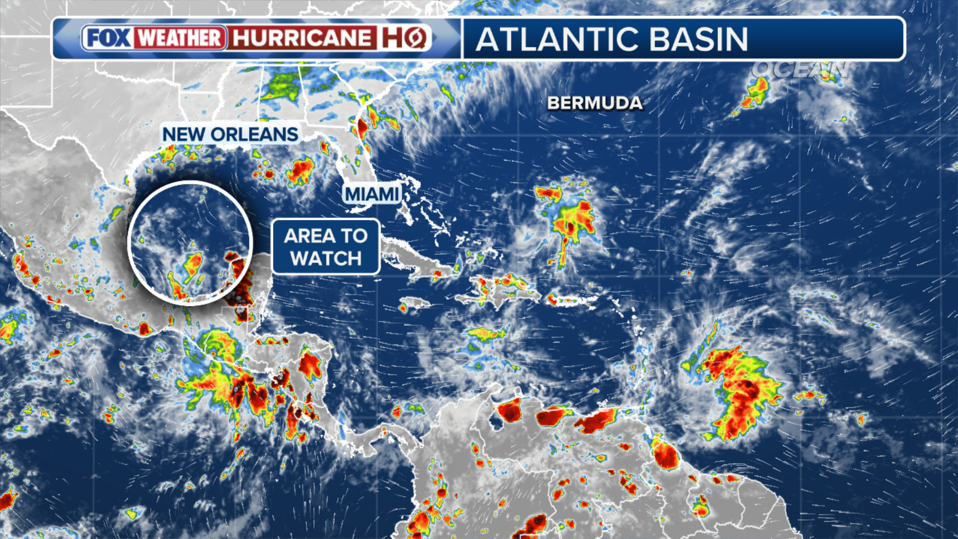 The overview of the activity in the Atlantic.
(FOX Weather)
The system has a medium chance of development over the next seven days, but it is too early to say where or when a tropical system could form because a defined area of low pressure has yet to develop.
Any potential system is also expected to move slowly as it drifts across the southwestern Gulf, the FOX Forecast Center said.
CALIFORNIA DECLARES STATE OF EMERGENCY AS POTENTIALLY HISTORIC SUPER EL NIÑO LOOMS
Currently, a cold front is forecast to push into Central Florida and stretch across the Gulf before gradually fizzling out.
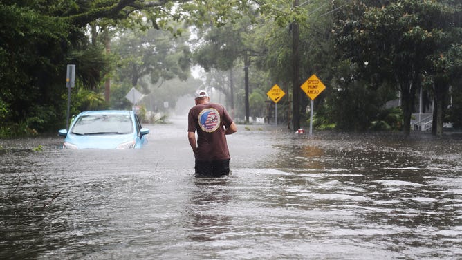
Man walks through the flooded streets of St. Augustine, FL after Hurricane Matthew passed through the area on October 7, 2016.
(Joe Raedle / Getty Images)
The remnants of that front, combined with an upper-level disturbance, could help trigger a low-pressure system in the southwestern Gulf. This will begin to form around Wednesday and Thursday.
As the week goes on, the system may begin to develop. However, it is expected that there will be no major organization, and it is not guaranteed that the system will move north.
The system could also struggle to develop or remain closer to the coast of Mexico.
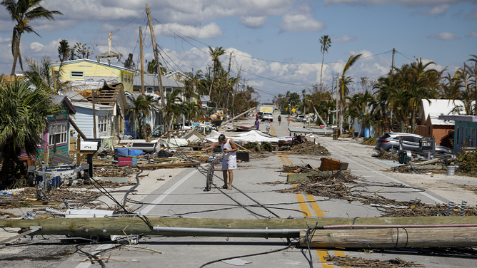
A resident walks past debris on Pine Island Road following Hurricane Ian in Matlacha Isles, Florida, US, on Saturday, Oct. 1, 2022.
(Eva Marie Uzcategui/Bloomberg / Getty Images)
The FOX Forecast Center notes that even if the system intensifies into a named tropical system, tropical storm conditions are expected as part of the Gulf Coast from Louisiana to Florida’s Big Bend.
Alternatively, even if the system does not fully develop, the deep tropical moisture associated with it could increase the risk for several days of heavy rainfall, reaching areas well north of the Gulf Coast.
THE LATEST FROM FOX WEATHER HURRICANE SPECIALIST BRYAN NORCROSS
That said, it is still far too early to determine specific impacts or whether the system will even develop, but whatever happens over the next few days will be critical in determining the weekend forecast.
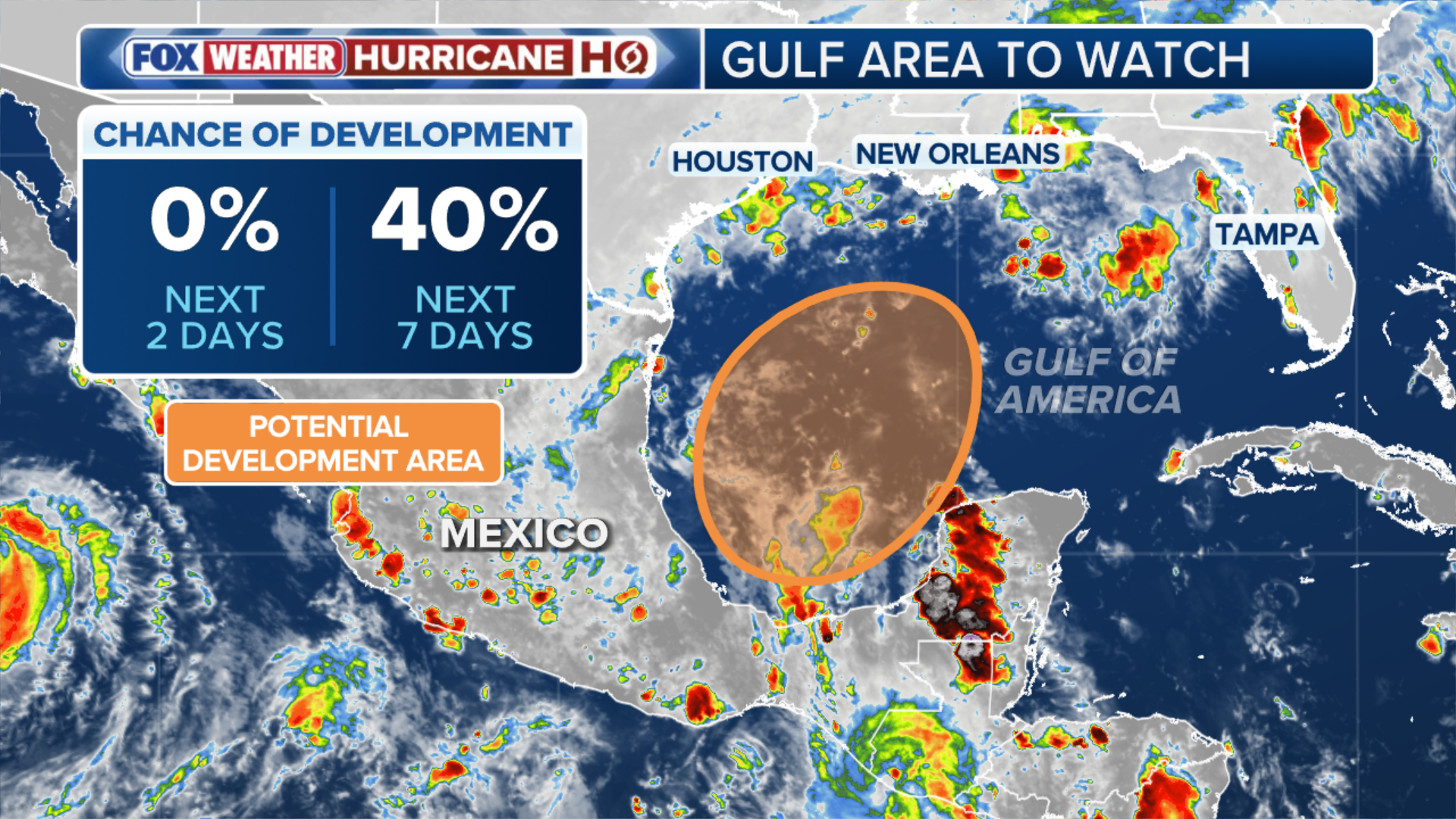 The overview of the Area to Watch.
(FOX Weather)
Currently, a strong subtropical jet stream is positioned across the Gulf and into the Atlantic. As air begins to rise, a surface low could potentially develop or consolidate.
The exact position of the jet stream will be crucial. If it remains too far south, increased wind shear could rip apart any tropical system trying to form.
Meanwhile, Gulf water temperatures are currently at their warmest levels on record dating back to 1982.
A quiet September
The Atlantic has gone 338 days since the last hurricane formed, with September ending without a hurricane for the first time in 32 years.
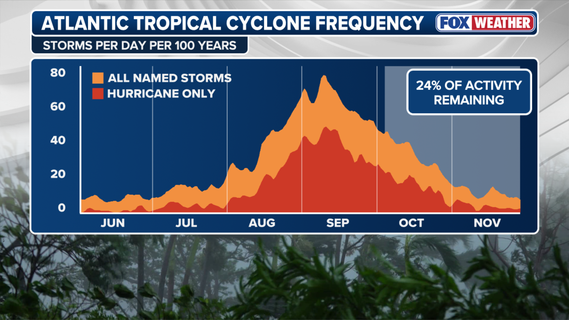 Atlantic tropical cyclone frequency.
(FOX Weather)
It marked only the eighth time since the 1950s that the Atlantic went through September without a hurricane and just the second time since the start of the satellite era in 1966.
Despite it being the climatological peak of the season, El Niño-driven winds have suppressed activity this year.
If the entire 2026 Atlantic hurricane season ends without a hurricane, it would be just the third time on record, since 1914 and 1917.
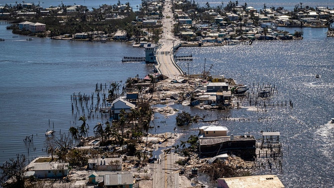
A neighborhood destroyed in the aftermath of Hurricane Ian in Fort Myers, Florida.
(RICARDO ARDUENGO/AFP / Getty Images)
However, hurricanes may have formed during those seasons, but went undetected because they remained far from land and ships at sea.
If this happens in 2026, it would mark the first hurricane-free Atlantic season of the modern satellite era.
Stay with FOX Weather for the latest.