
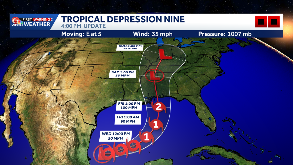
Tropical Depression Nine has formed in the Gulf and is expected to strengthen into Tropical Storm Isaias later this week.
Tropical Depression Nine has formed and could strengthen quickly over the next 72 hours.
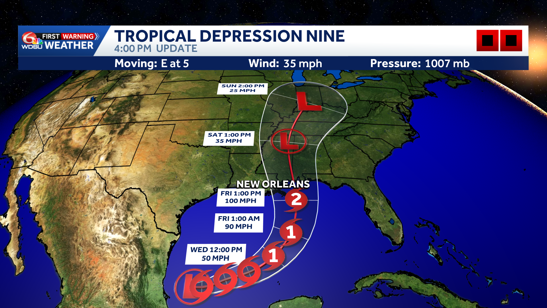
The National Hurricane Center’s first forecast calls for significant intensification, with the system potentially reaching Category 2 strength and winds near 100 mph around landfall Friday evening.
Hearst Owned
Tropical Depression Nine Track
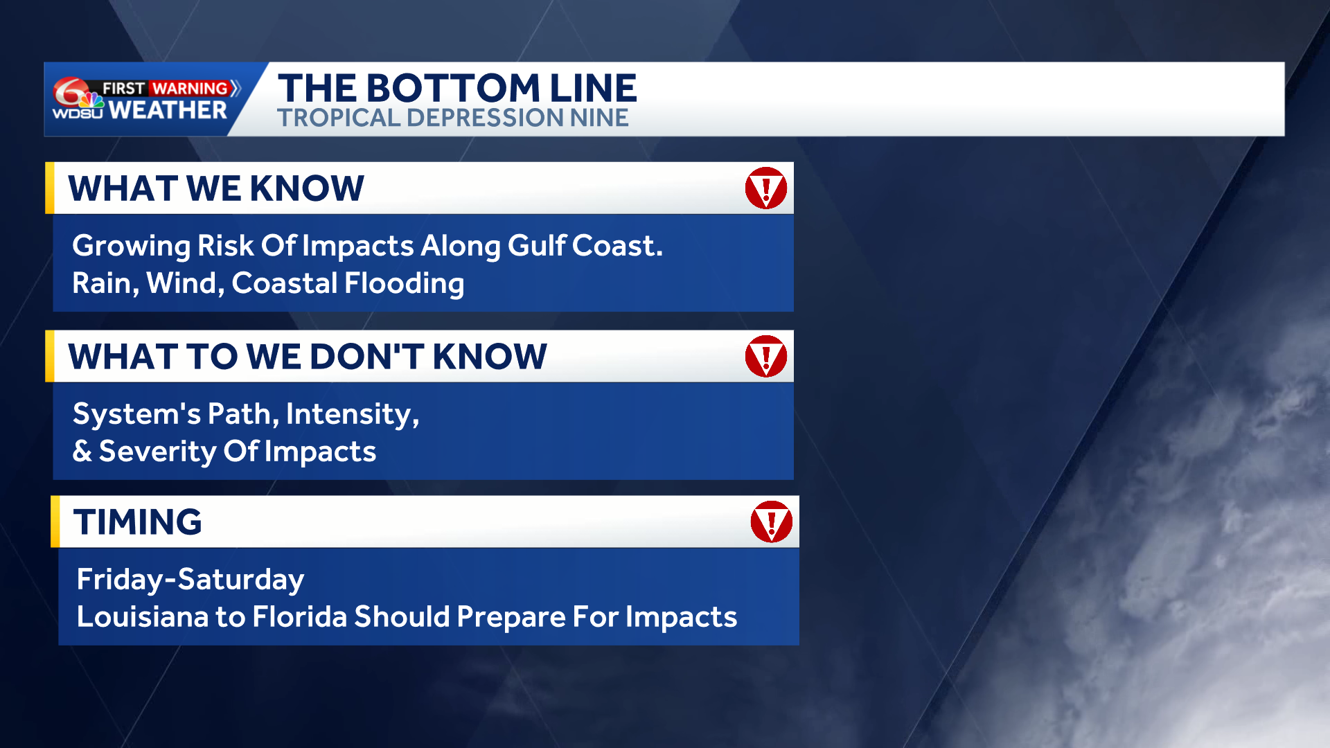
Everyone from Louisiana to Florida should monitor this system closely. Heavy rain, strong winds and storm surge are all possible.
Hearst Owned
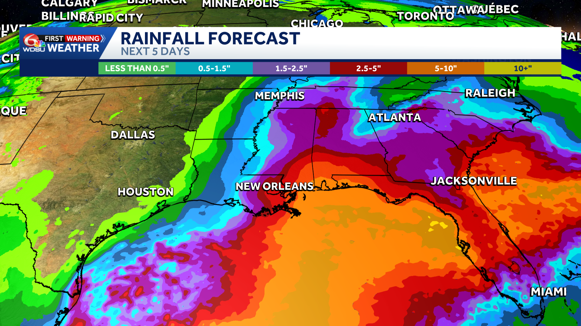
Rainfall Forecast
A widespread 4–6 inches of rain could fall along its path, with isolated totals exceeding 10 inches.
Hearst Owned
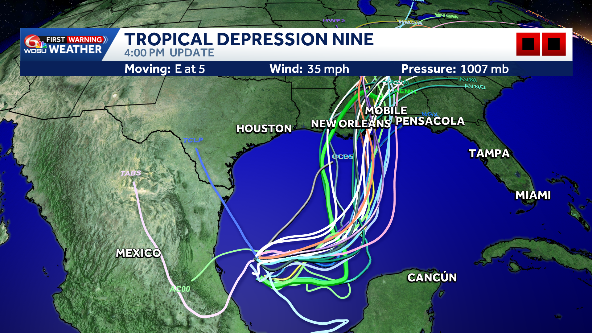
Tropical Depression Nine Models
There is still considerable uncertainty surrounding the track and timing. A shift of just 100 miles could make a major difference in which communities experience the greatest impacts. Hurricane Hunters are expected to investigate the system tomorrow, providing valuable data that should help refine the forecast.
Hearst Owned
Alert Days Friday-Saturday
Impacts could begin Friday and continue into Saturday. Friday and Saturday are WDSU First Warning Alert Days due to the potential for significant weather impacts.
Now is the time to review your hurricane plan, begin simple preparations and closely follow official updates from the National Hurricane Center and WDSU First Warning Weather.