
CHARLOTTE, N.C. (WBTV) – Remnants of Hurricane Isaias brought heavy rain, strong wind gusts and dangerous flooding to the Carolinas over the weekend.
Officials reported dozens of water rescues, road closures and emergency responses across the region — specifically in western North Carolina. Photos below.
Western North Carolina saw some of the heaviest rainfall totals. The National Weather Service reported 4.5 to 7.5 inches in parts of Ashe and Watauga counties and 3 to 6 inches in Burke County.
Localized rainfall totals along the Blue Ridge reached 8 to 10 inches, the weather service said.
The rain saturated the ground and sent creeks and rivers rising, flooding roads and low-water crossings near across the region. Runoff from the heavy rain continued to pose a flood risk on Sunday afternoon even after the heaviest rain moved out.
Officials reported dozens of water rescues and emergency responses, particularly in western North Carolina.
WBTV meteorologists tracked the storm’s impacts as rising water flooded roadways and waterways, prompting emergency crews from across the state to respond
Click here to see all active weather alerts and warnings for the Charlotte region.
In Burke County, emergency responders cleared a water rescue on the Catawba River behind Freedom High School along the Greenway. Officials said people had been reported in floodwater while holding onto part of a dock.
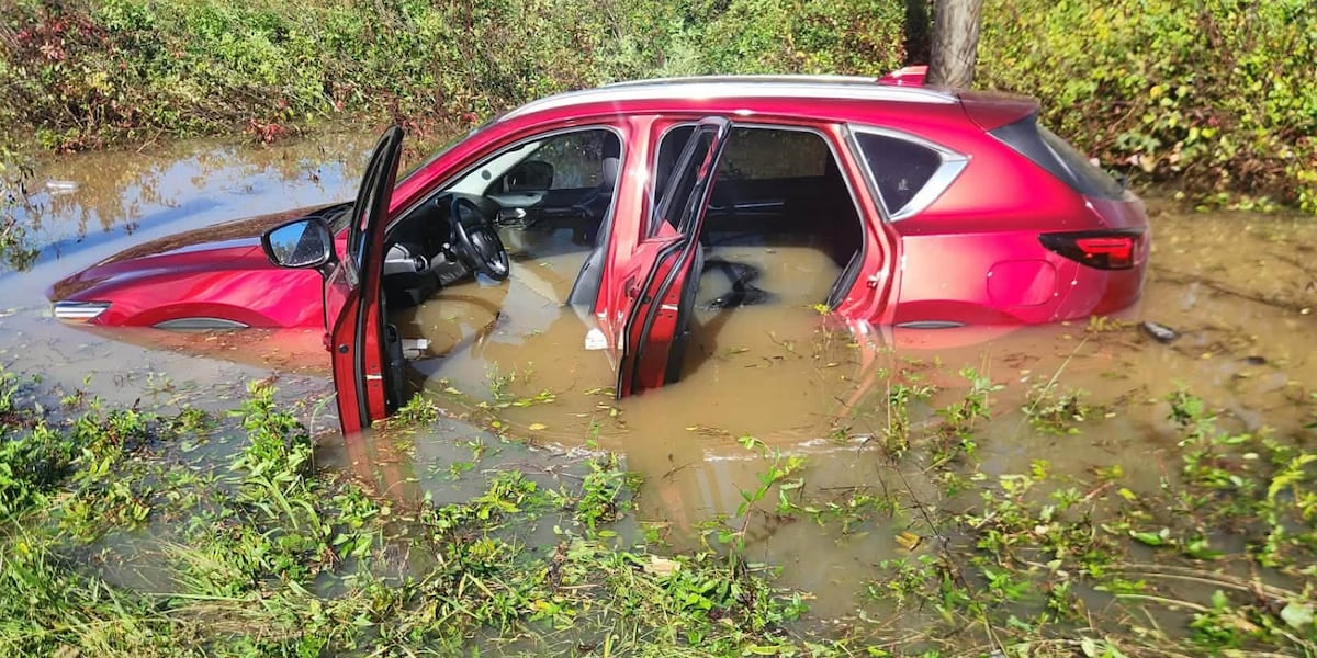
In a separate incident on N.C. 126, bystanders pulled a driver from a submerged vehicle before emergency crews arrived, officials said.
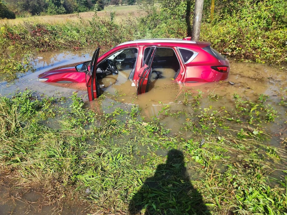 Burke Rescue responded to a water rescue near the 800 block of NC 126(Burke EMS)
Flooding also forced road closures. In Chesterfield County, N.C. 18 and U.S. 64 were closed after a river overflowed onto a bridge, preventing traffic from passing.
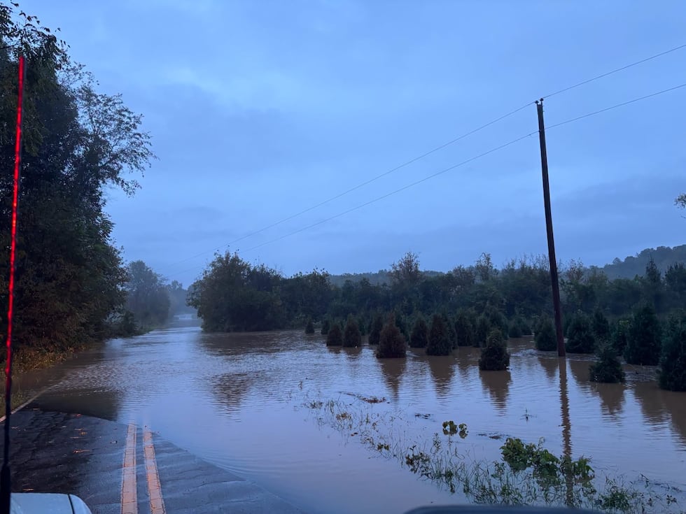 Emergency rescue operations across Burke, Linville, Lenoir and several counties.
 Emergency rescue operations across Burke, Linville, Lenoir and several counties.(Burke County)
In Lenoir, sections of Pennell and Powell roads became impassable as water levels rose, officials said. Flooding was also reported near Bost and Spainhour roads in Burke County.
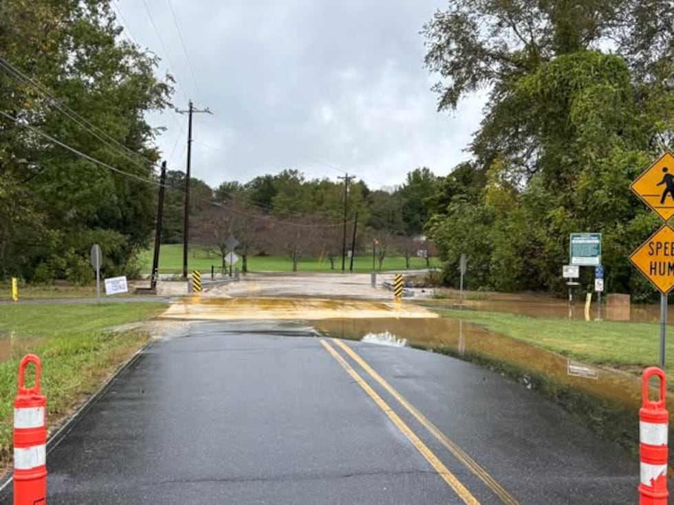 Remnants of Isaias caused flooding in Lenoir on several roadways including Pennell Street near Greenway Presbyterian Church and Powell Road near the intersection of Pennell Street(Lenoir EMS)
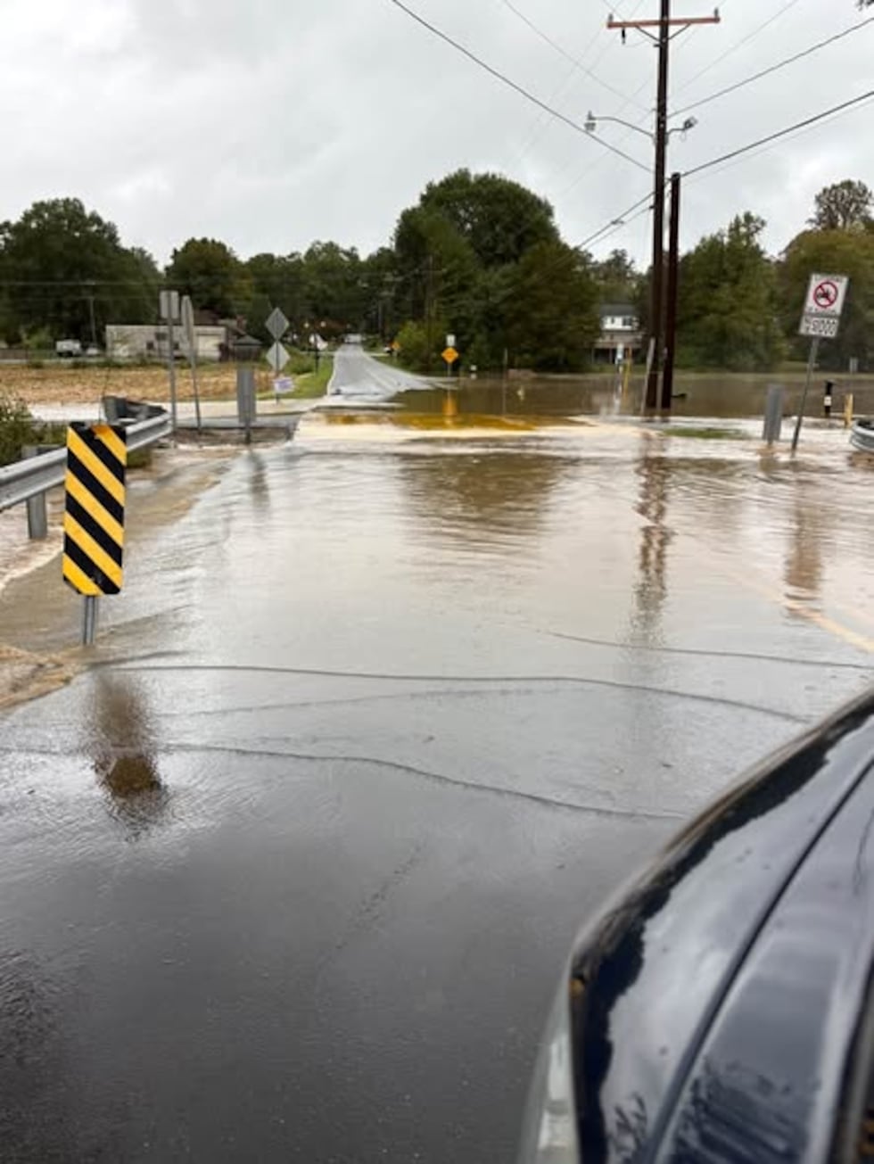 Remnants of Isaias caused flooding in Lenoir on several roadways including Pennell Street near Greenway Presbyterian Church and Powell Road near the intersection of Pennell Street(Lenoir EMS)
In Linville, emergency crews responded to two calls involving hikers in distress amid high water late Saturday, Oct. 10.
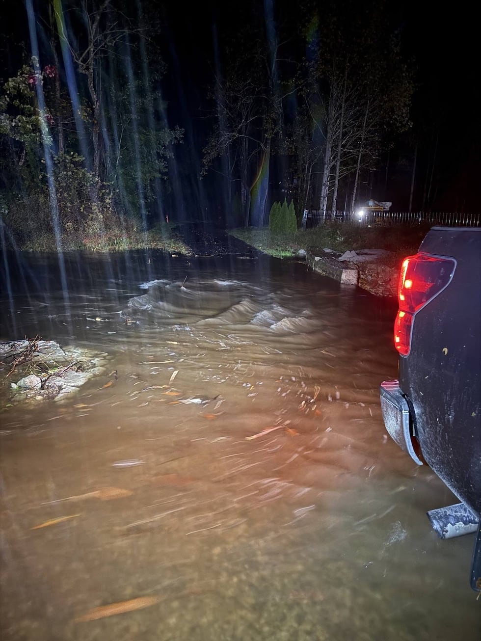 Emergency rescue operations across Burke, Linville, Lenoir and several counties.(Emergency services)
A hiker on Profile Trail slipped into the water and grabbed onto a tree before rescuing themselves. Responders met the hiker near the trailhead and helped them return to their vehicle..
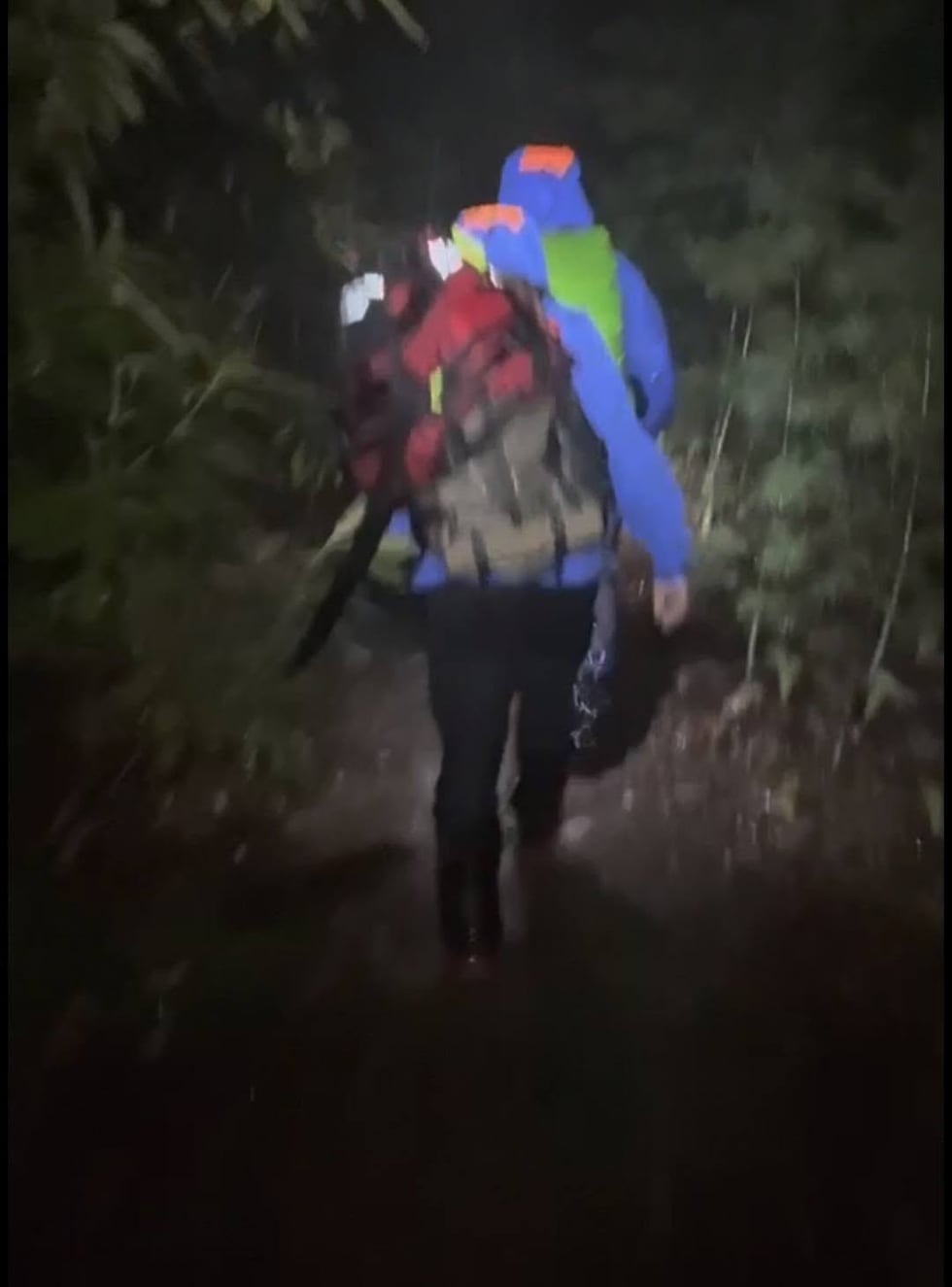 Emergency rescue operations across Burke, Linville, Lenoir and several counties.(Linville Rescue Squad)
A second call came in shortly before 10 p.m. for two hikers and a dog who had lost the trail in the Harper’s Creek wilderness area because of high water levels.
Click here to see the latest First Alert Weather forecast for the Charlotte region.
Floodwaters blocked rescuers’ usual access to the area, forcing crews to take a longer route. A rescue team hiked in, located the hikers and dog, helped them warm up and hike back out.
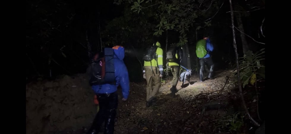 Emergency rescue operations across Burke, Linville, Lenoir and several counties.(Emergency responders)
In another response, the North Carolina Swift Water Rescue Team worked with Burke County Emergency Services to secure a footbridge over a swollen creek, helping a 99-year-old resident move to safety from flash flooding.
Broad River rises above flood stage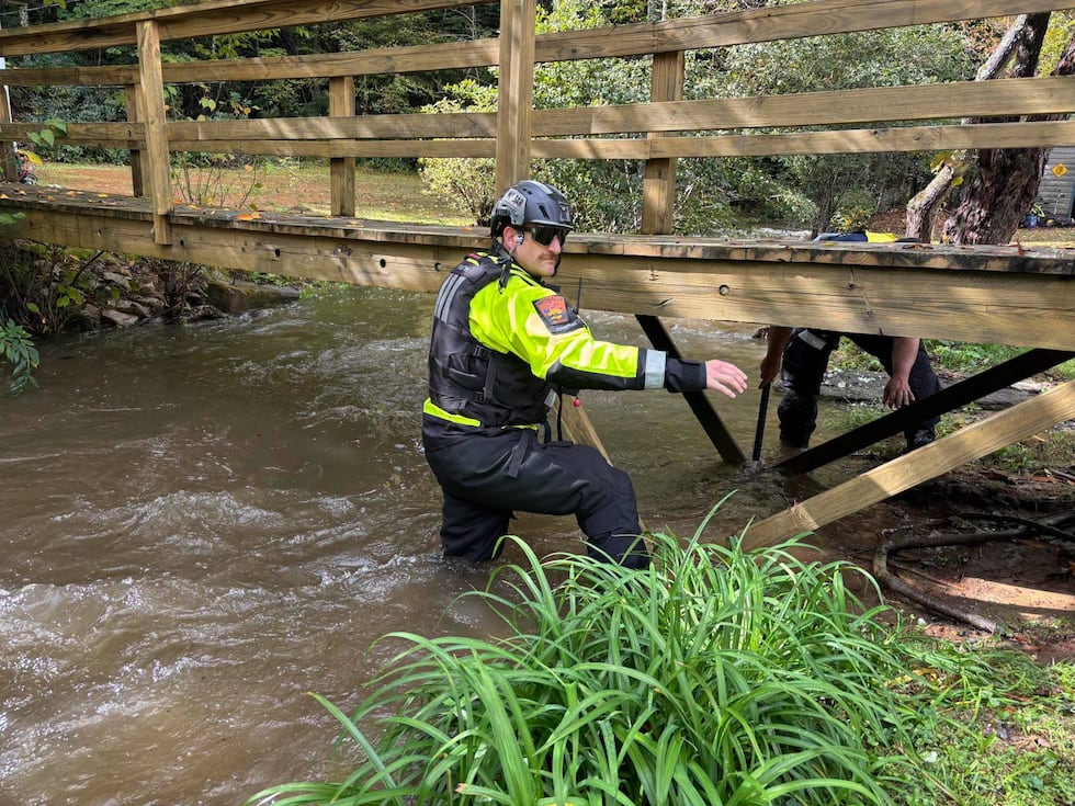 Emergency rescue operations across Burke, Linville, Lenoir and several counties.(Burke County)
The National Weather Service issued several flood warnings for parts of the Broad River in Cleveland and Cherokee counties.
Above Sandy Run Creek, the river was forecast to crest at 13.5 feet Sunday evening, above its 12-foot flood stage. Near Shelby Highway, it was forecast to crest at 16.7 feet, also above flood stage.
Flooding could affect homes, farmland, low-lying roads and other areas near the river.
Officials urged residents to avoid flooded areas, including parks, creek banks and low-water crossings, and to keep access routes clear for emergency responders.
 Emergency rescue operations across Burke, Linville, Lenoir and several counties.
Anyone threatened by rising water should move to higher ground and monitor official weather alerts. Residents were also reminded to report power outages directly to their electric providers.
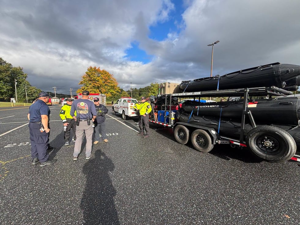 Emergency rescue operations across Burke, Linville, Lenoir and several counties.(Burke County)Avoid downed power lines
If severe weather knocks down power lines, it is vital to avoid them at all costs.
Here are some safety tips regarding downed power lines, from Duke Energy:
Stay away from power lines that have fallen or are sagging.Consider all power lines — as well as trees, limbs and anything else in contact with power lines — energized and dangerous.Report all power line hazards to Duke Energy at 800-228-8485, or contact your local emergency services department or agency.Keep children and family pets away from areas where lines may have fallen (backyards, fields, schoolyards, etc.).If a power line falls across a car that you’re in, stay in the car. If you MUST get out of the car due to a fire or other immediate life-threatening situation, do your best to jump clear of the car and land on both feet. Be sure that no part of your body is touching the car when your feet touch the ground.
—> Related: Neighbor reacts after woman was killed from downed power line in southeast Charlotte
Copyright 2026 WBTV. All rights reserved.