
ORLANDO, Fla. —
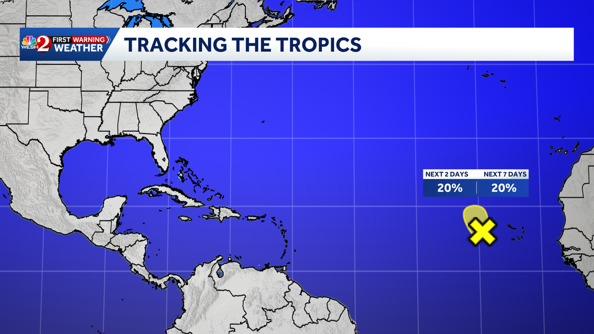
The National Hurricane Center is monitoring an area of low pressure in the eastern tropical Atlantic.
The system is centered a few hundred miles west of the Cabo Verde Islands and is producing a large area of disorganized showers and thunderstorms extending southwestward into the eastern tropical Atlantic.
Environmental conditions are expected to remain marginally favorable for development over the next day or two.
However, stronger upper-level winds could prevent further development after that period.
Regardless of whether the system develops, heavy rainfall is expected across portions of the Cabo Verde Islands over the next couple of days as the disturbance moves slowly north to north-northwest.
Formation chances through 48 hours: low 20%Formation chances through seven days: low 20%
Right now, the system poses no threat to Florida.
This comes just days after Hurricane Isaias slammed the Gulf Coast, impacting areas across the Southeast, including Florida.
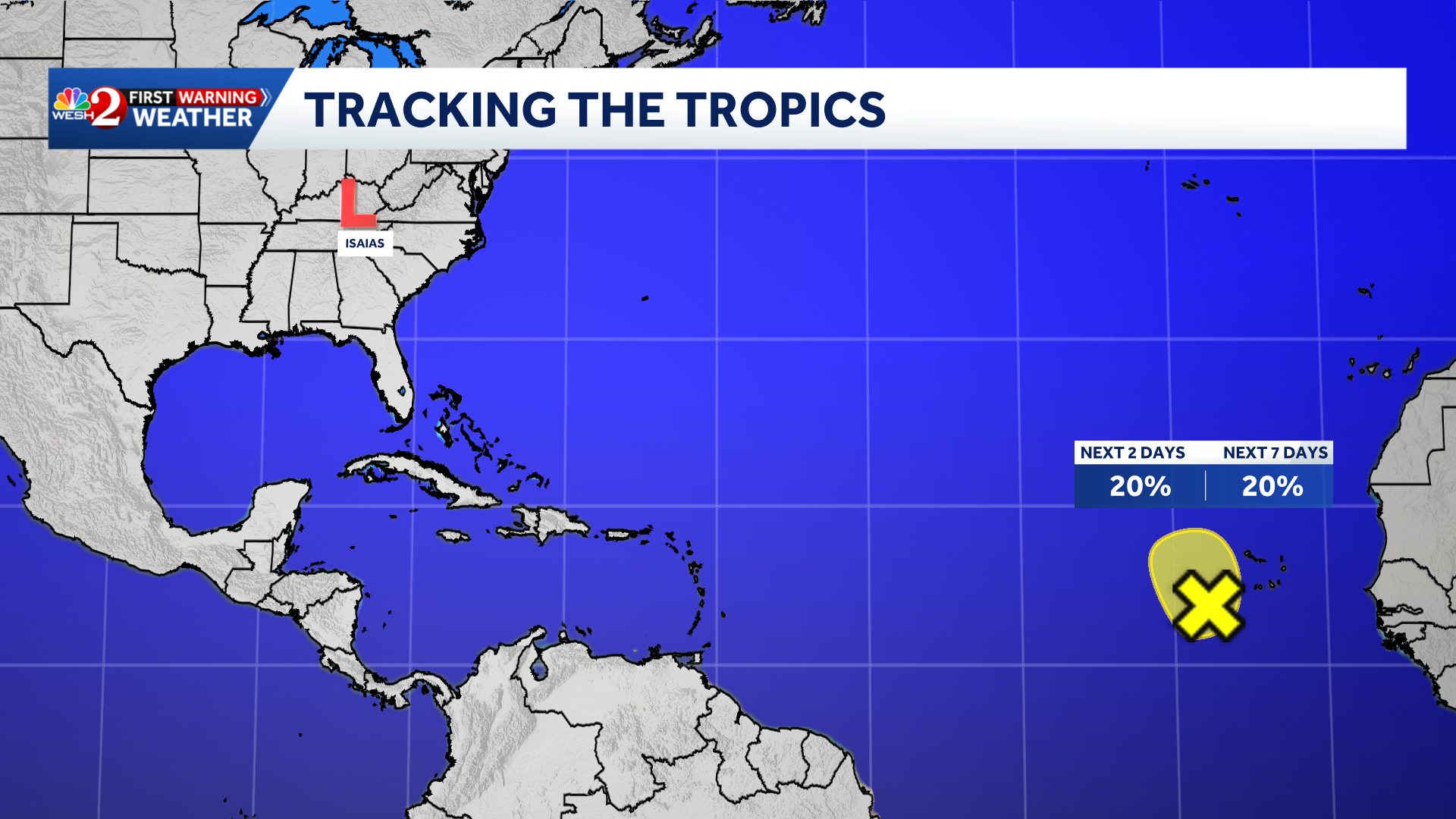
Isaias made landfall near Destin, Fla., as a Category 2 hurricane at 9:30 p.m. on Friday. It weakened overnight to a post-tropical cyclone as it moved inland, but it continued to bring heavy rain to the Florida Panhandle.
Isaias becomes the first hurricane of the 2026 Atlantic season.
RESOURCES | HURRICANE SUPPLIES | SURVIVAL GUIDE | HURRICANE SEASON SPECIAL | WESH LONG-RANGE FORECAST | WHAT TO KNOW ABOUT INSURANCE | GENERATOR SETUP | TESTING CHAINSAWS | POST-STORM RESOURCES | DOWNLOAD WESH 2 APP
Tracking the Tropics
Stay with WESH 2 online and on-air for the most accurate Central Florida weather forecast.
Download the WESH 2 News app to get the most up-to-date weather alerts.
The First Warning Weather team includes First Warning Chief Meteorologist Tony Mainolfi, Eric Burris, Cam Tran, Victoria Wisniewski and Luke Vickery.
>> 2026 hurricane season | WESH long-range forecast
>> Download Very Local | Stream Central Florida news and weather from WESH 2