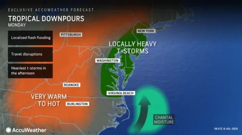
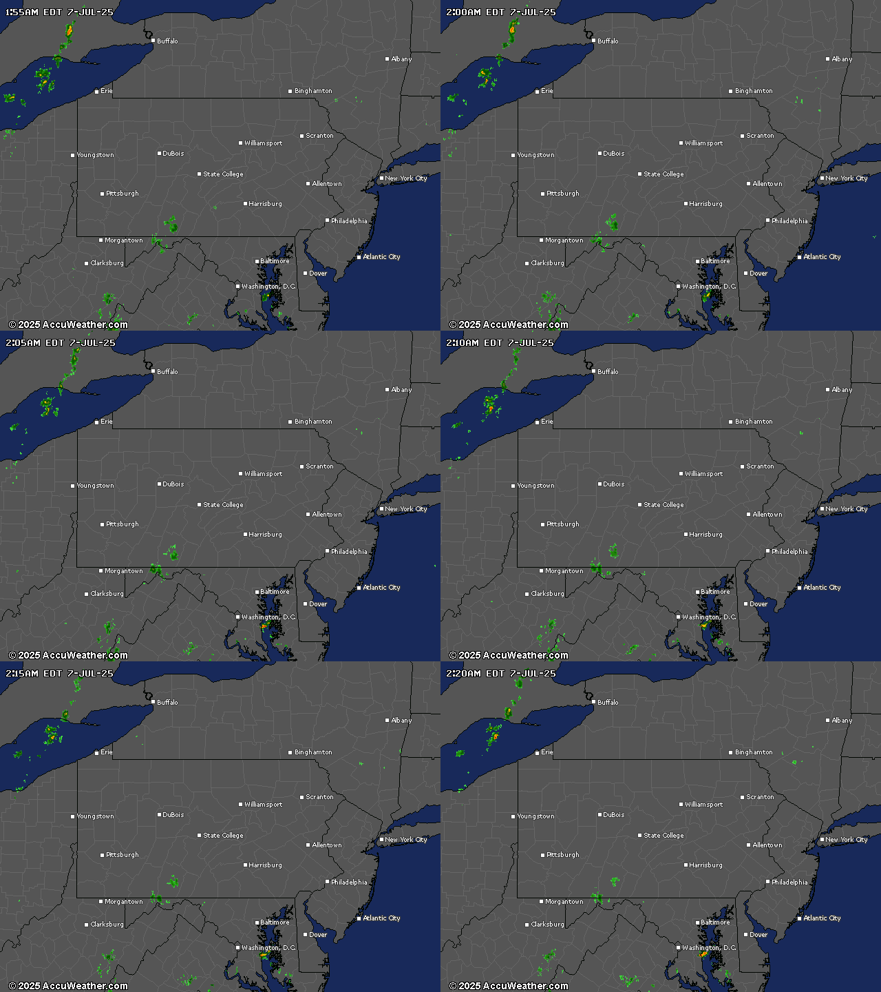
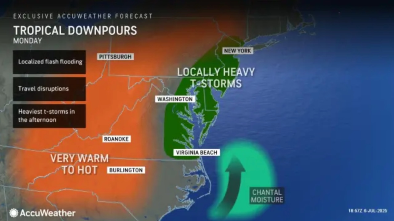
New Jersey residents should prepare for a wet and humid Monday, with remnants of Tropical Storm Chantal bringing potential for scattered thunderstorms and localized flooding, particularly in southern parts of the state.
The National Weather Service forecasts increasing humidity and thunderstorm activity throughout Monday, with the highest chances of rainfall occurring in the afternoon.
Chantal has been downgraded to a tropical depression as of 5 p.m. Sunday as the storm moved north at 10 mph.
 The remnants of Tropical Storm Chantal, which has been downgraded to a tropical depression, could bring heavy downpours and thunderstorms to parts of New Jersey on Monday.AccuWeather.com
Southern New Jersey counties are most likely to experience heavy downpours, with potential rainfall totals between 1 to 2 inches.
Some areas could see isolated storms producing localized flash flooding, though widespread flooding is not expected.
Temperatures will remain warm and muggy, with highs in the mid-80s and heat index values approaching 90 degrees.
Southerly winds will increase to 10 to 15 mph, contributing to the humid conditions.
The stormy weather pattern continues through the week, with scattered thunderstorms possible Tuesday through Saturday.
A stalled cold front will keep moisture in the region, generating daily chances for afternoon and evening thunderstorms.
Temperatures are expected to remain in the low to mid-80s, consistent with seasonal averages.
Uncertainty remains in the extended forecast, with models suggesting continued unsettled conditions potentially lasting through the weekend.
Residents should stay informed about changing weather conditions and be prepared for intermittent rainfall.
Marine conditions will feature moderate rip current risks at New Jersey beaches, with southerly winds and wave heights around 2 to 3 feet.

Generative AI was used to produce an initial draft of this story, which was reviewed and edited by NJ Advance Media staff.
If you purchase a product or register for an account through a link on our site, we may receive compensation. By using this site, you consent to our User Agreement and agree that your clicks, interactions, and personal information may be collected, recorded, and/or stored by us and social media and other third-party partners in accordance with our Privacy Policy.

