
Met Éireann has forecast “significant rainfall accumulations from heavy showers and longer spells of rain” for counties Clare, Donegal, Galway, Leitrim, Sligo and Mayo.
The warning came into effect at 6pm on Wednesday evening and will remain in effect until 6pm this evening.
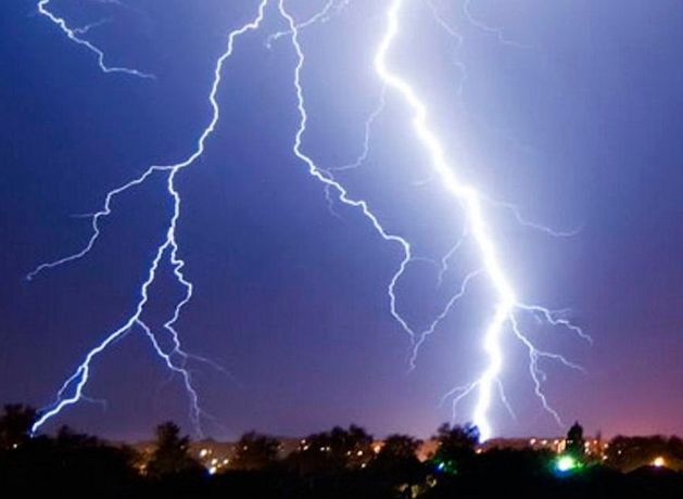
Isolated thunderstorms are possible, with rainfall contributing to potential localised flooding, poor visibility and difficult travel conditions.
Rain, which will sometimes turn heavy, will spread across the rest of the country from the west this morning with prolonged spells in the north, west and southwest with spot flooding and isolated thunderstorms possible.
Highs of 15 to 20 degrees are expected, dropping to lows of 10 to 14 degrees during a cloudy, rather wet night with some scattered showers.
Further scattered showers and sunny spells will continue into Friday, turning heavy at times and most frequent in the northern half of the country.
Highest temperatures of 15 to 21 degrees are expected, dropping to lows of 10 to 13 degrees during a clear, largely dry night.
Met Éireann expects the coming days to be largely unsettled and windy at times with showers and longer spells of rain.
It will be a wet, windy start to Saturday with heavy downpours most likely in the “south, west, and northwest with the possibility of spot flooding”.
Highs of 15 to 19 degrees are expected, with another day of mixed sunny spells and scattered showers through Sunday as highs of 15 to 18 degrees are expected.
“While there is uncertainty in the exact detail, early next week is looking to remain unsettled with further spells of rain and showers,” said Met Éireann.
“Monday and Tuesday will both see a mix of sunny spells and scattered showers, the most frequent and heaviest of those showers staying to west Atlantic coasts. Daytime temperatures will be similar to late ranging in the mid to high teens.”