
Coastal parts of Otago and Southland are being urged to batten down the hatches as gale-force winds, and possibly tornadoes, are expected to hit the southern regions today.
A MetService spokesman said a “very strong west-to-southwest flow” would develop over New Zealand in the morning, and might approach severe gale in exposed places around Dunedin, Clutha, Southland (south of Gore) and Stewart Island.
The winds were expected to be at their strongest from 8am until 5pm, and there was a good chance the strong wind watch would be upgraded to a warning, he said.
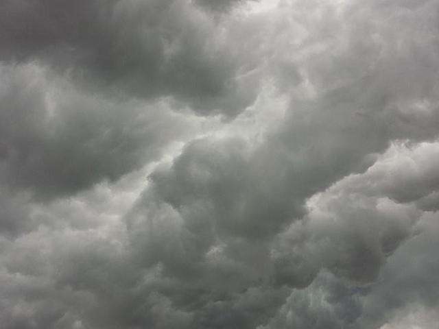
A trough might also bring thunderstorms to parts of the South during the afternoon and evening — particularly in parts of coastal Southland and Clutha during the afternoon.
“These thunderstorms will generate localised heavy rain, strong wind gusts of 90kmh-110kmh, small hail and possibly one or two small tornadoes.”
It was possible the thunderstorms could become severe, generating damaging wind gusts of more than 110kmh, he said.
“People are advised to keep up-to-date with the latest forecasts, as strong wind watches may be upgraded to orange warnings, or new areas may be added.”
The winds were expected to ease tomorrow, he said.
More snow was also forecast for higher parts of Otago and Southland.
Up to 4cm was forecast this morning about the summit on the Lindis Pass, and up to 6cm may fall on the Crown Range Rd.
Up to 15cm was expected to fall near the Homer Tunnel on the Milford Rd, so it was closed at 5pm yesterday and was expected to reopen at noon today.
A New Zealand Transport Agency Waka Kotahi spokesman said contractors would have resources ready to respond to snow on the highways, and roads might be closed where necessary for peoples’ safety.