
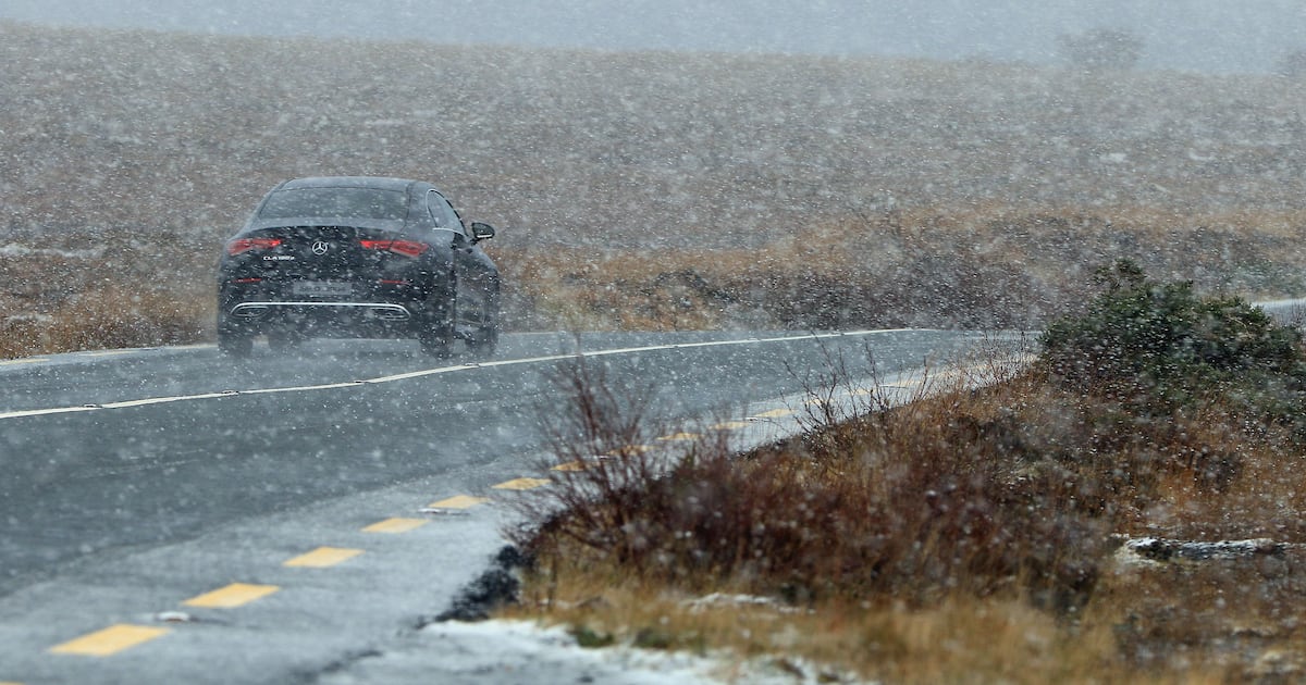
Ice, frost, hail, sleet, snow and hazardous driving conditions are expected on Thursday morning following overnight freezing conditions.
A status yellow warning for “very cold” conditions remains in place across five counties in the Republic.
Met Éireann’s warning for counties Cavan, Donegal, Monaghan, Leitrim and Sligo remains in place until noon on Thursday.
The impacted counties are forecast to experience hail, sleet and snow showers with some “modest accumulations” of snow in some areas, especially on high ground, according to the forecaster.
Met Éireann’s Rebecca Cantwell said the expected hail, sleet and possibly snow would result in “icy stretches and possibly hazardous travelling conditions”.
She said Thursday would be “another cold day with frost and icy patches slow to clear”.
“Many places will be dry with sunshine, but showers will continue in northern and western areas, with further wintry falls possible. The showers will die out though through the day. Highs of just three to seven degrees.”
Ms Cantwell said Friday “will start cold and dry, but we’ll see a return to more unsettled conditions as cloud builds and rain drizzle eventually spread across the country.”
In Northern Ireland, wintry showers will gradually ease on Thursday.
Scattered showers, mainly falling as rain or sleet, will become increasingly isolated through the day with increasing sunny spells. It will be largely dry by evening, with winds easing. Maximum temperature of 5 degrees are forecast.
The outlook for the coming days in the Republic is for temperatures to drop to as low as -4, before rain brings warmer temperatures at the weekend.
Rain and drizzle on Friday morning is expected to become more persistent towards the afternoon, as a band of rain moves in from the west. Lowest temperatures of 2 to 7 degrees are likely on Friday night.
Temperatures are expected to climb further to highs of 7 to 12 degrees on Saturday, which is set to see persistent rain spreading from the southwest from midday and into Saturday night.
Sunday looks likely to remain “generally unsettled” with widespread cloud and showery outbreaks of rain.
Clearer spells will develop throughout the afternoon, however, with showers becoming more scattered. Highest temperatures of 6 to 10 degrees are expected, alongside winds reaching strong to near gale force strength along Atlantic coasts.