

Large areas of Queensland will continue to swelter through heatwave conditions today, with the hottest parts of the state set to reach 45 degrees Celsius.
After a scorching weekend, temperatures will be above average across the state, with central, western, and North West Queensland set to be up to 8C above average November temperatures.
BOM meteorologist Angus Hines said the heat was also pushing out to the coast, where it would become humid and sticky.
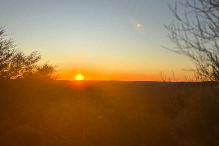
Outback Queensland will be the hottest part of the state today. (ABC Gold Coast: Julia Andre)
“We’ve got severe heatwave warnings for many districts through much of the state, and that’s likely to linger right through the first half of the week,” he said.
Longreach, Birdsville and Bedourie in the outback will be the hottest towns in the state, where it is expected to hit 45C.
The BOM has forecast that the heat will begin to ease after Wednesday.
Mr Hines said the conditions were being caused by a large pool of heat, which was also affecting South Australia, New South Wales, the Northern Territory and even parts of northern Victoria.
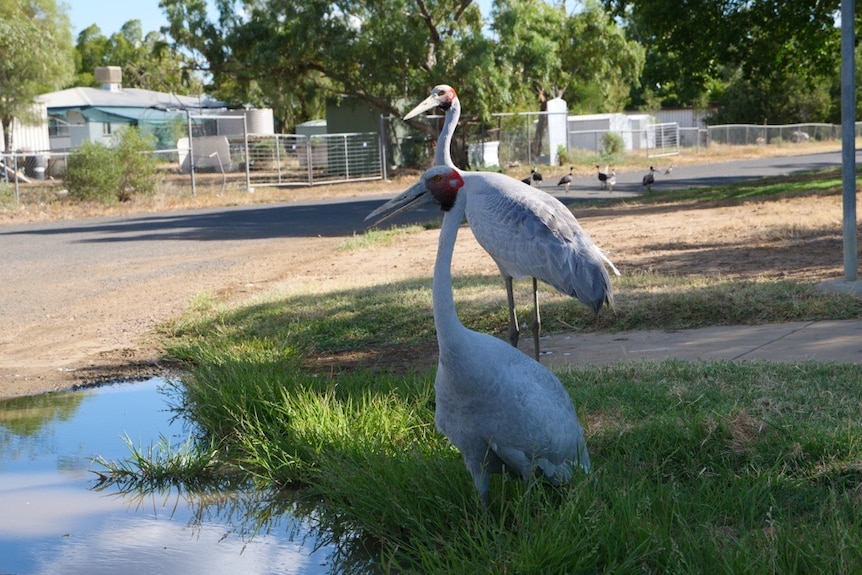
Brolgas seeking shade in Longreach, one of the hottest parts of the state today. (ABC Western Queensland: Hannah Walsh)
“It’s a heat bubble which builds in the north-west of Australia and then when that heat meets a bit of wind, it gets pushed around to other areas,” he said.
“We’ve seen a lot of hot wind in the atmosphere, and that brings that very hot air to other areas.”
In an extreme heat warning, Queensland Health urges people to stay indoors, limit physical activity and drink plenty of fluids.
Southern storms
As the north of the state swelters, the southern half of Queensland’s coast is bracing for the likelihood of more severe thunderstorms today, after parts of the south-east were hit with heavy rain and hail during storms on Sunday night.
Parts of the Scenic Rim and Logan, south of Brisbane, received large hail between seven and eight centimetres. Smaller golf-ball-sized hail also fell at Tamborine Mountain in the Gold Coast hinterland.

Hail pummelled Simone Jelley’s flower farm last night. (Supplied: Simone Jelley)
The State Emergency Service responded to more than 130 calls for assistance, the majority of which related to infrastructure damage in Logan.
Canungra flower farm owner Simone Jelley could not believe the power of the storm that swept over the Scenic Rim last night.
When she woke up this morning to check on the damage, Ms Jelley was surprised she had only lost about 50 per cent of her ready-to-bloom crop.

Simone Jelley has become used to severe weather living in the Scenic Rim. (Supplied: Simone Jelley)
“I feel pretty blessed right now to have what I’ve got,” Ms Jelley said.
“You’re always going to be at risk of these sorts of events, especially in south east Queensland. We are a storm alley, especially at this time of year.”
Today, the BOM has forecast severe thunderstorms all the way from Rockhampton down the coast to Coolangatta at the New South Wales border.
Mr Hines said elevated inland areas adjacent to the coastline, such as the Scenic Rim, Sunshine Coast hinterland and Toowoomba, were also at risk of severe storms.
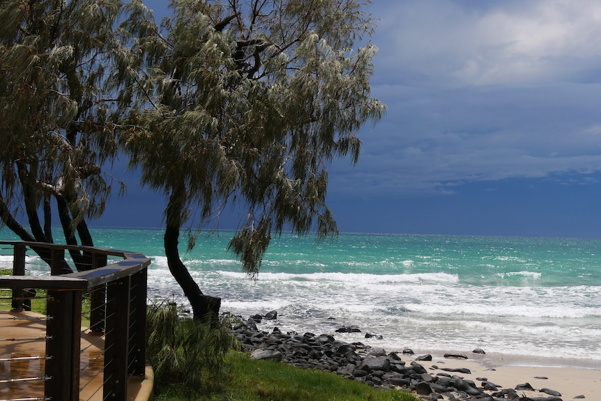
Storms are expected along the southern half of Queensland’s coast today. (ABC Wide Bay: Johanna Marie)
“Across this area, it might be fairly bright and sunny through most of the morning, and then it’s expected that storms are going to develop through the afternoon,” he said.
The weather bureau warned the storms could bring heavy rain, which could lead to flooding, damaging winds and large hailstones.
While heat will begin to ease in the northern half of the state by mid-week, south east Queensland will continue to have hot weather through to the end of the week.
On Thursday, Brisbane is forecast to hit 36C, while both Maroochydore and Surfers Paradise will be 34C.