
Brace yourselves, Canada: winter is coming with a vengeance.
After an unusually mild fall, the jet stream has flipped dramatically, ushering in a sudden and intense transition to winter.
Will the return of La Niña, combined with a disrupted polar vortex, lock in a deep-freeze pattern?
According to the Weather Network, Arctic air is sweeping across the country, and increasingly harsh blasts are expected through December, marking a colder start to the season than Canadians have seen in recent memory.
Read more: Polar vortex to bring winter of yesteryear to Montreal—and that’s not all
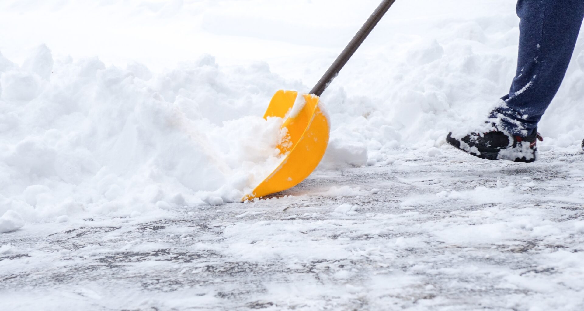
Photograph: Shutterstock / Maridav
Is winter 2025 going to be cold in Canada?
An exceptionally early polar vortex disruption is setting the stage for a steady surge of Arctic air into southern Canada, from the Maritimes to the Rockies, extending through December and into early 2026.
La Niña is also back, stronger than last winter. And together, these forces promise a classic, frostbitten Canadian winter.
If the atmospheric blocking pattern falters, however, eastern regions may experience more unpredictable conditions and occasional mild stretches while western Canada could take the brunt of the cold.
According to the report, the widespread cold scenario seems most likely, though both patterns could emerge in late January and February.
Overall, most of Canada can expect near-normal or below-normal temperatures, with Atlantic Canada and far northern regions possibly seeing above-average warmth.
An active storm track is expected to deliver near-normal or above-normal precipitation and snowfall, though the second half of winter remains uncertain.
Nova Scotia and eastern Newfoundland could see below-normal snow due to storms that mix rain and ice.
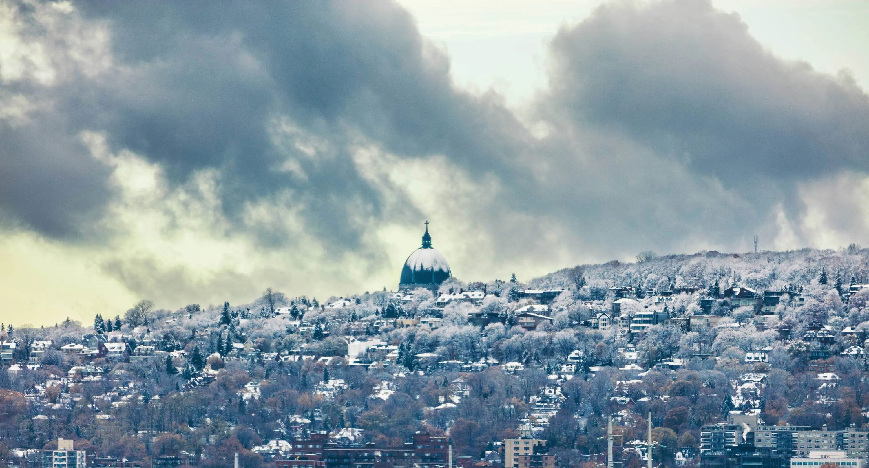
Photograph: Shutterstock / Barisev Roman
What to expect in Quebec for winter 2025
After a sudden plunge into winter in November, cold conditions will continue through December, with more intense winter weather leading up to and during the holidays than Montreal has seen in years.
Temperatures are expected to stay below normal into January, though conditions may become more variable in the second half of winter, allowing brief warmer stretches.
An active storm track should bring near-normal or above-normal snow, though the south may see a few disruptive storms with ice or rain later in the season.
British Columbia
The eastern half of B.C. faces a cold winter with heightened risk of severe cold spells. Coastal areas, including Vancouver and Victoria, should remain near normal, though Arctic outflows are possible. Storms will be intermittent, alternating dry spells with moisture-laden systems. Overall, precipitation and snowfall should average near normal, with above-average snow in the Kootenays and Rockies, while the north coast may be drier. The risk of heavy “Pineapple Express” rain is lower than usual.
Alberta
A very cold winter is expected, with Chinook winds providing occasional relief. Southern Alberta, including Calgary, could see above-average snowfall, while central and northern areas, including Edmonton, should see near-normal snow, with periodic blizzard threats.
Saskatchewan and Manitoba
Frigid conditions are expected, with extended cold spells dominating the season. Snowfall will generally be near normal, except for southwestern Saskatchewan, where totals may be above average. Colder-than-normal temperatures are expected to linger into March, delaying the arrival of spring.
Ontario
A cold start to winter is expected, with more wintry weather leading up to and during the holidays than recent years. Lake-effect snow will impact traditional snow belts and ski areas. Temperatures will remain below normal into January, but the second half of winter may become more variable, especially in southern Ontario from Windsor to Ottawa, with potential milder stretches. Storms will bring near-normal or above-normal precipitation, with occasional messy winter events including ice or rain, particularly later in the season.
Atlantic Canada (Nova Scotia, New Brunswick, Prince Edward Island)
A variable winter is expected, with periods of severe cold before and during the holidays, offset by milder interludes. Southern Nova Scotia, including Halifax, has the best chance of above-normal temperatures in January and February. Precipitation is expected near normal, though mixed storms may reduce overall snowfall.
Newfoundland and Labrador
A changeable winter is forecast, with harsh cold early in the season balanced by milder periods later in January and February. Overall temperatures could exceed seasonal norms. Precipitation will remain near normal, though storms with rain and ice may reduce snowfall, particularly in eastern Newfoundland, including St. John’s.
Northern Canada
Yukon and Northwest Territories are expected to see near-normal temperatures, while much of Nunavut, including Iqaluit, could experience above-average warmth. Snowfall should be near normal, though southern Yukon may see below-average totals. A more changeable pattern is expected, with an increased risk of windy days and ground blizzard conditions.
For more information from the Weather Network, click here.
RECOMMENDED:
Full guide to the best things to do in Montreal
Complete guide to the best restaurants in Montreal