
![]()
Listen to this article
Estimated 2 minutes
The audio version of this article is generated by text-to-speech, a technology based on artificial intelligence.
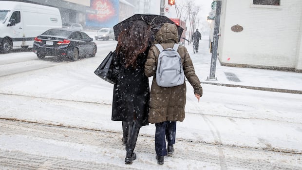
A special weather statement has been issued for Toronto, as five to seven centimetres of snow are expected Sunday.
The snow will begin late Saturday night and will last until Sunday morning when it’s expected to turn to rain, according to the weather alert from Environment Canada Saturday evening.
Depending how long the snow lasts, Toronto could see over 10 centimetres of snow.
Strong southwest winds with of 60-70 km/h are also expected to begin the morning on Sunday but will ease up in the evening.
“Local utility outages are possible. Roads and walkways will likely be difficult to navigate due to accumulating snow,” the alert reads.
Warnings across Ontario
Mississauga snow crews will monitor conditions overnight and are preparing to respond to the possible snow, the city said on social media Saturday.
Warnings are in place across much of southern Ontario, where Environment Canada is calling for between five and 20 centimetres of snowfall by Sunday.
Areas off Lake Huron and Georgian Bay already digging out from this week’s storm are expected to be the hardest hit.
WATCH | Heavy snow expected in southern Ontario:
Snow squalls slam into southern Ontario. How bad will it get?
Snow is hitting Ontario, with some areas expected to get 40-70 centimetres. We speak to CBC’s Carmen Groleau in Kitchener about what to expect this weekend.