
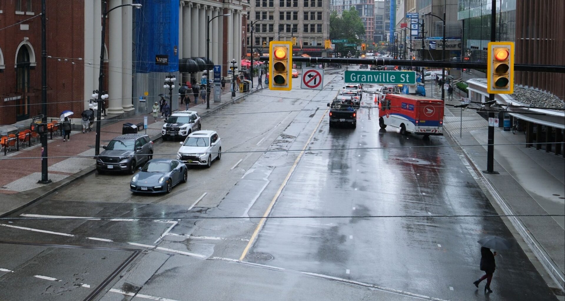
After issuing a yellow warning yesterday pertaining to rainfall, Environment and Climate Change Canada (ECCC) has mentioned that an atmospheric river warning is in effect for Metro Vancouver.
Between 50 and 80 mm of rain could fall, and affected regions include the Sea to Sky (southern sections), Howe Sound, Metro Vancouver (including central, downtown and Burnaby), southeast (Surrey and Langley), northeast (Coquitlam and Maple Ridge) and the North Shore.
The highest rainfall amounts are expected around the Coast Mountains.
“Rain, at times heavy, is expected,” ECCC’s warning says.
The warning says rainfall is set to begin on Tuesday and will last until Wednesday evening.
“An atmospheric river will arrive on the South Coast of BC, bringing heavy rain tonight through Wednesday. Warm air with the system will cause freezing levels to rise, and snowmelt combined with the rain may result in high streamflows and localized flooding,” ECCC says.
A flood watch has been issued for parts of the province, including the Fraser Valley.
The #BC River Forecast Centre has UPGRADED a High Streamflow Advisory to a Flood Watch for the Fraser Valley, incl. the #Chilliwack, Skagit & Coquihalla Rivers & other areas of the Fraser Valley around #Abbotsford, #Chilliwack, #HopeBC & east through Manning Park.
A High… pic.twitter.com/gUa2iH5rlY
— Emergency Info BC (@EmergencyInfoBC) December 9, 2025
ECCC warns drivers that water will “likely pool” on roads and in low-lying areas, with visibility being suddenly reduced at times.
A warning has also been issued for Highway 3 between Hope and Princeton via Allison Pass, with up to 100 mm of rain expected.
After this 48-hour period of rain and the atmospheric river passes through, there’s still more precipitation in the forecast for Vancouver, but it likely won’t be as heavy.
Overnight temperatures will hover between 3 and 8°C for the week, still too warm for snow or winter weather. Daytime highs will reach 11°C later this week.

ECCC
Daily Hive has spoken to a couple of ECCC meteorologists over the past month, curious about when winter weather might hit the region.
In our most recent conversation with ECCC, we were told that temperatures are still too warm for snow.
“The pattern becomes harder to predict in the second half of December,” ECCC Meteorologist Derek Lee told Daily Hive. “We may see lower temperatures than normal and a cooler trend by the end of the month.”
“There is a possibility that this trend continues in January. La Nina is pretty weak at the moment, so there could be a delay in when it starts.”