
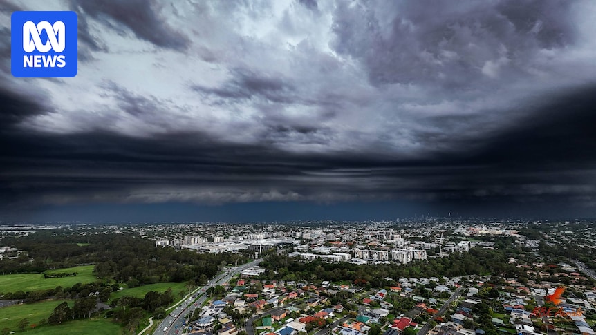
Parts of south-east Queensland can expect a slight easing of summer heat early this week, with the weather bureau forecasting temperatures to drop by up to 6 degrees in some areas.
Rain and storms are also expected across the state over the coming days.
The dreary weather comes as Queensland public schools let out for school holidays.
The lower temperatures are set to provide a reprieve for large parts of the state, which have been sweltering through higher than normal temperatures for this time of year.
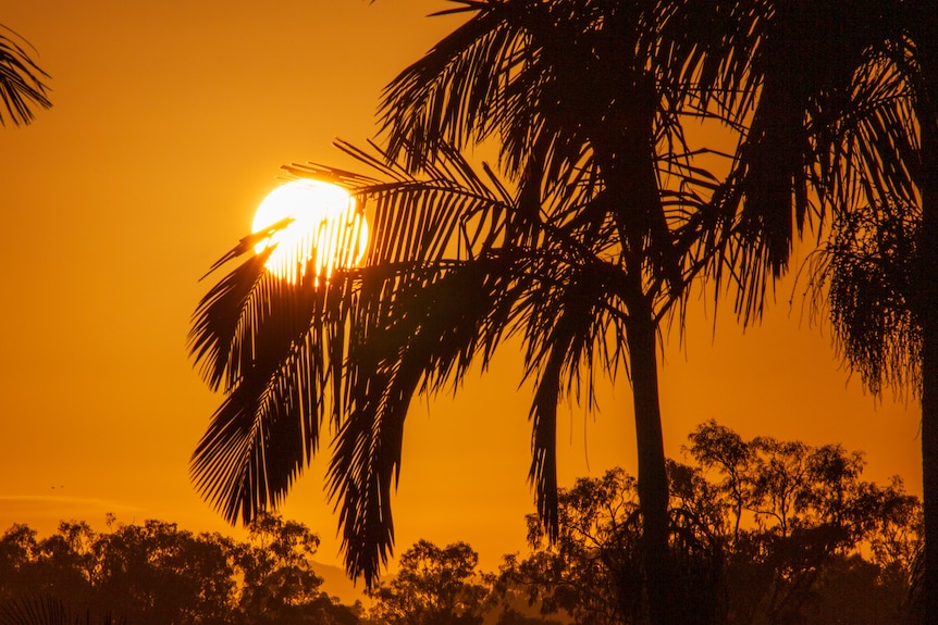
Sunrise from Sunnybank Hills on Monday, October 20. (Supplied: Pat Cahill)
Cloud cover and change in temperature
Monday is forecast to bring cloud cover with a chance of isolated showers across the south-east.
Temperatures are expected to remain warm, with Brisbane forecast to hit a maximum of 34 degrees. The Gold Coast’s maximum is 31, while Maroochydore’s is 32.
Gladstone is forecast to reach a maximum of 32 degrees, while temperatures could hit 38 in Longreach and 38 in Mt Isa.
Townsville, Mackay and Cairns are all forecast to reach a maximum of 33 degrees.
The Bureau of Meteorology’s Jordi Cairol said while forecasters were “not expecting much precipitation” on Monday, Tuesday would bring a change.
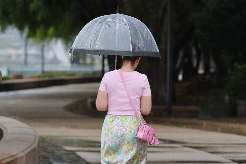
The weather bureau is forecasting lower temperatures and more rain this week. (ABC News: Lucas Hill)
“We are expecting more showers and thunderstorms, particularly around the Sunshine Coast, which could have moderate falls of 20 to 25 millimetres,” he said.
“Tuesday’s cloud cover will also bring a significant change in temperature, it could drop 5 to 6 degrees down to about 28.”
Mr Cairol said weather in the state’s south-east was broadly expected to clear from Wednesday, with showers “less likely”.
Severe storms forecast
While the weather is forecast to remain relatively mild in the south-east, Mr Cairol said things could be more extreme in central Queensland.
What are your options if stormwater runoff damages your property?
“We are expecting severe storms with a risk of heavy rainfall,” he said.
“On Tuesday, it will extend towards the southern interior and even reaching the Sunshine Coast and Darling Downs, and the New South Wales border.”
Mr Cairol said the storms were forecast to bring heavy rainfall and damaging winds, but no hail was expected.
In north Queensland, a heatwave warning remains in place for Cape York Peninsula, but that is expected to ease in the coming days.
Temperatures in the state’s north have been slightly below average this month, according to the BOM, and showers are expected from Tuesday to Wednesday.
South-east still recovering from severe storms
Many residents are still feeling the effects of days of storms that lashed parts of the state, especially the south-east, in late November.
Thousands were left without power for days after strong winds, hail and flooding took out power infrastructure and damaged homes.
Six storms over the past three months have brought hail, with the state seeing more than double the usual occurrences of giant hail than usual since July.
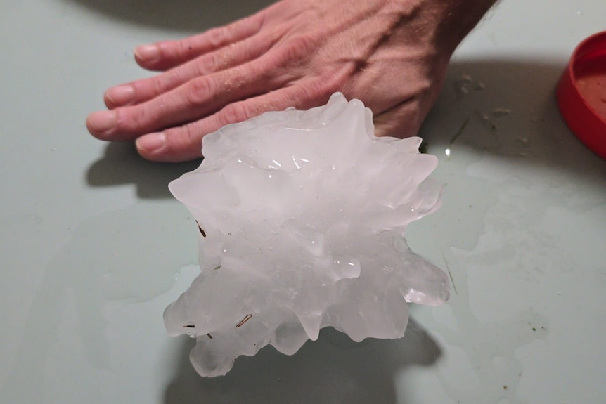
Mitchelton residents said they found hail the size of their hands during storms in November. (Supplied: Kayleen Gordon)
Some of that hail has been especially large, with 14-centimetre hail recorded during a storm in November at Chandler, in Brisbane’s south-east, and 11-centimetre hail falling on the city’s bayside.
Despite the severe storms, Queensland’s December rainfall is sitting slightly below average, while both maximum and minimum temperatures have been broadly above average.
What to expect this summer
As the holiday season approaches, Mr Cairol said the current forecast was not indicating extreme weather around the holiday period.
“For the next couple of weeks we are looking at an average chance of rain … nothing unusual,” he said.
“For the week from Christmas to New Year we are expecting temperatures to be a little higher than average … temperatures have been slightly above average in general, particularly in western Queensland.”