
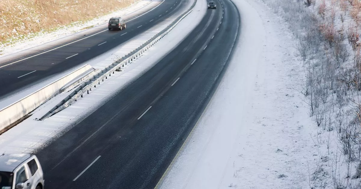
A band of cold air moving in may bring with it low temperatures for Christmas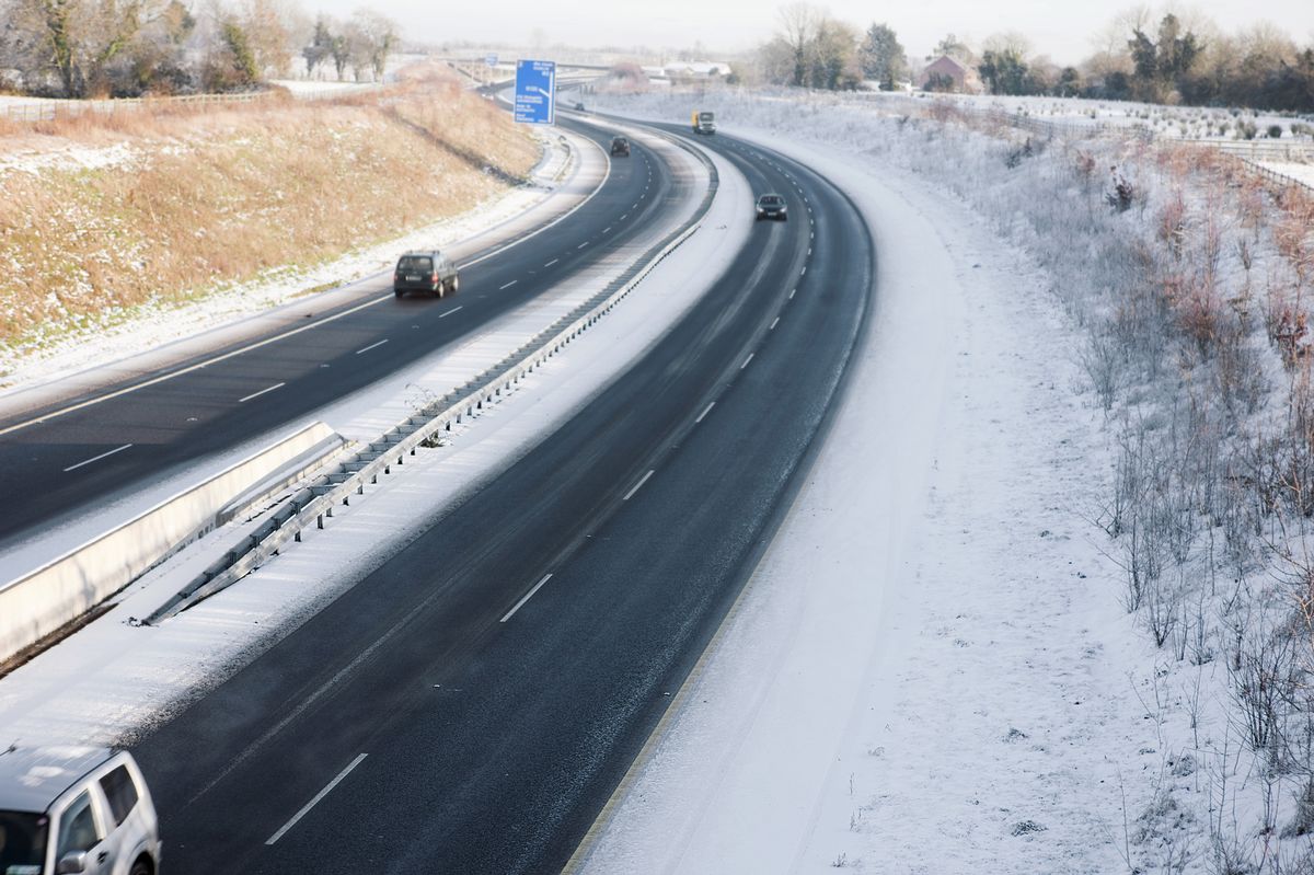 Dual carriage way from above on a snowy winter daywith low light
Ireland could be in for some very cold weather around Christmas.
Forecasters are predicting a band of colder air moving in across the country, bringing with it lower temperatures. This may come after a week of relatively mild, but wet and windy, weather for much of the island.
Alan Reilly of Carlow Weather said: “Weather models showing a chance of colder air moving in around Christmas Day but still uncertainty around the details.” He emphasized that forecasting that far ahead can be unpredictable.
Meanwhile, Cathal Nolan of Ireland’s Weather Channel said that a “hint of snow” is even possible on higher ground. He said that there may be a “bitterly cold Christmas day ahead of us.”
He said, via Facebook: “A range of trusted forecast models continue to hint at the development of a protracted cold spell of weather, with perhaps Christmas Day being the coldest in the initial wave of colder air.”
There’s even the whisper of snow across the hills and mountains of the east coast, but more on that in tomorrow’s update where we’ll delve into the upcoming cold spell, the risk of snow for some favoured spots and the potential duration of such a cold snap.”
In the meantime, this week will be relatively mild with showers and windy conditions dominating the forecasts. Check out the predictions for the week:
Wednesday
Met Eireann said that today will kick off with wet and cloudy conditions. Rain developing across Munster and Leinster this afternoon. Elsewhere will be cloudy with scattered showers. Quite blustery too with fresh southwesterly winds, strong at times along western coasts. Highest temperatures of 10 to 13 degrees.
Tonight, it may be cloudy and blustery. Showers will stream in across Connacht and Ulster but mainly dry elsewhere. Clear spells developing elsewhere with fresh southerly winds easing overnight. Lowest temperatures of 3 to 6 degrees.
Thursday
Wet and unsettled with overcast skies and rain spreading throughout during the morning and afternoon. The rain will gradually clear later in the afternoon followed by scattered showers in a brisk westerly breeze. Highest temperatures of 7 to 11 degrees.
Wet and blustery Thursday night with fresh and gusty westerly winds and showers across western counties. Some showers heavy at times too. Further east rain will clear to leave some clear spells overnight. Lowest temperatures of 3 to 6 degrees.
Friday
A few showers and blustery winds to start in the morning across western counties with sunny spells elsewhere. The showers will die out later in the morning however more cloud will continue to develop and become widespread by late afternoon. Highest temperatures of 8 to 11 degrees with westerly breezes, easing through the day.
Follow Alan Reilly of Carlow Weather and Cathal Nolan of Ireland’s Weather Channel for more updates, and check out www.met.ie for the latest forecasts.
Join our Dublin Live breaking news service on WhatsApp. Click this link to receive your daily dose of Dublin Live content.
We also treat our community members to special offers, promotions, and adverts from us and our partners. If you don’t like our community, you can check out any time you like. If you’re curious, you can read our Privacy Notice.
For all the latest news from Dublin and surrounding areas visit our homepage.