A volatile mix of extreme heat, heavy rain and storms is set to impact large parts of Australia as the Christmas period approaches, prompting warnings for travellers and communities nationwide.
Meteorologist Miriam Bradbury from the Bureau of Meteorology told Yahoo News Australia multiple weather systems are converging to create heightened risks across large parts of the country, particularly in the days leading into and including Christmas Day.
In Western Australia, extreme heat is forecast to build as a west coast trough develops, a system known for drawing hot inland air towards the coast.
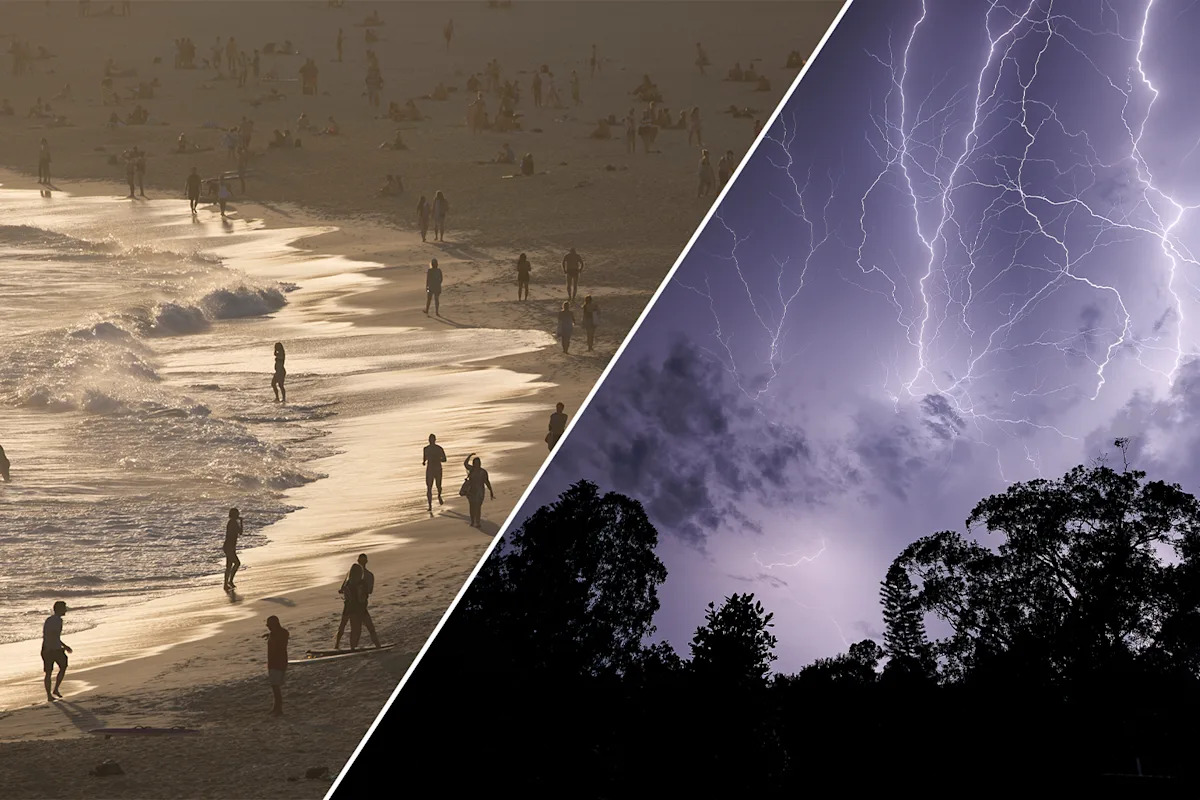
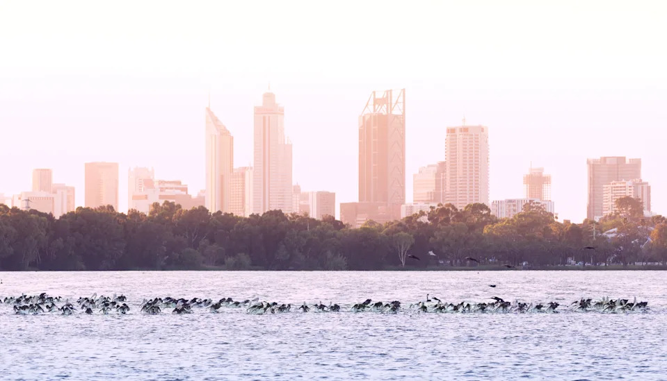
Perth is expected to reach close to 40 degrees on Christmas Day, with elevated overnight temperatures increasing the risk of heatwave conditions.
“Heat is going to be the story for Western Australia,” Bradbury said.
“Heatwave conditions are definitely likely further north across parts of the Gascoyne and the Pilbara.”
Related: Christmas Day weather forecast for every Australian state and capital city
Perth is expected to reach close to 40 degrees on Christmas Day. Source: Getty
Heat is likely to persist
Forecasts show temperatures in Perth climbing into the mid to high 30s from December 23, with minimums remaining in the low to mid-20s overnight.
Bradbury said heatwave conditions are already likely across northern parts of the state, including the Gascoyne and Pilbara regions.
The heat is expected to persist, with limited overnight relief, increasing the risk of heat stress and elevated fire danger, particularly for those travelling or spending extended periods outdoors during the festive season.
Wet weather for the north
In stark contrast, northern Australia is facing a prolonged period of wet and stormy weather, with widespread showers and thunderstorms forecast across northern Western Australia, the Northern Territory and large parts of Queensland.
“Right across northern Australia, we’re looking at widespread showers and thunderstorms,” Bradbury said.
Moderate to heavy rainfall is most likely across the Top End of the Northern Territory, where saturated catchments could heighten the risk of flooding.
Storm activity is also expected to extend into central and eastern Queensland, bringing humid conditions and the potential for local heavy falls.

Storm activity is expected across Queensland. Source: Getty
Bradbury said the persistent rainfall is linked to an increasingly active tropical pattern, as meteorologists monitor signs of the monsoon approaching northern Australia.
“We’re definitely moving into a period of very persistent wet, stormy, humid weather up in the north, which can sometimes herald that the monsoon is approaching,” she said.
While the official onset of the monsoon has not yet been declared, Bradbury said key indicators are beginning to fall into place.
The developing pattern follows the movement of a tropical low-pressure system currently crossing the Gulf of Carpentaria, which is expected to bring heavier rainfall to parts of the Northern Territory over the weekend before weakening.
Although the system itself is forecast to dissipate ahead of Christmas, Bradbury said it is part of a broader wet signal likely to continue into the festive period, particularly across northern regions.
Mixed bag for Queensland
In Queensland, severe weather impacts may be more variable.
While southeast Queensland, including Brisbane and the Gold Coast, may avoid the most intense rainfall, showers and thunderstorms remain possible, with warm and humid conditions forecast to persist.
“It might be a grey, showery and thunderstormy day for much of Queensland,” Bradbury said.
Further south, the severe weather risk is lower, though cooler-than-average temperatures and unsettled conditions are expected across parts of Victoria and Tasmania.
A high-pressure system over southern Australia will keep conditions relatively stable, but isolated showers are likely, particularly across coastal and elevated areas.
Bradbury said it was too early to issue formal severe weather warnings for Christmas Day, as the Bureau typically delivers warnings within 24 hours of expected impacts.
However, she warned that the risk of warnings being issued in the coming days remains high, particularly for heavy rainfall in the north.
“At this stage, there’s definitely a risk of some heavy rainfall, which would trigger either a severe weather warning or a severe thunderstorm warning for heavy rainfall,” she said.
Australians, particularly those travelling or spending time outdoors over the festive period, are being urged to monitor forecasts closely as conditions evolve.
Love Australia’s weird and wonderful environment? 🐊🦘😳 Get our new newsletter showcasing the week’s best stories.