
An unusually strong low-pressure system that could meet criteria for a bomb cyclone is forecast to make landfall in Northern California late Tuesday. Purple colors correspond to areas where sea-level pressure is forecast to be record low for late December.
PolarWx
As the Bay Area braces for an atmospheric river-fueled rainstorm this weekend, a potentially stronger system is on the horizon next week — one that could meet the criteria for a bomb cyclone and bring widespread damaging winds.
While the term “bomb cyclone” may be generalized as a buzzword for a strong storm, there is a meteorological threshold for reaching that classification.
If the central barometric pressure of a storm drops rapidly enough, it meets the criteria for a bomb cyclone. At San Francisco’s latitude, the threshold for “bombogenesis” is a central pressure drop of 17 millibars or greater in 24 hours.
Article continues below this ad
The powerful low-pressure system approaching California’s coast on Tuesday is forecast to drop 20 millibars in 24 hours, according to the European Center for Medium-Range Forecasts. Other weather models are also in line with the European’s simulation.
Bomb cyclones are frequent in the western and central Pacific Ocean, but much less common along the California coast. That’s because cyclones in the middle latitudes are driven by temperature differentials in the atmosphere. Cold air is often lacking off the California coast.
San Francisco Chronicle Logo
Make us a Preferred Source to get more of our news when you search.
Add Preferred Source
But next week, a wavy atmospheric pattern is expected to support the clash of air masses necessary for a rapidly-developing storm. The convergence of dry sub-Arctic air with moist subtropical air over the Pacific Ocean on Tuesday evening will force the moist air to rise, generating clouds and precipitation. This rising air causes a sharp drop in air pressure at the center of the system, the beginning of a powerful, counterclockwise-spinning storm.
Article continues below this ad
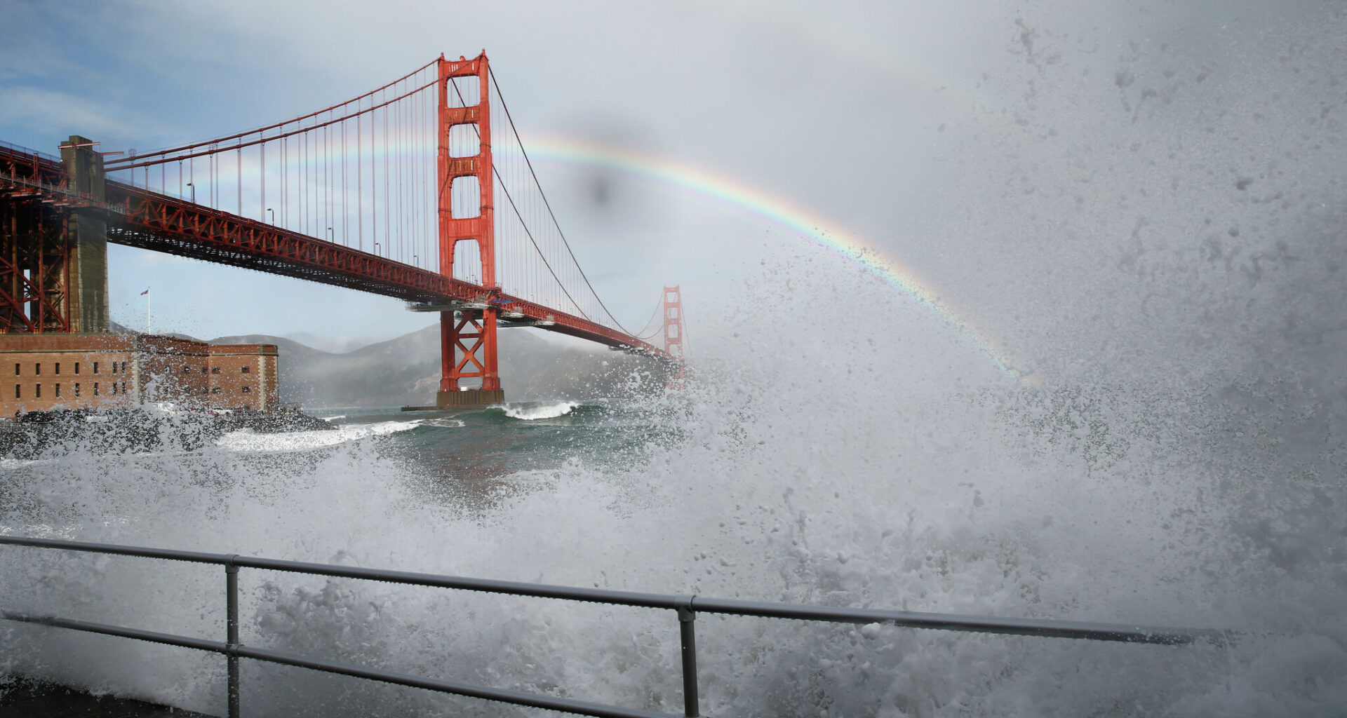
Waves crash and go over the railing at Fort Point in San Francisco, Saturday, Dec. 30, 2023.
Santiago Mejia/The Chronicle
Urban flooding
National Weather Service meteorologist Dylan Flynn warned that roads will almost certainly flood next week. The heaviest rain typically occurs at night, which can flood low-lying roads that will be difficult to spot after the sun sets. Current forecasts predict that Tuesday night will have the greatest risk for flooding and wind damage, Flynn said.
“If you’re traveling to grandma’s house for Christmas at night, especially, just be really, really careful,” he said. “If it’s raining and visibility is low, it can be hard to tell what’s road and what’s water.”
Damaging winds
Bomb cyclone or not, a storm strengthening upon its approach to the Bay Area is a recipe for widespread damaging winds.
Article continues below this ad
Wind gusts are likely to exceed 55 mph along the coast and 45 mph inland. There’s a moderate probability of 65 mph gusts in coastal and mountainous areas.
The National Weather Service forecasts that impactful and potentially hazardous winds will return to the Bay Area on Tuesday through Thursday.
National Weather Service
Strong winds are forecast to extend from the Bay Area to the Oregon border, and a large swath of downed trees and power outages are possible Christmas Eve.
It’s too early to say exactly when winds will peak in the Bay Area, but they are expected to ramp up Tuesday afternoon before fading midmorning Wednesday. A second round of winds is possible on Christmas Day.
Winds are forecast to be strongest from the south-southeast, an atypical direction for Bay Area winds. Trees in this region are resilient to westerly winds, the prevailing direction from summer afternoon breezes.
Article continues below this ad
Additionally, inches of rain ahead of the storm will loosen soils, adding to the possibility of downed trees.
A woman walks down Union Street on a rainy day in San Francisco, Calif., on Friday, Dec. 19, 2025.
Gabrielle Lurie/S.F. Chronicle
The storm “is going to trek near–parallel (to) the Bay Area coast,” the weather service wrote in an online forecast. “This in conjunction with antecedent conditions has the potential to make this the most widespread impactful system” next week.
A bomb cyclone off the California coast in February 2024 caused damaging winds to the Bay Area. Another bomb cyclone in November that year was well northwest of California, but directed a strong atmospheric river toward the Bay Area that led to flash flooding in San Francisco and river flooding along the Russian River.
Article continues below this ad