
Queensland is predicted to have a wet, stormy Christmas, with the weather bureau forecasting widespread storm activity across the state over the next week.
Storms are expected to set in from today, bringing heavy rainfall, damaging wind gusts, and the potential for more hail.
Senior forecaster Rosa Hoff said there was “quite a large area” in which severe thunderstorms were possible today.
“Our chance of seeing thunderstorm development does spread over much of the state, but the severity really is in a diagonal swathe extending from our Northern Territory border all the way down to the far south-east,” she said.
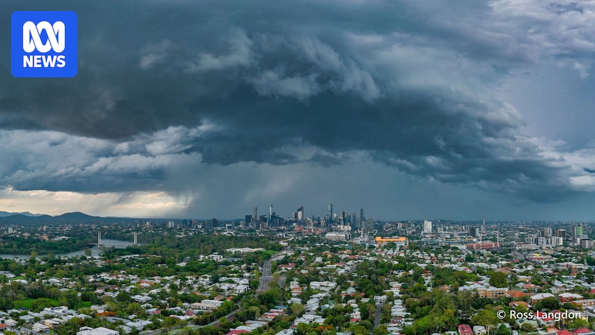
Severe storms are expected to lash large parts of the state over the next week. (Supplied: Sandra Taylor Bach)
Ms Hoff said a trough in western Queensland was combining with moisture coming from the south.
“This is resulting in a great potential for thunderstorm activity inland, especially to produce heavy rainfall,” she said.
“Plenty of moisture up in the air, and what’s sitting up there has a good chance of coming down.”
Ms Hoff said rainfall totals could reach 100 millimetres close to the Gulf coastline, but totals would likely be less in other areas.
“It’s much more likely that storms through western Queensland could produce 30 to 60 millimetres, and closer to Brisbane those totals are a lot lower,” she said.
“The chances are storms are likely to produce 20 to 40 millimetres, but it will depend on the duration of those storms.”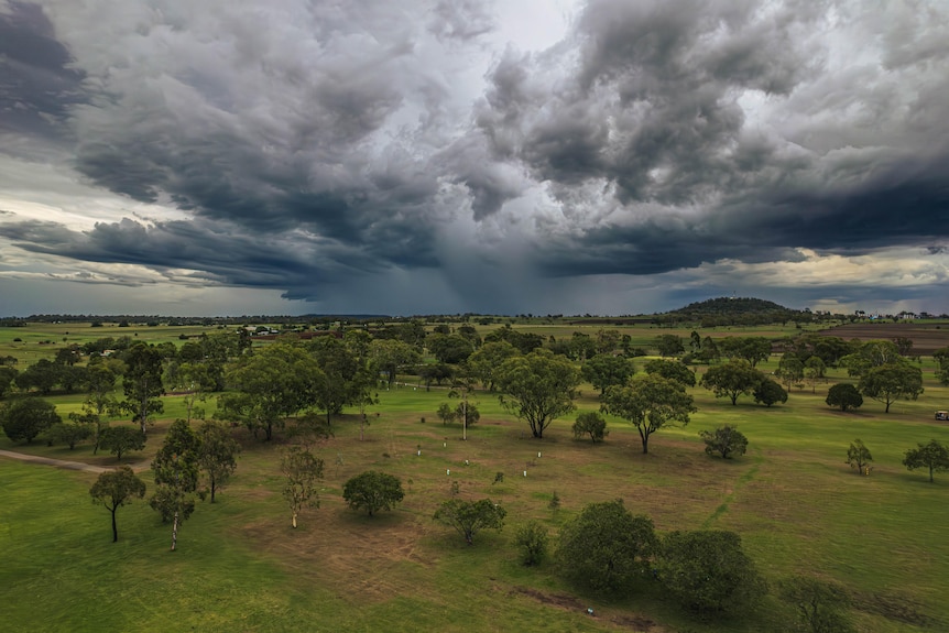
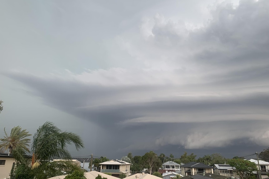
Severe storms are possible in a broad band from the state’s north-west to south-east. (Supplied: William Ashton)
The weather bureau is forecasting the unsettled weather to last throughout the Christmas week and begin to ease fully in the new year.
Ms Hoff said “really moist and convective” conditions were likely to remain over the north-west of the state until after Christmas.
Despite the stormy outlook, hail was expected to be more of a concern for New South Wales than Queensland.
“We do have a risk of seeing the development of large hail, but at this stage it is more likely south of the border in north-east New South Wales,” Ms Hoff said.
“At this stage it’s less likely closer to the Brisbane border.”
Christmas storms
Christmas Day is expected to be no exception to the stormy forecast.
“At this stage, our Christmas forecast does come with a few rumbles of thunder,” Ms Hoff said.
Hail threat rises with climate change
Despite this, Ms Hoff said the chance of severe thunderstorms on Christmas Day was “at this stage, a little bit more confined” to north-western parts of the state.
“If we do see a severe thunderstorm develop, particularly around the Mt Isa region and adjacent districts, we could see the risk of heavy rainfall with that,” she said.
“But elsewhere in the state, thunderstorms are likely to remain below severity at this stage.”
In some places, though, the Christmas weather could be a bit more palatable.
“If you’re down in the state’s south-west, you might be treated to some clearer skies,” Ms Hoff said.
“You’ll be the envy of many, I’m sure.”
Remains of a heatwave
Heatwave warnings remain in place across parts of the south, with severe heatwave warnings active for the Darling Downs and the Granite Belt, and parts of Brisbane.
That’s expected to regulate over the next few days as temperatures return to more normal levels.
“The good news is that as we approach Christmas we will see some of these conditions ease back on Wednesday and Thursday,” Ms Hoff said.
“While they’re likely to be a splash on the warm side, we’ll see a return below heatwave [conditions].”