
It looks like those who hoped for a white Christmas will get their wish a day late.
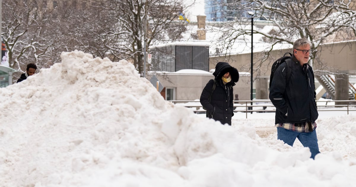
Environment Canada says the Greater Toronto Area could see “significant snowfall” on Friday with between eight and 12 centimetres of the white stuff, starting midday and into the evening.
On Thursday morning, the national weather agency issued a special weather statement for the GTA and most of Southern Ontario advising of the possible winter storm on Boxing Day.
Hours later, Environment Canada later pit out a “yellow warning,” advising of “significant snow” expected on Friday in Toronto.
“Snow is expected to begin late Friday morning and then end from west to east through Friday evening,” it said, adding there’s some uncertainty when it comes to the “track of the low-pressure system, which may impact the eastern edge of the significant snowfall area.”
People should note that the snowfall may be heavy at times, especially in the afternoon hours, and visibilities will likely be reduced, the agency said.
“Motorists should exercise caution and adjust travel plans accordingly,” said Environment Canada.
“Travel will likely be challenging. Roads and walkways will likely be difficult to navigate due to accumulating snow. … Allow extra time for travel.”
Christmas forecast
Toronto is set to see mainly cloudy weather on Christmas Day Thursday, with a high of 1 C, though it could feel more like -11 with the wind chill into the evening.
Overnight, the temperature is expected to feel more like -19 with the wind chill.
On Friday, the city will see a high of -5, with a wind chill of -19 in the morning and -13 in the afternoon.
A high of 2 C is expected Saturday and a high of 1 C is expected on Sunday.