
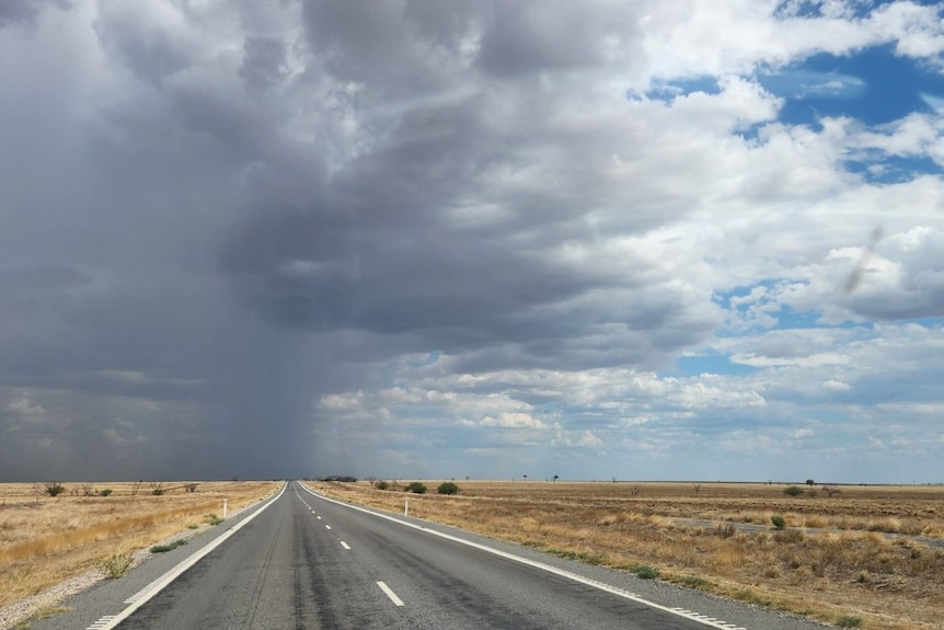
Northern parts of Queensland are being warned to brace for a weekend of heavy rainfall, bringing with it the potential for flash flooding.
Loading…
Particularly at-risk isolated areas in the state’s north-west could experience daily rainfall totals in excess of 200 millimetres, according to the Bureau of Meteorology.
Senior forecaster Felim Hanniffy said “widespread shower and storm activity” was forecast on Saturday across the “northern half” of the state.
Severe storms were possible from parts of the north-east tropical coast to the north-west and gulf regions, he said.
Some “localised intense falls” were also expected in parts of the far north-west and gulf along with the north-east tropical coast.
Mr Haniffy said the rain was predicted to intensify and continue across several days in the north-west and gulf regions with daily totals on Sunday possible between 100 to 200mm.
Isolated areas could get in excess of 200mm “on a daily basis”, he said.
Watching the rain roll in at Hyde Park Station, 220 kilometres south-west of Charters Towers. (Supplied: Rebecca Lamont)
Extensive flood watches are also in effect across northern Queensland, after what had already been an extremely wet week.
“We’ve seen, you know, seven-day rainfall totals up here, with just persistent shower and storm activity, of upwards of 200mm in some areas,” Mr Hannify said.
As the rain continued to fall on already wet catchments over the weekend, the BOM was warning of a potential “protracted flood event” into next week in parts of the north-west.
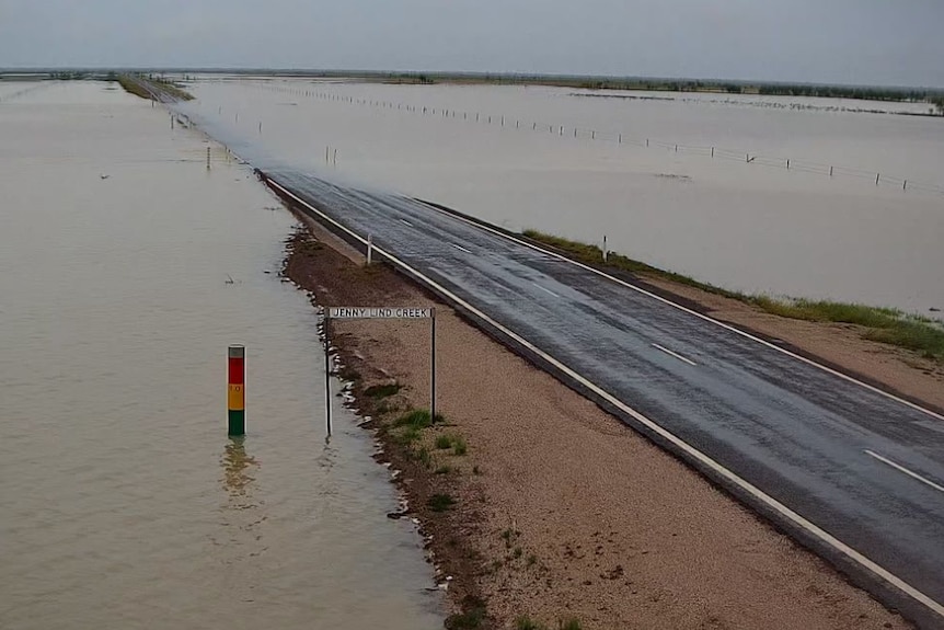
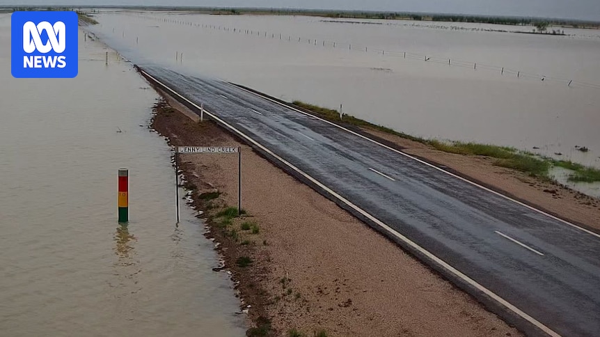
Flood cameras showed the water level at Jenny Lind Creek in the Carpentaria Shire on Boxing Day. (Supplied: Carpentaria Shire Council)
Mount Isa residents preparingGold Coast tourists stranded day after partial crane collapse
In Mount Isa, in the state’s north-west, locals were bracing for significant rain and the potential for cooler temperatures, which could be more than 12 degrees Celsius below average, according to BOM’s forecasts.
Mount Isa District Acting Superintendent Paul Austin said although residents were used to the wet season, people should be aware of what was to come.
“We’re starting to receive advice from the BOM of falls per day of 100 to 200mm and in some isolated areas up to 300mm per day,” he said.
He said that graziers and property managers also needed to be mindful of a potential drop in temperature.
“Easterly winds will bring a fresh change so it is a concern to us there could be chill risk to livestock like we have seen in past weather events,” he said.
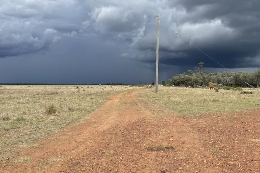
Rain clouds were on the horizon on Boxing Day between Julia Creek and Kynuna. (Supplied: Annette Dwyer)
Warning to motorists
In Cloncurry, 120 kilometres east of Mount Isa, the State Emergency Service began handing out sand bags on Friday.
Floods don’t always move slowly, prepare now
The town received 120mm of rain in the 24-hour period to 9am on Boxing Day.
Holiday-makers were also being urged to monitor conditions and check road closures before setting out.
Rolling road closures due to flooding were reported on Boxing Day as water levels rose. However, conditions were changing quickly.
Superintendent Austin said drivers should be aware of road conditions and check the latest advice.
“And if it’s flooded forget it,” he added.
Wet conditions for large swathes of Queensland’s north were due to continue into next week as monsoon conditions set in to parts of the gulf.
The BOM’s Mr Hanniffy said a coastal trough could also lead to heavy to intense rainfall on the north-east coast, particularly between Bowen and Cairns, early next week.