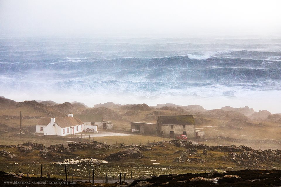
Main pic: Martina Gardiner’s Stormy Day at Malin Head photo, overall winner in the 2019 Clean Coasts Love Your Coast Photography Competition.
Met Éireann has issued a weather advisory for Storm Floris, which will bring wet and unseasonably windy weather on Sunday night into bank holiday Monday.
The forecaster said it would issue weather warnings tomorrow ahead of the storm’s arrival.
“Storm Floris has been named by the (UK Met Office), as a low-pressure system is set to move in over the northwest of Ireland late on Sunday night, bringing unseasonably strong winds and heavy rainfall through to Monday afternoon,” a Met Éireann spokesperson said.
It said some potential impacts include dangerous travelling conditions, knock-on impacts for outdoor events, structural damage, fallen trees, debris and loose objects.
Met Éireann said the storm could also cause power outages, wave overtopping and localised flooding.
In the forecaster’s outlook for the coming days, it said it will turn wet and windy on Sunday night as rain spreads from the west, with fresh and gusty winds.
It said there was uncertainty around the forecast for bank holiday Monday, but that current indications suggest it will be a wet and windy start with strong and gusty westerly winds.
It added that there will be widespread rain, possibly heaviest over parts of the northwest before clearing eastwards through the morning and afternoon.
Northern Ireland will be placed on a yellow wind warning by the UK’s Met Office.
It will come into force from 6am on Monday morning and remain in place until 6am on Tuesday morning.
Storm Floris is the sixth named storm of the 2024/2025 season.
Storm Floris to hit north west on Sunday night – Met Éireann was last modified: August 1st, 2025 by Staff Writer
Tags:

