
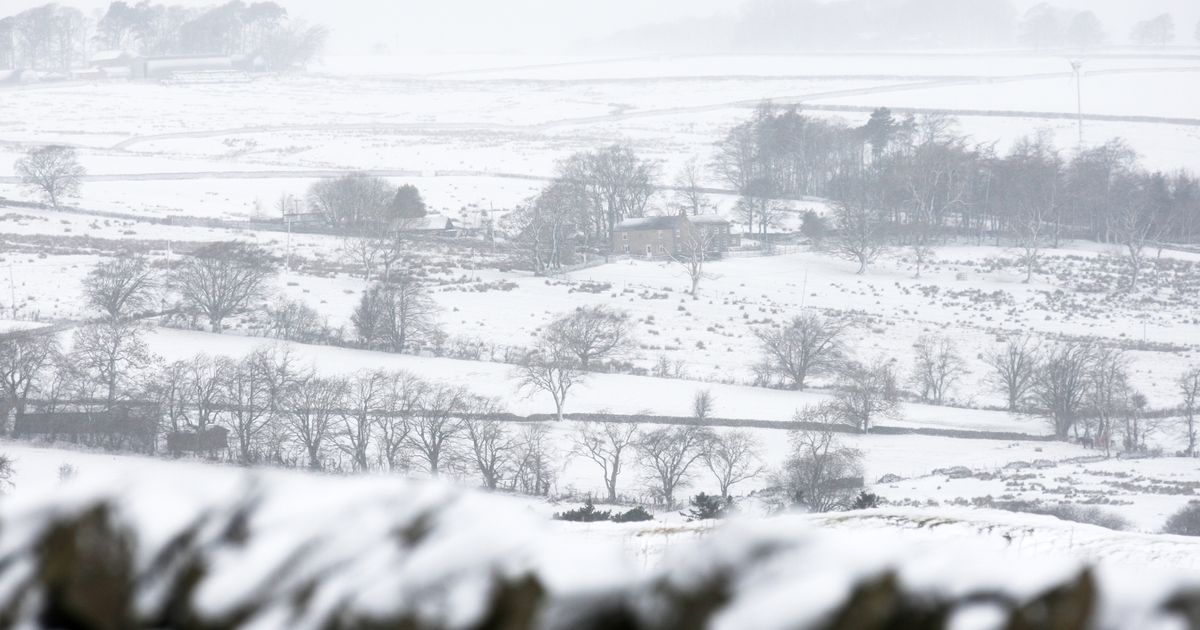
Weather maps suggest blizzard-like conditions could hit the North East and much of Britain bringing snow as soon as next week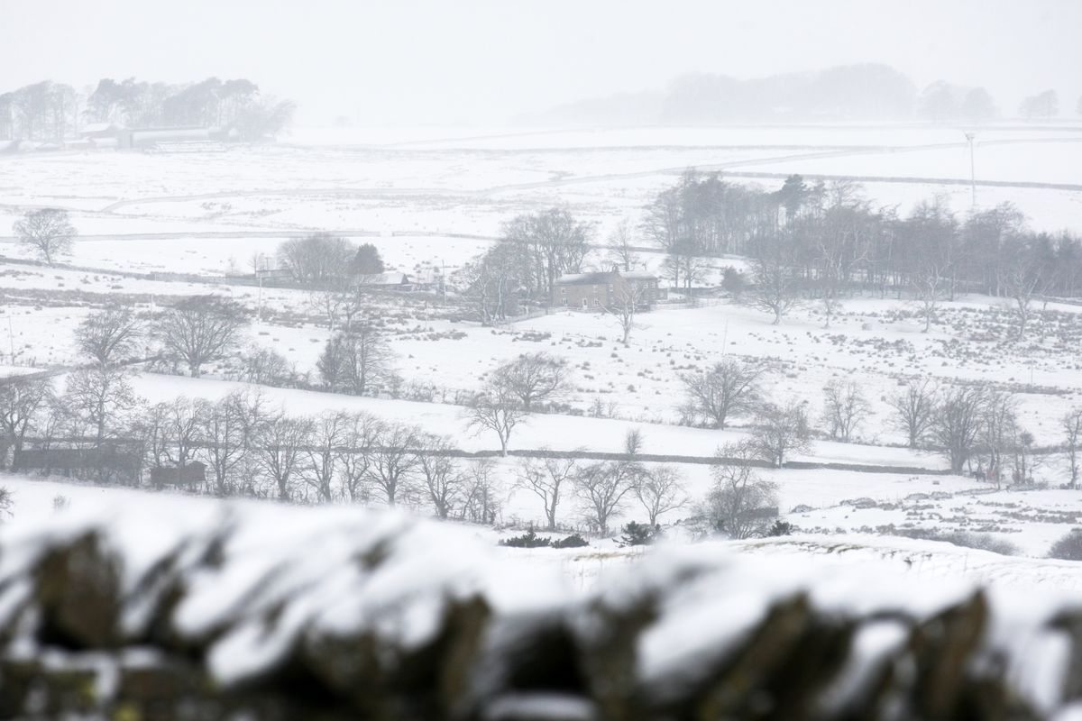
24 hours of blizzards are expected to hit the UK(Image: Newcastle Chronicle)
The UK is preparing for another wintry onslaught as snow is forecast to arrive within days. New weather maps are predicting 24 hours of blizzards starting from midnight on January 27.
WXCHARTS data suggests an aggressive low-pressure system will move in overnight on Tuesday, January 27, with snow progressing northwards throughout the remainder of the day and into Wednesday.
The most recent ECMWF snow charts show that snowfall will commence shortly after midnight on January 27, initially impacting regions around Stoke on Trent, Manchester, Liverpool, the North East and sections of Scotland . As Tuesday unfolds, around 9am in the morning, the white stuff should soon reach Birmingham and areas south of the city.
London, however, should only experience rainfall. By 3pm, snow should soon impact several counties across northern Wales.
Towards the day’s conclusion, the snow band will decisively move northward, with a modest portion of central England and the bulk of the North East of England and Scotland facing the highest risk of snowfall overnight into Wednesday.
Despite the extensive wintry conditions, the charts indicate that numerous major cities – particularly across southern England – may experience minimal or no accumulating snow, as warmer air maintains precipitation as rain, reports the Express.
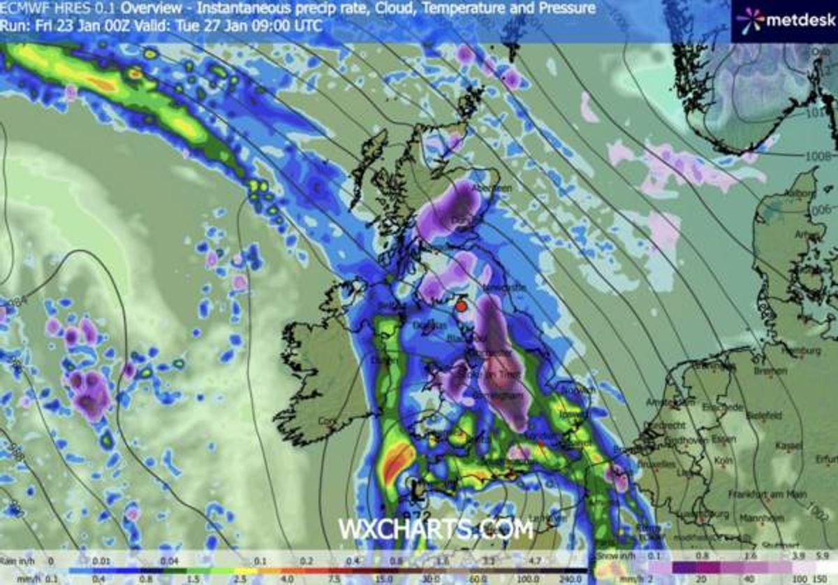
Snow map for Tuesday, 27 January at 9:00am(Image: WXCharts)
Weather experts caution, however, that minor adjustments in the system’s path could still deliver unexpected developments, with snow boundaries prone to alter at brief notice. All information and snow accumulation projections are derived from the most recent ECMWF model data via WXCHARTS.
WXCHARTS maps also indicate that numerous major UK cities are poised to escape snowfall as the primary snow band withdraws northward by approximately midnight on January 28, positioning much of southern and eastern England on the warmer side of the weather system, experiencing rain instead of snow. London, together with much of the South East, including Brighton, Canterbury and Maidstone, is anticipated to dodge any significant settling snow, whilst throughout East Anglia, cities such as Norwich, Ipswich and Cambridge are also predicted to experience temperatures too elevated for snow to gather.
Moving westward, South West England is projected to avoid snowfall as the frigid air retreats, meaning Plymouth, Exeter and Truro are predicted to stay predominantly snow-free despite previous heavy downpours. The same situation applies to sections of southern Wales, where Cardiff and Swansea lie beyond the main cold zone, with WXCHARTS showing the snow threat remains focused across northern England and Scotland during this period.