
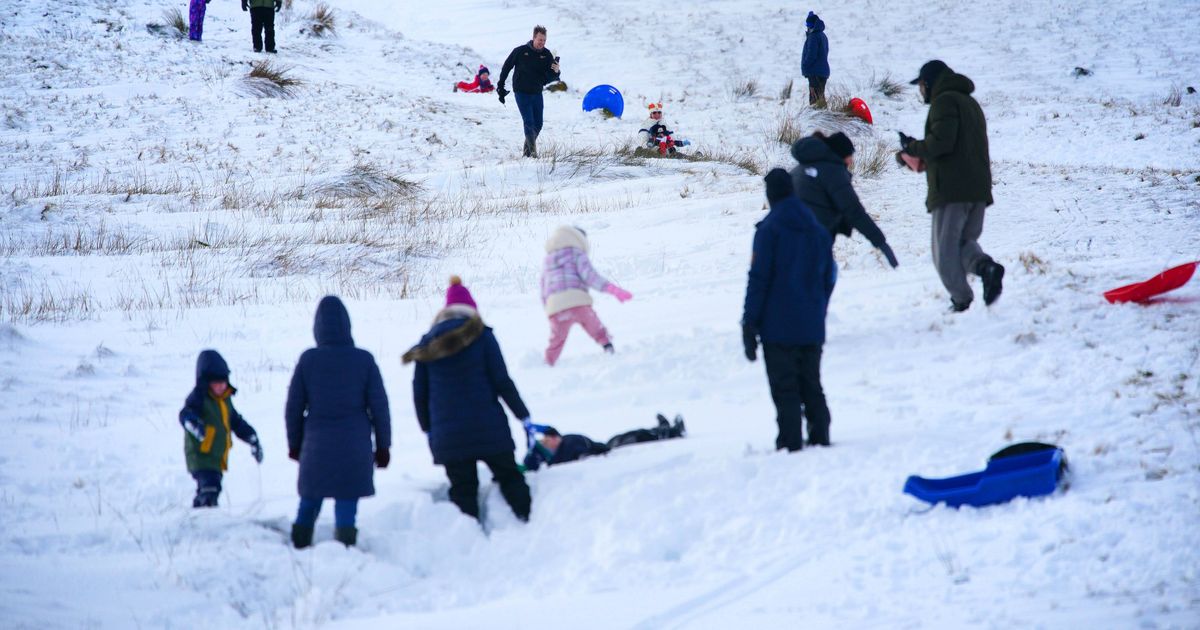
Weather maps suggest more wintry weather conditions during February
(Image: © 2026 PA Media, All Rights Reserved)
The next snow system appears to be heading for the UK, according to latest forecasts.
February could bring more wintry conditions, latest weather maps show.
Forecasts for Friday, February 13 show snow covering large parts of the UK.
READ MORE: £575 bonus confirmed for state pensioners and date named
Get breaking news on BirminghamLive WhatsApp
The white stuff stretches from the far north of Scotland, down much of eastern and central England and over towards London.
It covers much of the Midlands including Birmingham, Wolverhampton and Stoke-on-Trent.
It comes as colder temperatures are set to hit at the start of February.
The Met Office said snow could also hit parts of the country during the early part of February.
The forecast for February 3 to February 12 states: “Largely unsettled weather is expected to begin, bringing showers or longer spells of rain for many places.
“It may also be rather windy at times, especially towards the south west.
“Towards the northeast, colder conditions will remain nearby, with the risk of colder air pushing further south west at times, increasing the chance of snowfall.
“Although snow is more likely over high ground, some snow to lower levels could not be ruled out.
“Temperatures will be close to average for most, but perhaps rather cold in the northeast.
“An often brisk wind will accentuate the colder feel too, especially for coastal districts.
“As we move through the forecast, confidence lowers between whether milder air from the south west will dominate or colder air from the east moves more bodily in.”