
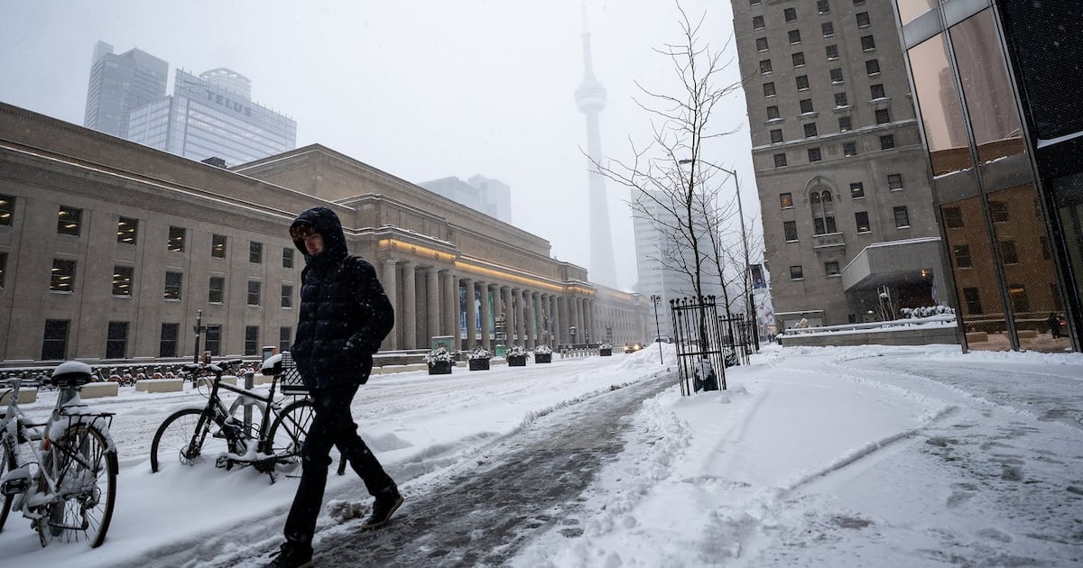
Toronto isn’t just cold, it’s stuck in a deep freeze, with experts warning the city is locked into an Arctic pattern that’s proving unusually hard to shake.
Officials say that while Toronto has experienced temperatures this cold before, what makes this stretch stand out is its prolonged duration.
Meteorologists from Environment Canada tell CTV News that the city has not seen such a long run of sub-zero days in more than a decade, with a stalled Arctic air mass continuing to trap cold air and delay the return of normal seasonal conditions.
What to expect this weekend
According to the national weather agency, Saturday’s forecast calls for a mix of sun and cloud, with winds at 20 km/h near noon.
The high is expected to reach -11 C, but wind chills will make it feel closer to -26 in the morning and -19 in the afternoon. Temperatures will drop to -16 C by the evening.
‘You gotta keep your spirits up’: Torontonians on how they are faring in the cold, lingering snow Sean Leathong speaks with some Torontonians on how they are faring with the extreme cold as much of the snow from a historic snowstorm lingers.
Sunday is expected to be sunny, with a high of -6 C. Overnight temperatures will fall again, with a low of -13 C under clear skies.
The national weather agency has issued a cold warning for Toronto, cautioning that wind chills between -25 and -30 can cause frostbite within minutes on exposed skin.
Residents are being urged to cover up, limit time outdoors, and bring pets inside.
Why the cold is lingering
Meteorologists say the prolonged cold is being driven by a large Arctic air mass often referred to as the “polar vortex” that has remained locked over the region.
While polar air outbreaks are common in winter, this one has been slow to move, due to atmospheric pressure patterns high above the surface.
Environment Canada Meteorologist Steven Flisfeder says a strong area of high pressure over the Atlantic Ocean has effectively blocked the Arctic air from shifting eastward, leaving it stalled over southern Ontario.
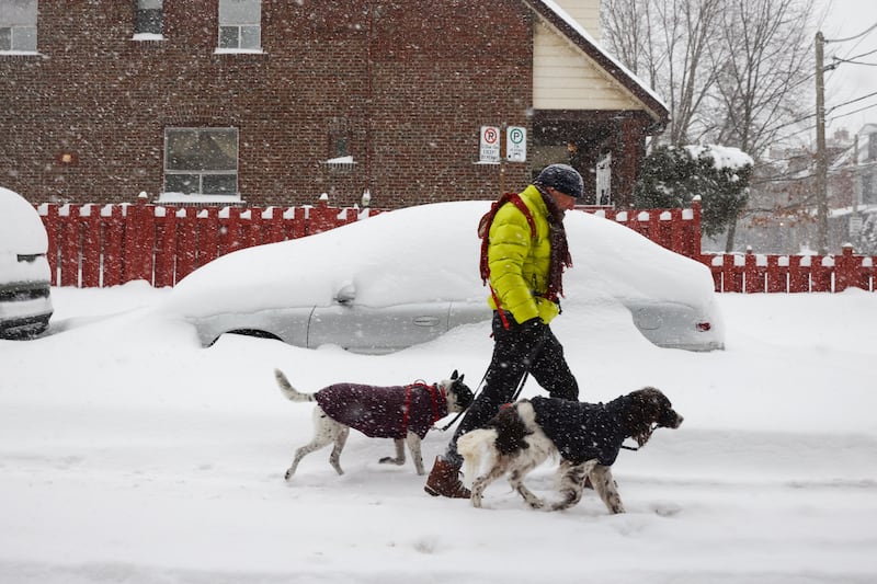 Torontonians say some side streets, sidewalks ‘worse than usual’ with snow lingering A person walks by a snow covered car in Toronto, as Environment Canada warns of peak snowfall rates of five to eight centimetres per hour as a winter storm moves through the region, Sunday, Jan. 25, 2026. THE CANADIAN PRESS/Cole Burston (Cole Burston/The Canadian Press)
Instead of moving along, the cold air mass has lingered, keeping daytime highs below zero and allowing wind chills to dip into dangerous territory when wind gusts pick up.
“The long duration is a little bit rarer for this kind of cold,” Flisfeder said. “In particular, having temperatures stay below zero… we haven’t had this long of a stretch in a little over 10 years”
Why wind chill matters
Flisfeder explains that while wind chill doesn’t affect roads, buildings, or infrastructure, it does have a significant impact on people and animals.
The measure reflects how quickly wind strips heat from the body, increasing the risk of frostbite and hypothermia. As wind speeds rise, exposed skin loses heat faster, making it feel far colder than the air temperature alone would suggest.
That’s why temperatures in the minus teens can feel closer to -30 this weekend when wind is factored in, and why Environment Canada uses wind chill as a public safety indicator during extreme cold events.
City response and what’s next
As the cold continues, the City of Toronto says it has expanded its emergency response.
Mayor Olivia Chow says the city has opened its eighth warming centre, adding 615 additional spaces during the cold snap. Outreach teams are operating 24 hours a day to help people come indoors.
“We have capacity in our warming centres and shelters,” Chow said. “If you need it, I just urge folks to come inside.”
Looking ahead, Environment Canada says temperatures are expected to moderate early next week, with daytime highs returning closer to seasonal norms — typically between -2 C and -5 C for this time of year.
However, forecasters warn the pattern could make a return later in February, raising the possibility of another prolonged stretch of below-normal temperatures before winter is over.