
The ground is saturated and not able to take on the rainfall expected to continue on Wednesday in the region.
Rivers were already high across the watershed from a rapid snowmelt followed by sizable rain showers last week, which created flooding in Waterloo Region. The weather authority called for as much as 40 mm of precipitation, with areas directly affected by thunderstorms potentially receiving more.
Waterways in the municipality are bursting at the banks, spilling into areas like parks.
Here’s a collection of images showcasing the flooding in the region on March 11.
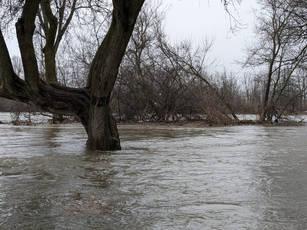
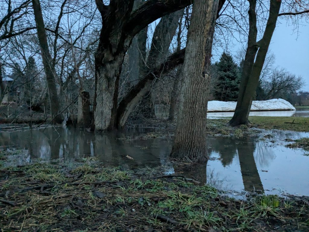
 Schneider Park, on the banks of the Grand River, is flooded closest to the waterway. (Josh Piercey/ CityNews)
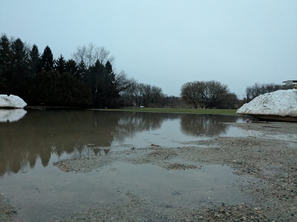
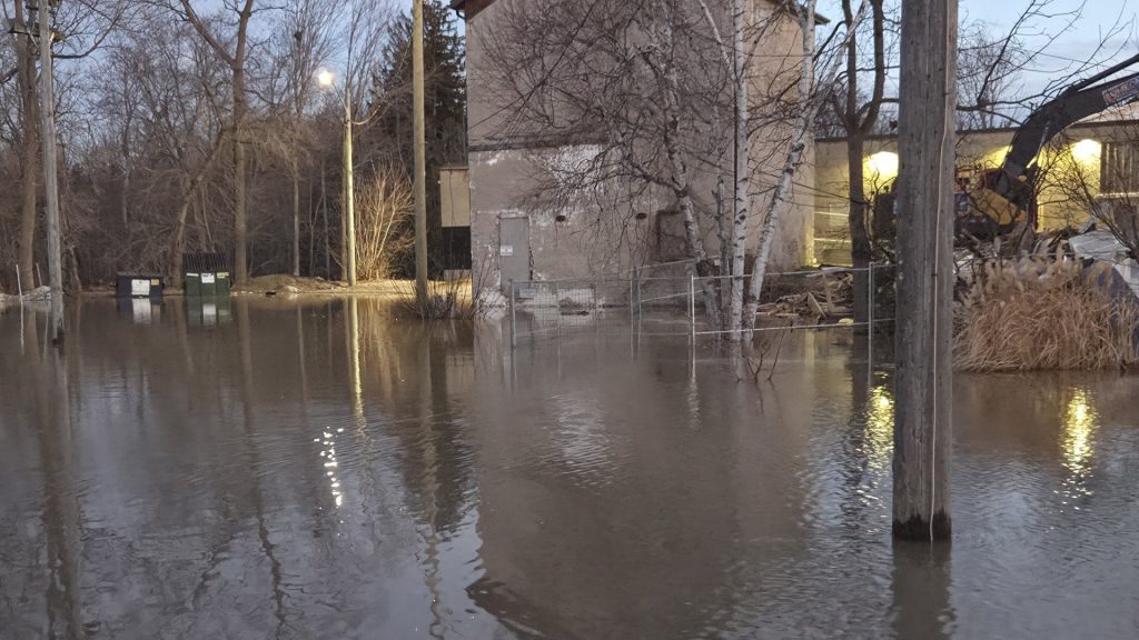
 (Josh Piercey/ CityNews)
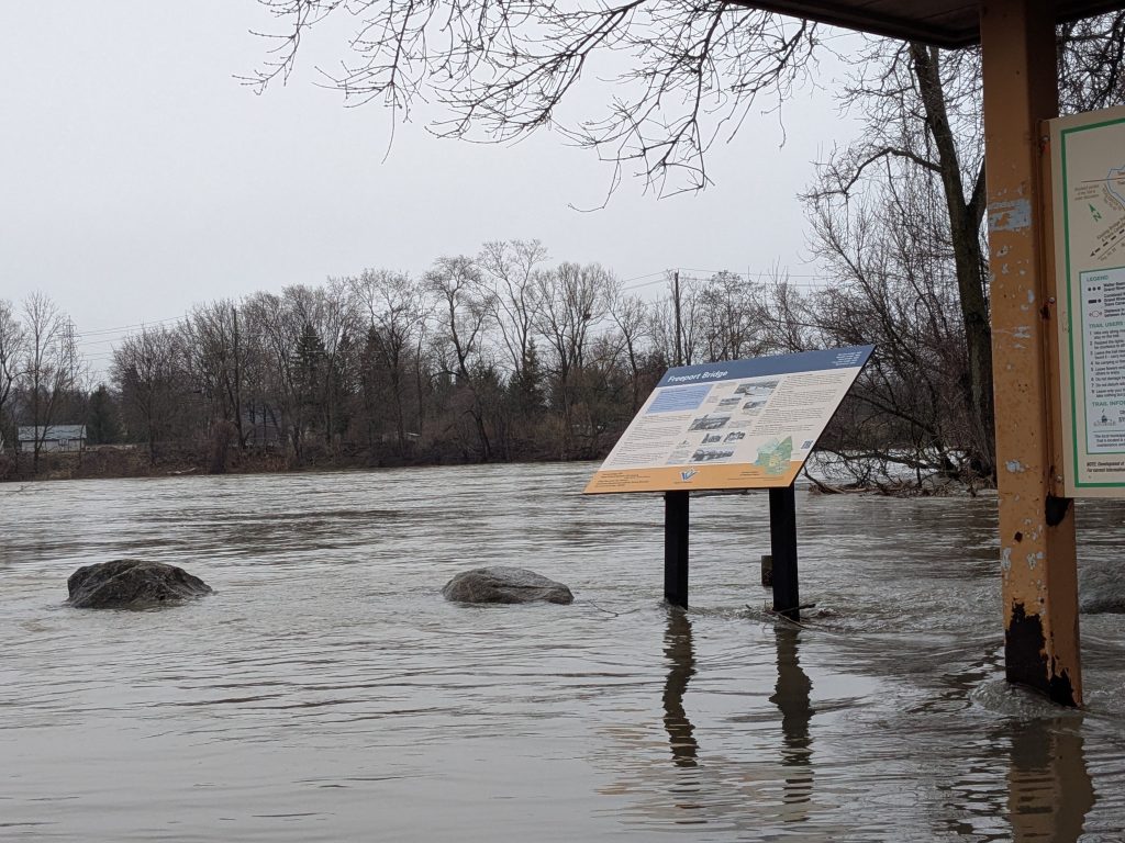
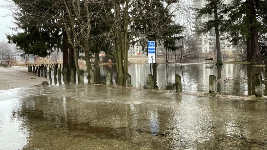
 Fields and pathways are underwater as the river pushes downstream. (Josh Piercey/ CityNews)
 (Josh Piercey/ CityNews)
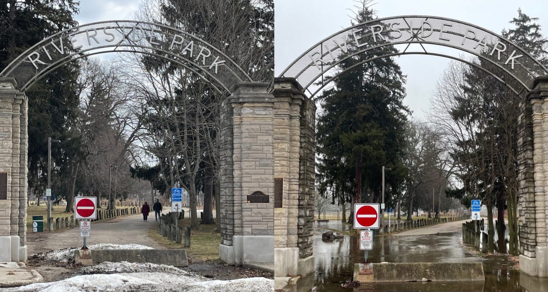
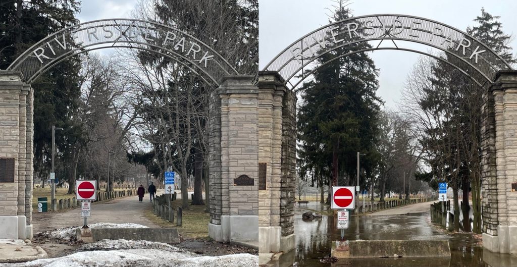 (Left) A day ago (March 10) people were taking strolls through Riverside Park in Cambridge; now (March 11) it’s blocked off by water. (Mark Douglas/ CityNews)
 (Mark Douglas/ CityNews)
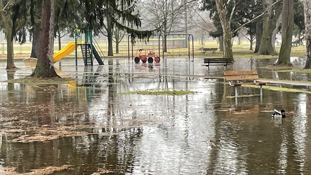 Ducks and geese are enjoying the playground as water climbs up the structure. (Mark Douglas/ CityNews)
 Ayr’s Tannery Street, one of the roadways impacted by local flooding. (Justin Koehler, 570 NewsRadio)