
Potential troop movements suggests Washington is weighing its optionspublished at 05:28 GMT
05:28 GMT
 Paul Adams
Diplomatic correspondent
It’s being widely reported in US media that the American military is sending additional forces to the Gulf, including what’s known as an amphibious ready group (ARG), with up to 5,000 Marines and sailors.
The amphibious assault ship USS Tripoli will join the substantial armada already operating off the coast of Iran.
It’s not clear which other vessels will accompany the Tripoli, but an ARG typically includes ships capable of carrying landing craft, as well as large numbers of helicopters.
The latest deployments suggest the Pentagon is considering an expanded range of options. These could include protecting commercial shipping in the Strait of Hormuz and conceivably some kind of limited amphibious landing.
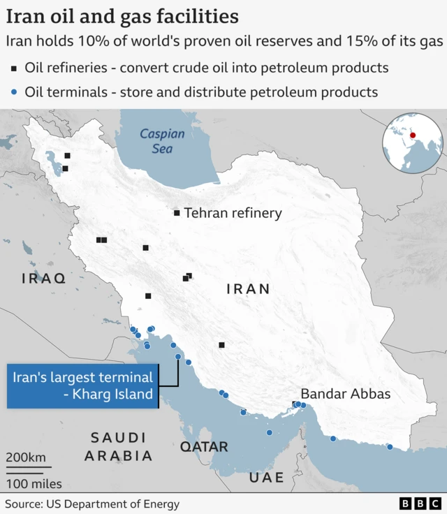
One possible objective is Iran’s tiny Kharg Island, in the northern Gulf.
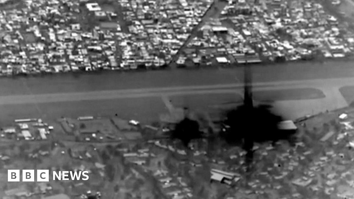
Lying 22 miles off the Iranian mainland, Kharg is a vital oil hub, where tankers have been seen filling up with Iranian oil since the war began two weeks ago.