
CHICAGO — The city will see a cold, snowy return to winter weather this week — but warmer weather will be back within a matter of days.
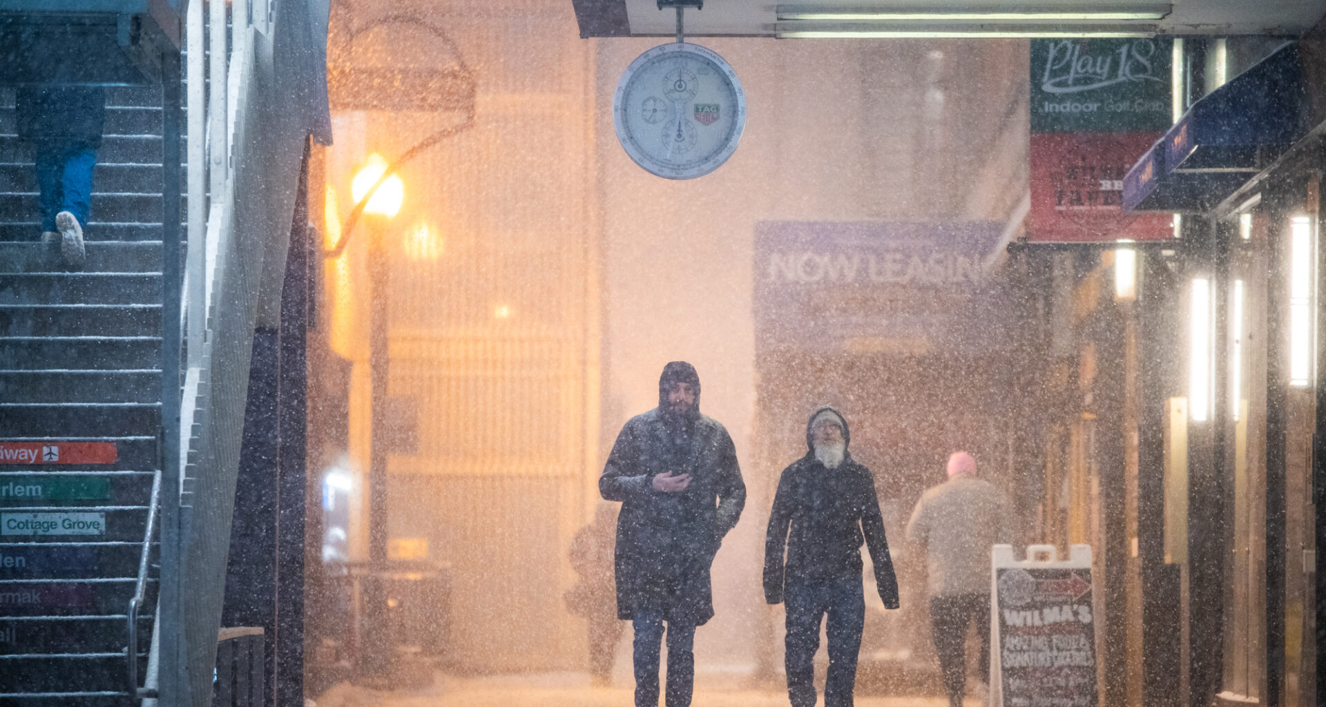
Monday morning’s snowfall should continue until about 4 p.m., with up to 2 inches of accumulation possible in Chicago, according to a winter weather advisory from the National Weather Service. The day will be cold, with a high temperature of 25, and wind gusts could hit 45 mph.
Those conditions will make travel hazardous, with low visibility, snow-covered roads and icy surfaces in some areas, according to the National Weather Service. Wind gusts could knock down tree branches, as well.
The agency recommended people delay travel if possible, keep distance from other drivers and travel at “safe speeds.”
Air travel has seen issues, too, with 384 flights canceled and 233 delayed at O’Hare within the past 24 hours, according to the city’s Department of Aviation. At Midway, 23 flights have been canceled and 115 delayed in the past 24 hours.
The winter weather advisory will end about 1 p.m. Monday.
Tuesday will see sunnier skies, but it’s only expected to get as warm as 26 degrees and it could feel like 1 below zero, according to the National Weather Service. There will be wind gusts up to 20 mph.
Wednesday will see Chicago starting to warm up, as the city could hit 42 degrees. Thursday is expected to top out at nearly 50 degrees, and Friday will be mostly cloudy — but could get as warm as 54 degrees.
Listen to the Block Club Chicago podcast: