
Black ice threat exists. The rapid cooling behind the cold front will quickly drop temperatures, especially on bridges where the road surface cools more quickly. The precipitation on late Monday could leave the pavement wet before freezing.
Wind chills will be into the negative teens by Tuesday morning all across southern and eastern Ontario, dipping into the -20s in the snowbelts.
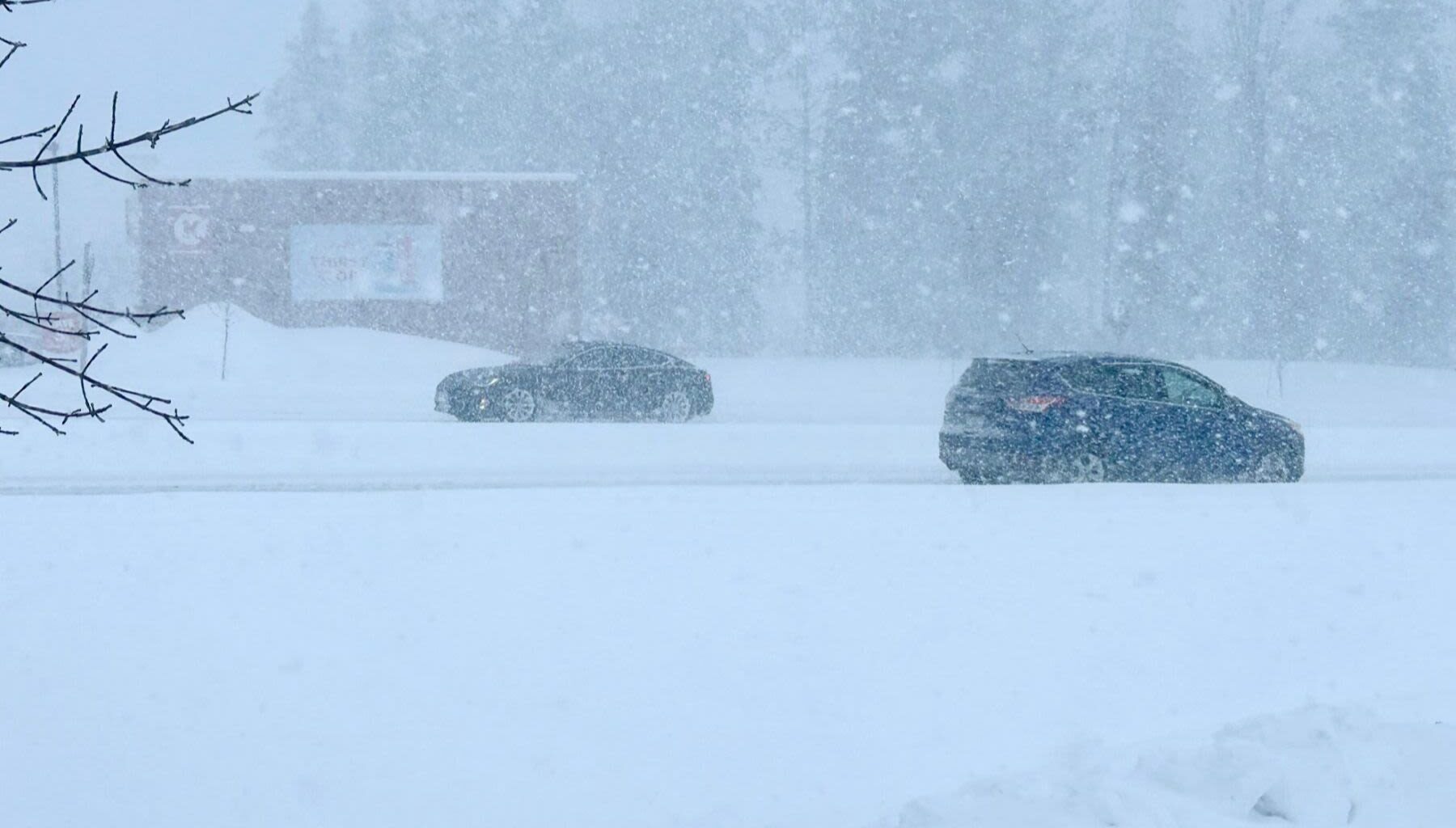
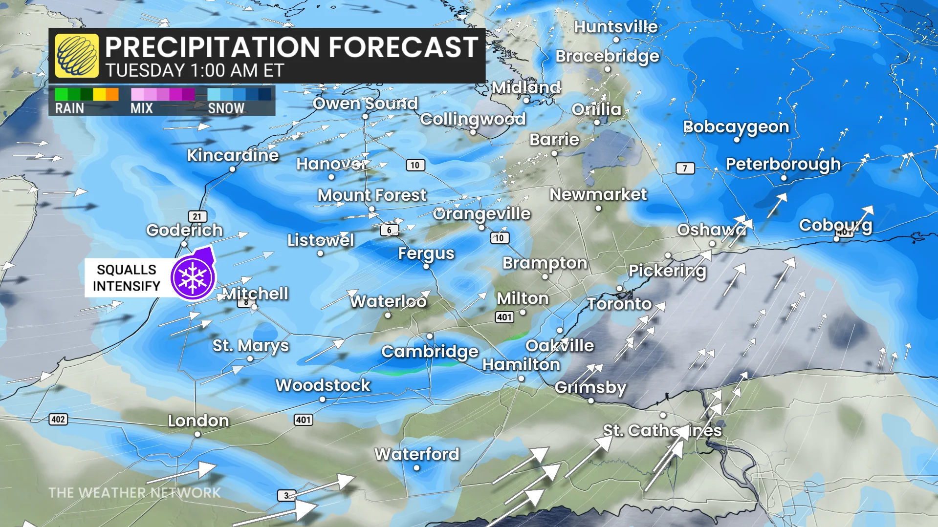
Evening commutes could be impacted by bursts of heavy snow.
WATCH: Ontario Weather Whiplash: Snow and strong winds to follow mild morning
Lake-effect becomes more organized and concentrated through Monday overnight, lingering well into Tuesday in the traditional, downwind snowbelts off Lake Huron and Georgian Bay.
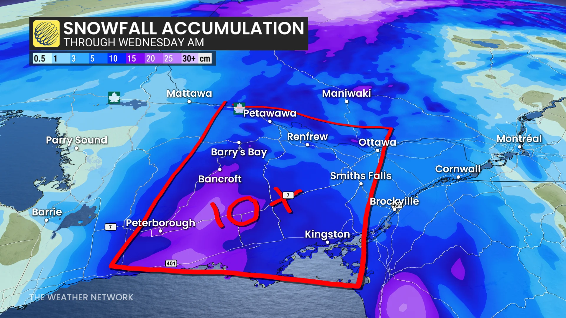
Localized accumulations of 10-25 cm possible in the snowbelt regions under an orange-coded snowsquall watch.
Strong winds of 60-80+ km/h across southern Ontario, including the GTA, Niagara, Kingston, and Cornwall may contribute to reduced visibility and difficult travel, potentially resulting in road or school closures on Tuesday.