
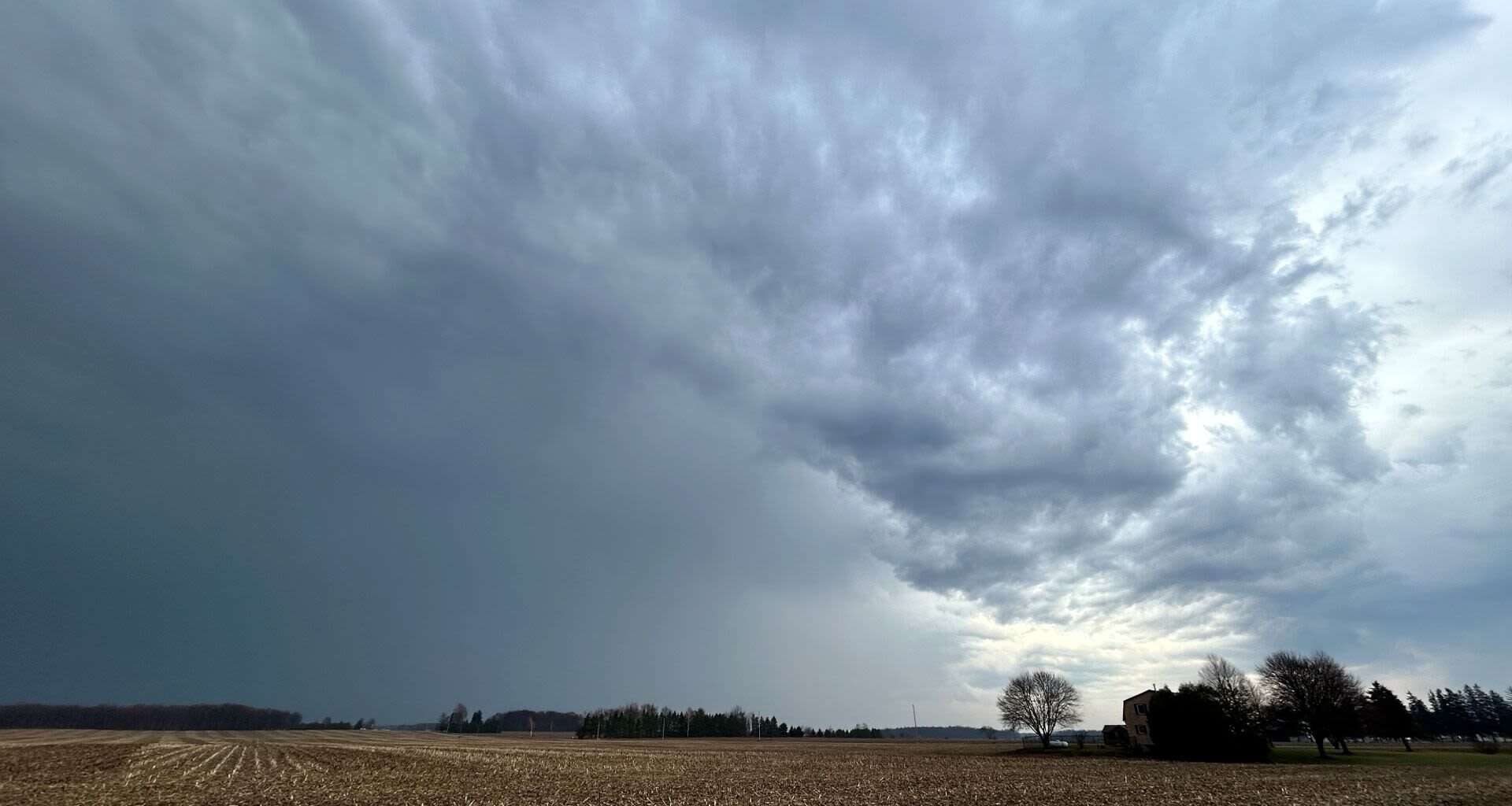
 Snow and freezing rain expected for northern Ontario on Tuesday
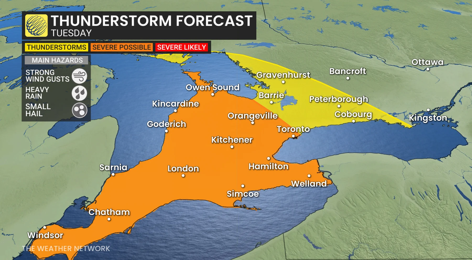
Meanwhile, a band of snow will move across parts of northern Ontario, including Thunder Bay and areas east of Lake Superior through Tuesday. Snowfall may vary in intensity throughout the day as waves of precipitation accompany an incoming system. Heavier snow is expected Tuesday afternoon, particularly along the shores of Lake Superior.
Snowfall accumulations of 5–15 cm are forecast for regions north and east of Lake Superior.
DON’T MISS: A typical April’s weather across Canada is one wild ride
Further south, communities northeast of Georgian Bay, including the Nickel Belt, may see periods of freezing rain and ice pellets beginning Tuesday morning. While precipitation is expected to remain light early on, there may be minimal ice buildup.
By Tuesday evening, freezing rain and ice pellets could intensify. However, there is some uncertainty about the system’s track, which could shift the areas facing the greatest risk of freezing rain farther north or south.
More stormy weather to come late week across Ontario with mixed precipitation
Ontario will encounter two additional rounds of stormy weather later this week, featuring multiple precipitation types and fluctuating temperatures.
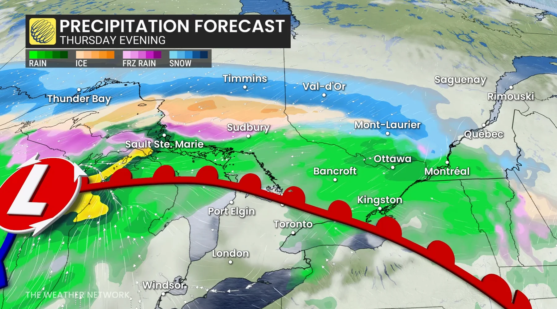
The first system is set to arrive Thursday, bringing snow and ice to northern regions and rain to southern areas. A third system is forecast to move in on Saturday, following a similar path with another mix of precipitation types.