
Published on Jun. 18, 2026, 11:25 AM
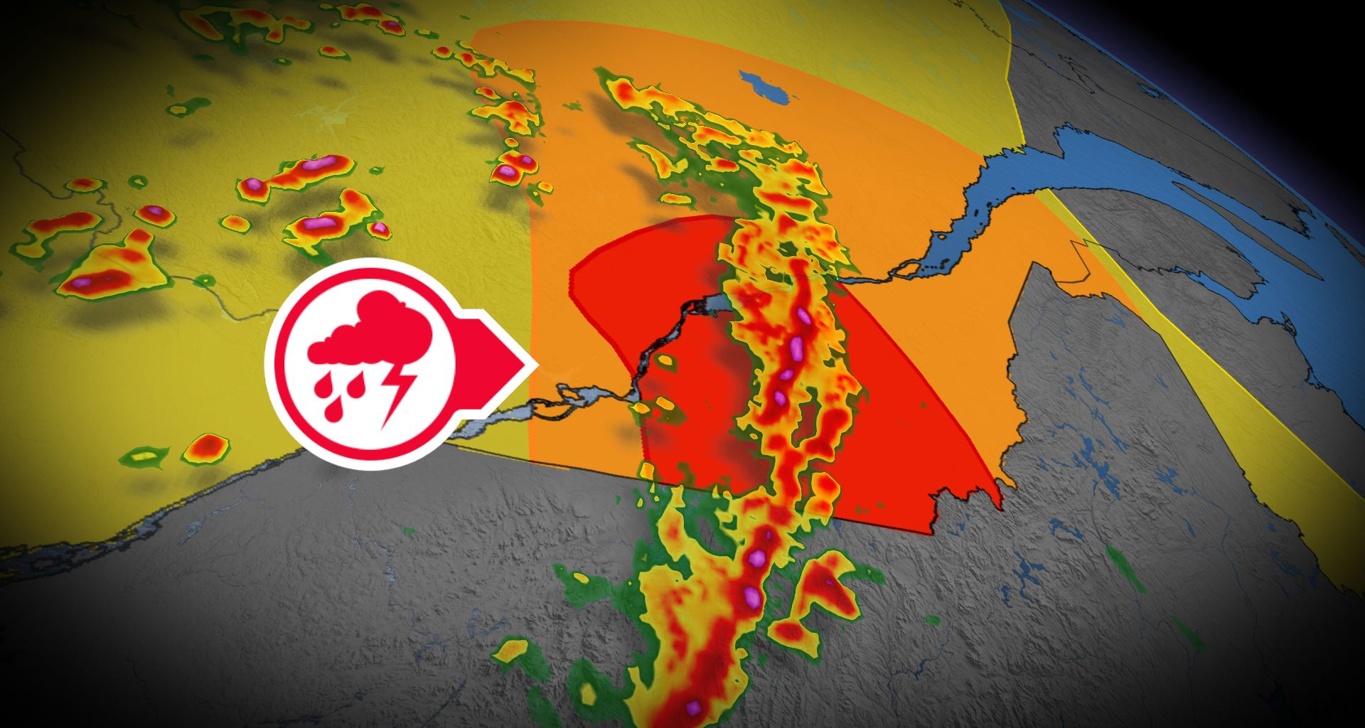
A significant weather system is bringing a severe thunderstorm risk to parts of eastern Ontario and southern Quebec through Thursday
A dynamic weather system is set to bring severe thunderstorms and significant rainfall to parts of eastern Ontario and southern Quebec on Thursday. Rainfall warnings are currently in place, with localized areas potentially receiving 50+ mm of rain, which may lead to localized flooding.
Residents are advised to stay alert for severe weather watches and warnings, as a strong line of storms may form along the Quebec and U.S. international border, increasing the threat for an isolated tornado. In case of a tornado warning, click here for safety tips.
RELATED: How severe weather alerts are issued, and potentially save lives
Thursday: Abundant moisture threatens localized flooding
Warm frontal showers are expected to move into Quebec early Thursday morning, paving the way for a very active weather pattern.
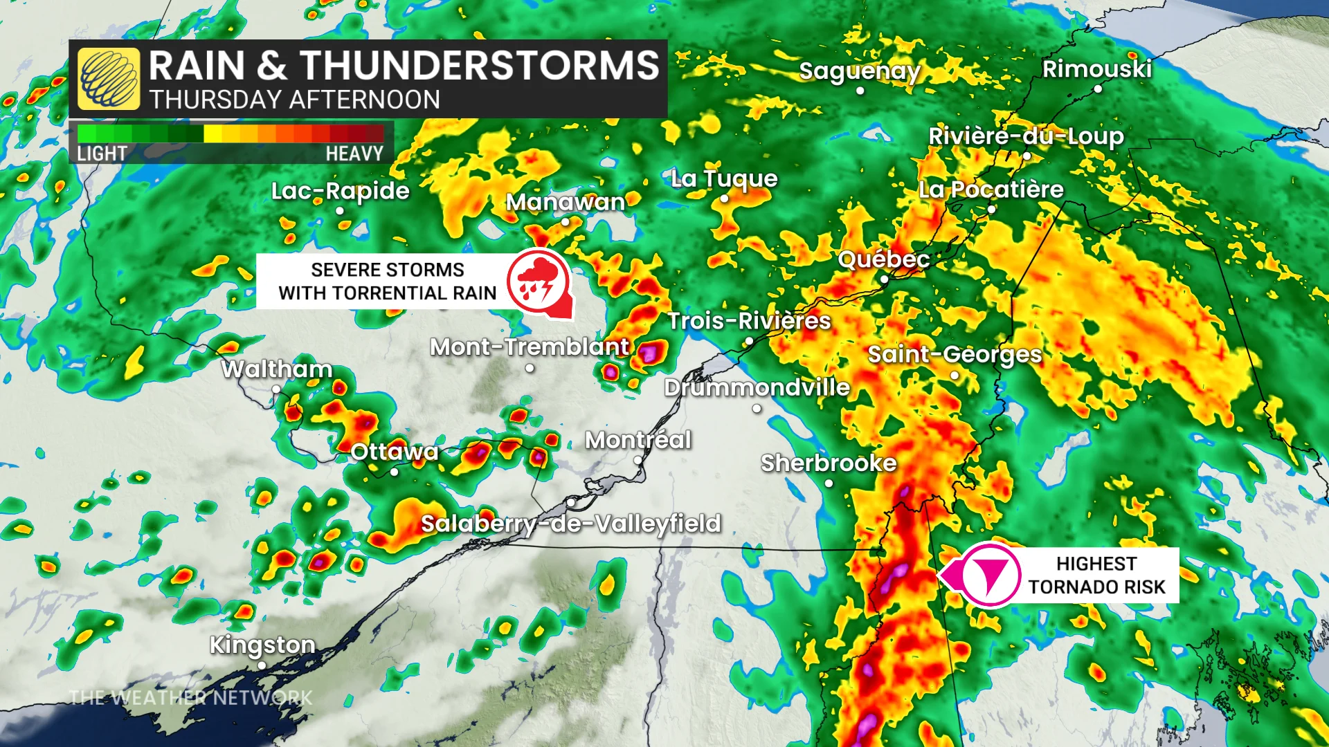
Elevated atmospheric moisture and wind shear will enhance the potential for severe weather.
Powerful winds, isolated tornado risk
As a cold front approaches in the early afternoon, a strong line of storms may develop along the Quebec-U.S. border.
SEE ALSO: Tornado and downbursts confirmed as severe weather hits Ontario
DON’T MISS: Visit our complete guide to Summer 2026 for an in-depth look at the Summer Forecast, tips to plan for it and much more!
Embedded rotation in these storms could generate an isolated tornado, particularly in the Eastern Townships.