

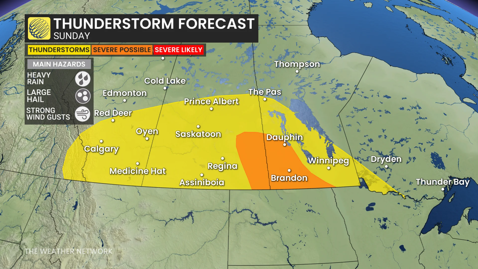
The more severe storms are expected to pop up around 5 p.m. CT along the southern Saskatchewan-Manitoba border, as well as southern Saskatchewan.
The jet stream will bring a greater, upper-level support to Sunday and Monday’s thunderstorms. Gulf moisture continues to support elevated rainfall totals.
The tornado threat is not notable, unlike Saturday and Monday.
Monday storm threat shifts into northwestern Ontario, rotating storms possible in Manitoba
Monday’s risk for severe weather will shift east into northwestern Ontario, where models suggest we could see high to extreme levels of thunderstorm energy. If it plays out as models suggest, this setup could produce damaging winds, large hail, and even rotating storms.
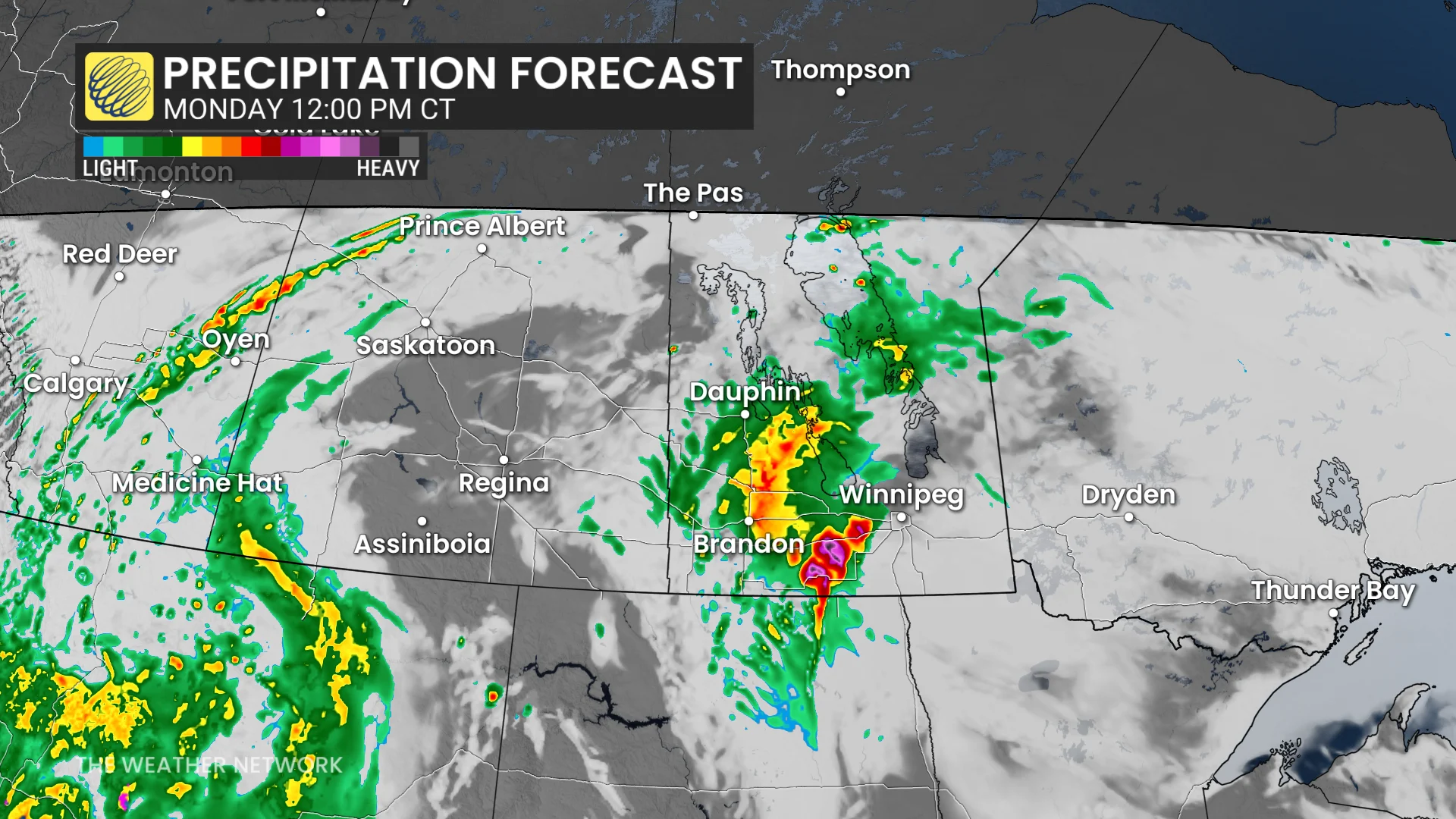
Meanwhile, lingering severe thunderstorms remain possible over portions of Manitoba. The corridor of greatest severe potential is near Winnipeg, where there is potential for rotation.
The jet stream will strengthen over the area, providing stronger, upper-level support for the development of thunderstorms through Monday afternoon and evening.