
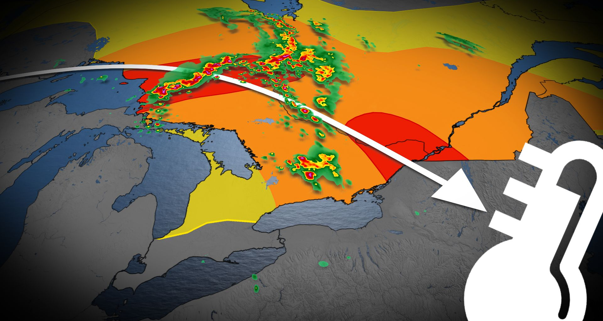
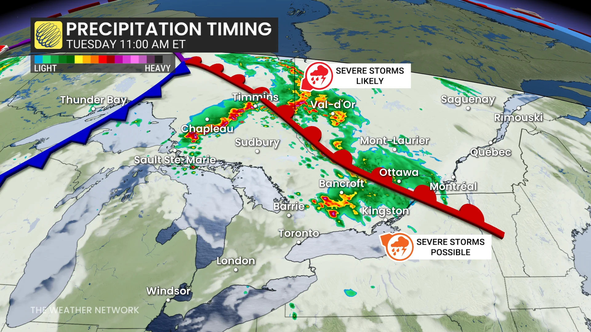
Meanwhile, ahead of the MCS, a separate cluster of storms may move across cottage country and east of the Greater Toronto Area (GTA).
Locally heavy rain and large hail is possible.
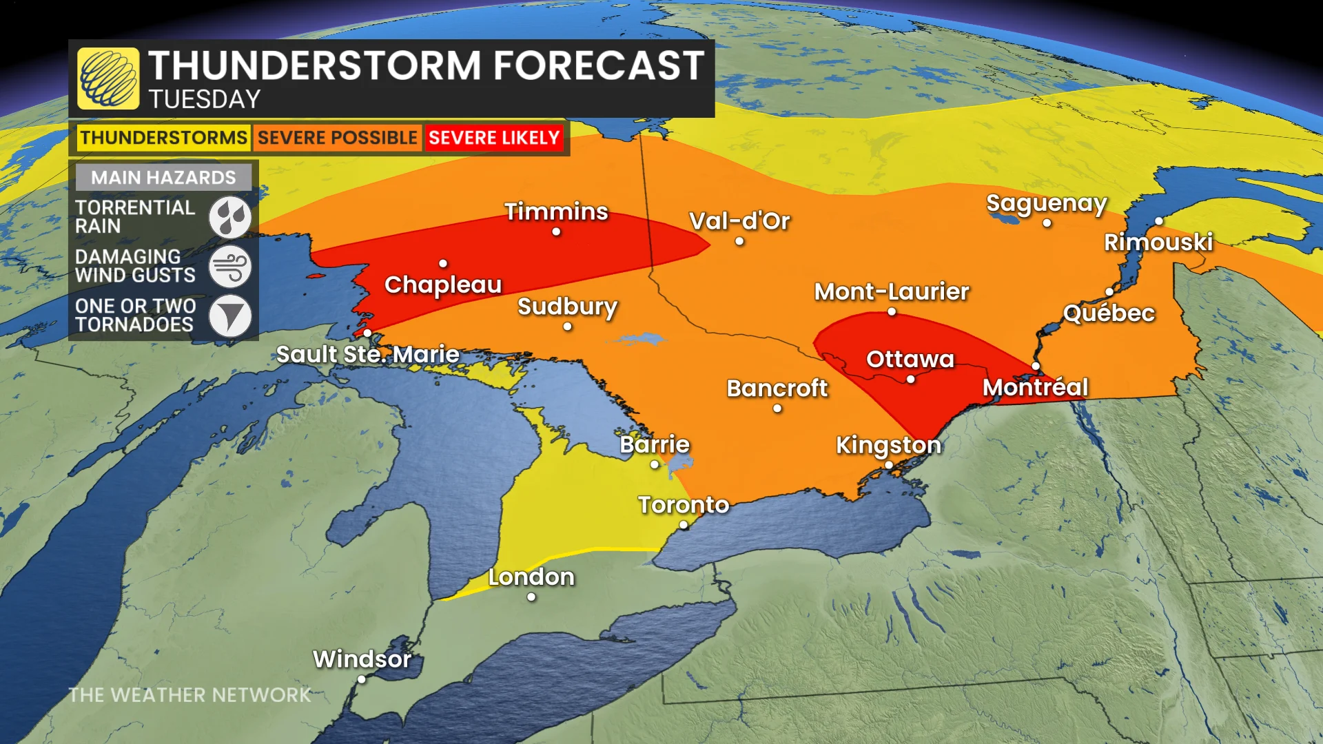
In the early afternoon on Tuesday, MCS storms lift towards Sudbury, Ont., to Val-d’Or, Que. There will be a chance for them to weaken slightly.
By the late afternoon, a severe environment peaks over eastern Ontario and southern Quebec, including Cornwall, Ottawa-Gatineau and Montreal. The strong MCS line of storms track in from approximately 3 p.m. to 5 p.m. EDT.
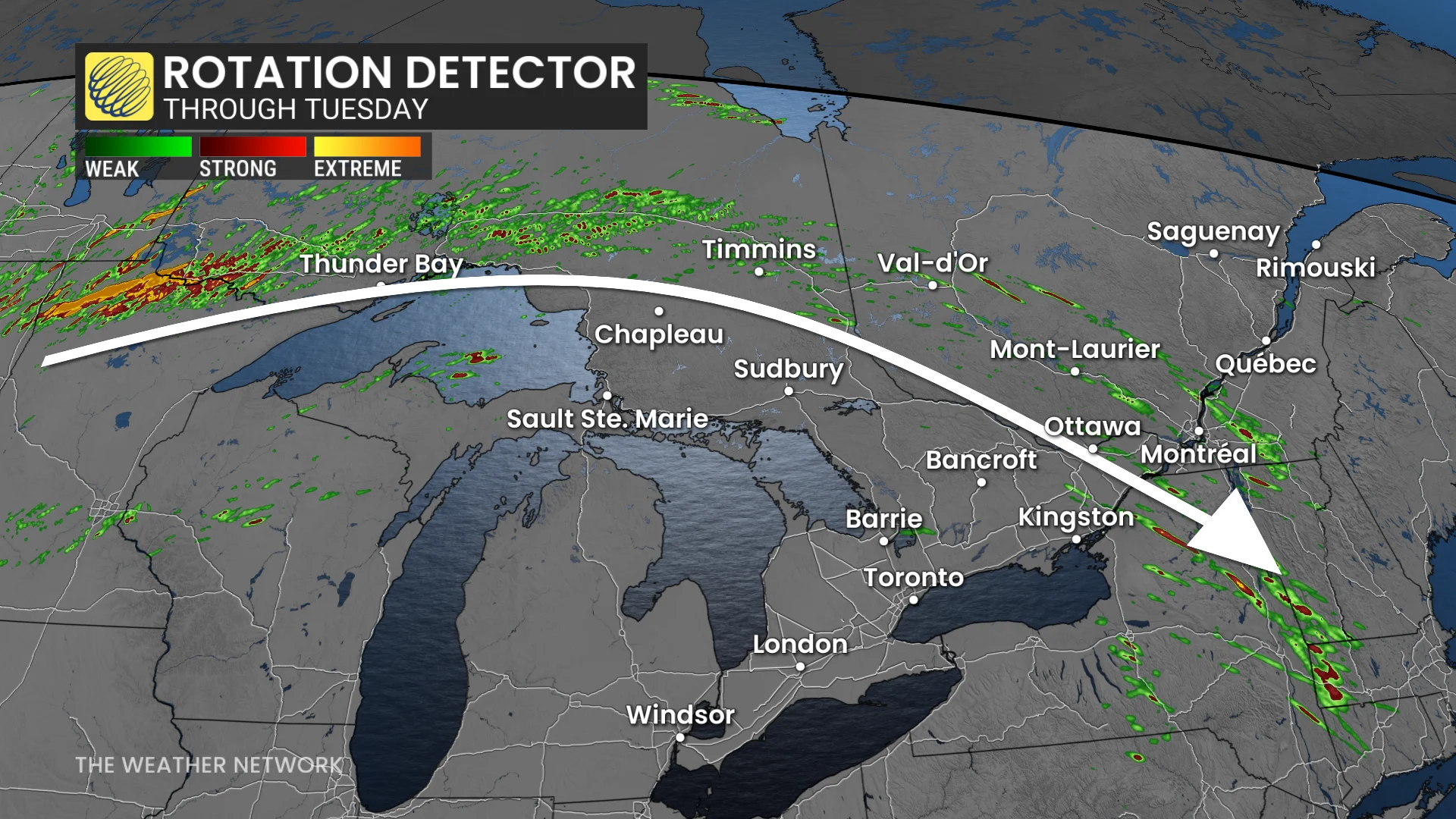
Damaging winds to about 110 km/h, large hail, and a tornado or two cannot be ruled out.
Tuesday evening, a new cluster of storms develop near Sault Ste. Marie, and may track into southern Ontario by early morning Wednesday.