
Published on Jul. 5, 2026, 1:18 PM
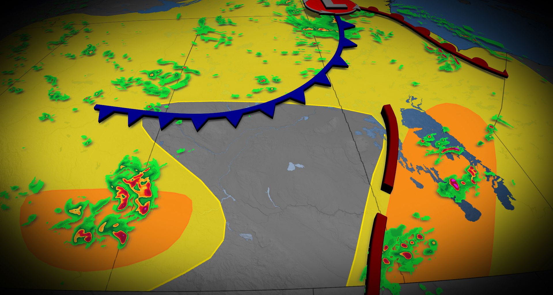
The stormy pattern on the Prairies stays put on Sunday, with a severe weather risk encompassing portions of Alberta and Manitoba. There will be a potential for large hail, heavy rain and strong wind gusts in locales such as Calgary, Medicine Hat and Brandon.
The Prairies are bracing for a reignited setup for severe weather potential on Sunday after tornado-warned storms hit parts of Alberta and Saskatchewan, a pattern that’s been ongoing in recent days.
Stay aware of severe weather watches and warnings in your area, especially if you have outdoor plans.
DON’T MISS: Ready or not, Canada expecting high-impact weather to finish June
More severe weather expected Sunday and into Monday morning
Moisture continues to meander across the Prairies, providing plenty of fuel for another active day of thunderstorms on Sunday.
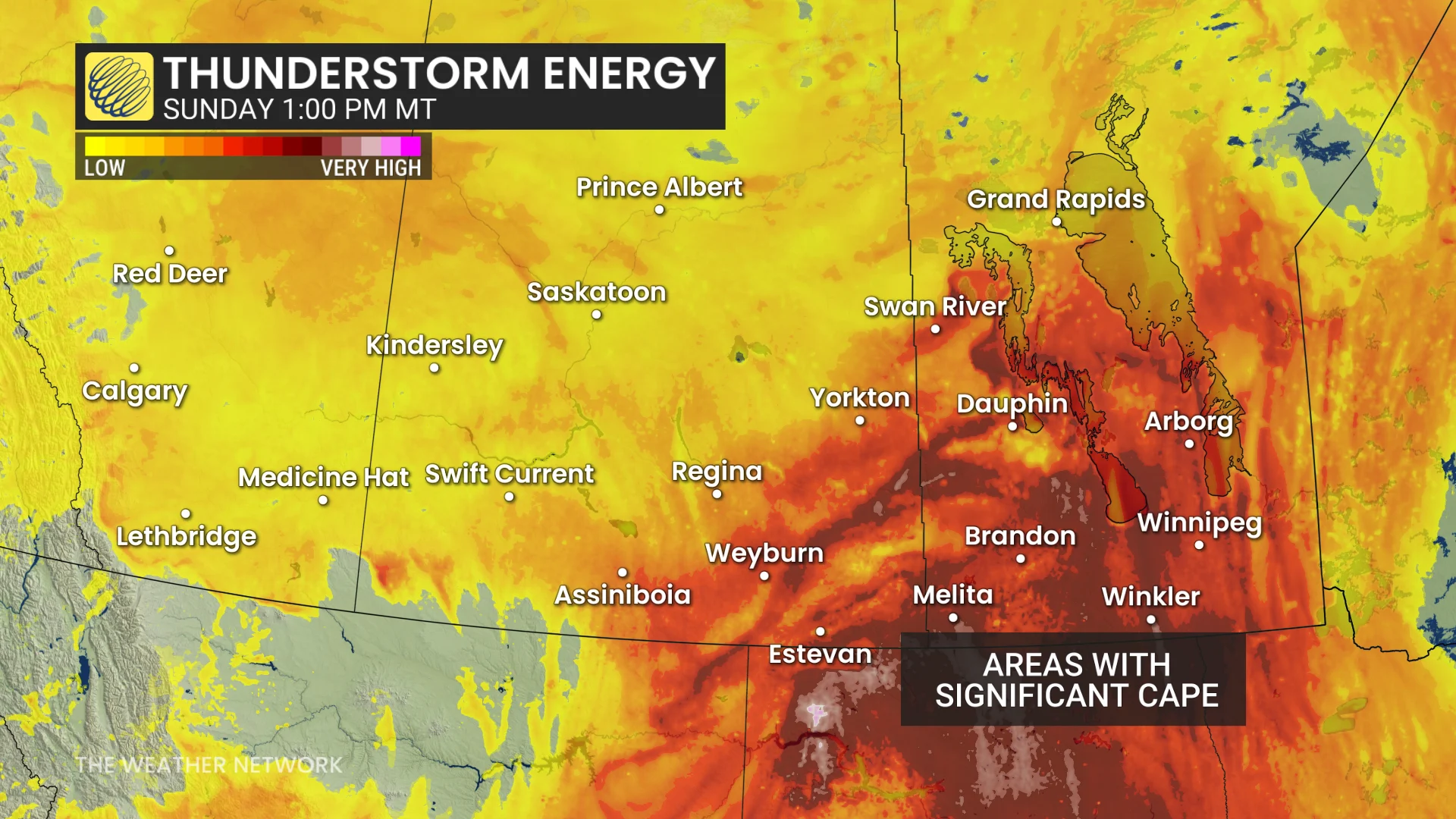
Warm, humid air, combined with upper-level support, will create favourable conditions for severe weather across portions of the Prairies. The greatest threat will be focused on Alberta and Manitoba.
The greatest severe thunderstorm risk will develop across southern Alberta and southern Manitoba through the afternoon and evening.
Thunderstorms are expected to begin developing mid-to-late afternoon (around 4 p.m. MT) across portions of Alberta, alongside a cold front associated with a low-pressure system draped across the Prairies.