

The tropical storm has already resulted in the deaths of nine people in Cape Verde
15:41, 17 Aug 2025Updated 15:43, 17 Aug 2025
 The summer sun could be leaving in the coming weeks(Image: Getty Images)
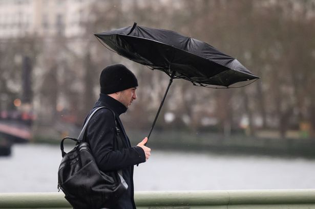
The Met Office have provided a Storm Erin update as the nation prepares to be battered by strong winds and rain after the ongoing heatwave concludes.
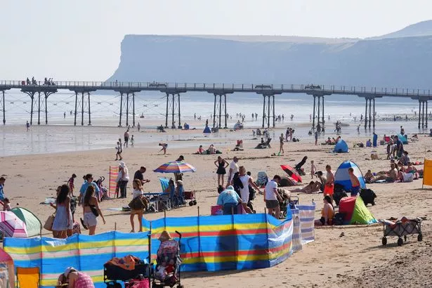
It was a gorgeous week of weather for the nation, with the public racing to their nearest beach to make the most of the conditions.
In Manchester, Sunday (August 17) saw temperatures resting at 25C, in a week where it hit 30C in the city centre on Wednesday (August 13).
Tuesday (August 12) marked the peak of the heatwave, with highs of 33.4C recorded in the capital city of London.
While it became cooler as the week went on across the country, the south-west of England experienced peaks of 30C on Saturday (August 16).
The coming week will remain warm in Manchester, with no day’s average temperature expected to fall under 20C.
However, things are going to change down south in the not-too-distant future ahead of Storm Erin’s impending arrival.
 It’s been a week of sunshine across the nation(Image: PA)
Authorities had to declare a state of emergency on the São Vicente and Santo Antão islands in Cape Verde, off the west coast of Africa, after the storm battered the island.
With around 1,500 reportedly forced to evacuate their homes amid the brutal conditions, nine people lost their lives.
People are being warned by the National Hurricane Centre that Storm Erin is expected to reach the Leeward Islands, Bermuda or the east coast of the US.
According to the Met Office, Storm Erin is likely to affect weather the UK in the latter part of the month, bringing intense winds and heavy rain.
Analysing the long-range forecast between Tuesday, August 19, and Thursday, August 28, a Met Office spokesperson said: “The details during this period carry low confidence. High pressure will probably be increasingly displaced to the north through the first part of this period, allowing areas of low pressure to potentially make inroads from the Atlantic.
“This brings an increasing possibility of stronger winds and rain, some of which could be heavy and thundery, especially for southern and western areas, but this perhaps becoming more widespread with time.
“Overall, temperatures look to remain above average, with the potential for some further hot spells, especially in the south. One of the determining factors of the forecast through this period will be the behaviour of what is currently Tropical Storm Erin as it progresses into the North Atlantic; this being a quite typical source of uncertainty in late summer.”
They added: “Beyond Monday, the forecast becomes more uncertain, largely due to developments in the Atlantic. Tropical storm Erin is currently moving towards the United States, and its eventual path could influence UK weather.
“It’s not uncommon for tropical systems at this time of year to be picked up by the jet stream. Recent examples include Storm Floris and ex-tropical storm Dexter. The impact on the UK depends on where these systems sit relative to the jet stream, on the cooler, low-pressure side.
“They can bring wet and windy weather; on the warmer, high-pressure side, they may remain offshore and contribute to warmer conditions. Sometimes the jet stream flows in a relatively straight path, much like a fast-moving river.
“At other times, it meanders and loops, slowing down the movement of weather systems and making their paths less predictable. These meanders can lead to prolonged periods of wet or dry weather, depending on where the jet stream is positioned.”