
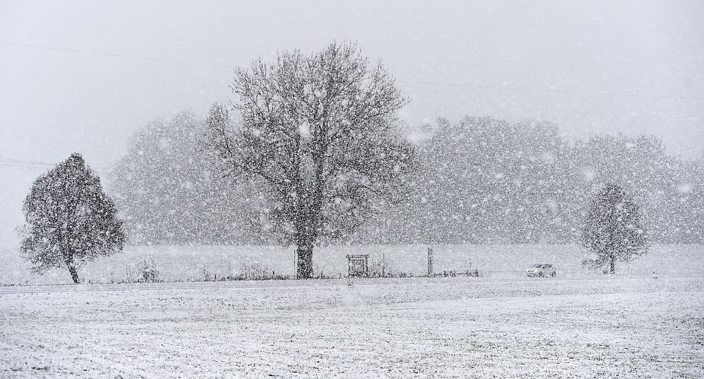
The Old Farmer’s Almanac has released its official Winter 2026–2027 forecast, warning that a strengthening Super El Niño could reshape weather patterns across the United States.
Ocean temperatures in the tropical Pacific are already surging, a signal known to disrupt the jet stream and drive major winter storms. Millions of Americans could face wetter conditions, heavy snow, icy mixes, or sudden cold snaps as shifting climate signals collide heading into the new season.
According to the Almanac, El Niño is “officially underway” and expected to intensify, joining other large‑scale climate patterns—from elevated solar activity to long‑term ocean cycles—that forecasters say will steer the upcoming winter.
Read More on Weather
What Does the Old Farmer’s Almanac Predict for the 2026–2027 Winter Season?
The Almanac’s winter outlook points to a season defined by sharp contrasts, with different regions experiencing dramatically different conditions. Forecasters expect an active southern storm track, delivering wetter‑than‑normal weather from Southern California across Texas, the Gulf Coast, and into the Southeast. These areas may see repeated storms, muddy fields, and episodes where cold air collides with moisture—producing sleet, freezing rain, or heavy, wet snow.
In the North, conditions look more volatile. The West, northern Plains, Upper Midwest, and Great Lakes should average near-normal temperatures overall, but forecasters warn that “near normal” does not mean calm. Fast‑moving clippers, sudden cold snaps, and bursts of bitter air are likely, punctuated by brief thaws.
Inland areas of the Northeast may face several rounds of heavy, wet snow, while coastal communities could see more rain or mixed precipitation as storm tracks wobble. Small shifts in temperature could flip a forecast from slushy snow to a significant winter storm.
Crystal Egger, an Emmy Award‑winning meteorologist and president of Monarch Weather Consulting, said it’s still too early to lock in regional outcomes, but the southern tier is already showing signs of elevated risk.
“California, the Southwest and southern U.S. are areas I’m watching closely because a strengthening El Niño can favor a more active storm track across the southern tier of the country,” she told Newsweek.
She added that parts of the southern Plains, Gulf Coast, and especially Florida could see increased risk of heavy precipitation and severe weather as the pattern evolves.
How Could Super El Niño Influence Winter?
El Niño is the clearest early signal shaping the upcoming winter—and this year’s event is strengthening fast. When the tropical Pacific warms, it alters the jet stream, the high‑altitude river of air that guides storms across North America. A stronger El Niño typically pushes the jet stream southward, energizing storms and funneling moisture into the southern United States.
A Super El Niño, marked by exceptionally warm Pacific waters, can amplify these effects. Wetter conditions become more likely across the southern tier, while northern states may experience more variable patterns—quick cold snaps, sudden snow squalls, and alternating periods of thaw and freeze.
Egger told Newswweek that a stronger El Niño “typically strengthens the subtropical jet, which can send more storms into the southern U.S.”
That shift can mean more opportunities for heavy rain and flooding, particularly across California, the Southwest, and the South. “Florida, in particular, has seen an increase in severe weather—including tornadoes—during El Niño winters,” she said.
She added that when these storm systems interact with pockets of colder air, they can produce significant winter weather, including snow and ice storms.
For businesses, she said, the stakes are high: “For energy and transportation, it’s really about the operational disruptions—flooding, mudslides, ice, travel delays, infrastructure impacts and rapid changes in demand.”
What Is the Polar Vortex and How It Could Influence Winter?
The polar vortex, a massive pool of cold Arctic air that typically stays locked near the North Pole, remains a wildcard. When a polar vortex’s circulation weakens or shifts, frigid air can spill southward, triggering outbreaks of extreme cold across parts of the U.S.
Forecasters are watching the Quasi‑Biennial Oscillation (QBO)—a pattern of high‑altitude winds near the equator—because changes in these winds can influence the polar vortex later in the season. If the vortex destabilizes, regions that otherwise expect near‑normal temperatures could see sudden plunges into bitter cold.
The Almanac notes that whether this happens “remains one of the many questions” still being monitored as winter approaches.
Egger said past El Niño winters show how unpredictable these interactions can be.
“The biggest problems often come from a combination of factors, not one individual storm. And no two El Niño events are created equal,” she said.
She emphasized that while strong El Niño winters have historically produced significant precipitation events, each season has its own atmospheric setup.
How Accurate Are the Old Farmer’s Almanac Predictions?
The Old Farmer’s Almanac claims an average accuracy rate of about 80 percent for long‑range weather predictions. Last winter, the publication reported an overall accuracy of 86.1 percent, including an 88.9 percent success rate in forecasting temperature trends and an 83.3 percent accuracy rate for precipitation departures.
Their forecast of snow for the Southeast proved correct when a rare January storm dropped up to nine inches of snow from Mobile to Pensacola, with New Orleans receiving eight inches.
The Almanac’s method blends a proprietary formula dating back to 1792 with modern meteorological tools. Forecasters compare solar activity, historical patterns, and long‑term climate signals to build seasonal outlooks. While independent reviews often find lower accuracy than the Almanac’s self‑reported numbers, the publication remains one of the longest‑running long‑range forecasting sources in North America.
Egger cautioned that the public often misunderstands what “Super El Niño” means. “It’s very likely that a strong El Niño will mean a less active Atlantic hurricane season, but less active does not necessarily mean less impact. It only takes one landfalling tropical storm or hurricane to have a major impact.”
She added that El Niño reshapes weather risk nationwide, influencing storm tracks, precipitation, and temperature patterns well beyond hurricane season.
Her advice for both businesses and households: “Don’t wait for the weather to become a crisis before figuring out what it means for your operations. The best way to prepare for uncertainty is to understand your risk before it becomes an impact.”
Contact Newsweek editors on this story: Kate Nalepinski and Sam Wilson.