

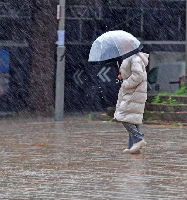
The Met Office says the storm’s eventual path could still influence British weather Heavy rain in Liverpool city centre(Image: LIVERPOOL ECHO/ Colin Lane)
The UK’s recent heatwave could soon give way to wind and rain as forecasters monitor developments in the Atlantic. While some reports suggest a storm may strike Britain, the Met Office has cautioned that forecasts remain uncertain.
The concern stems from Hurricane Erin, the first Atlantic hurricane of 2025, which weakened to a Category 3 system on Sunday after briefly reaching Category 5 strength over the weekend with winds of 160mph. By late Sunday morning, the storm’s maximum sustained winds had eased to 125mph, according to the US National Hurricane Centre in Miami.
Although Erin’s winds diminished, its overall size increased, with outer bands delivering heavy rain and tropical storm-force winds to Puerto Rico and the Virgin Islands.
Tropical storm warnings have been issued for the Turks and Caicos Islands, while the Bahamas remain under watch.
Erin is not expected to make landfall on the US east coast.
 Heavy rain in Liverpool city centre(Image: Colin Lane/Liverpool ECHO)
The Met Office says the storm’s eventual path could still influence British weather, depending on how it interacts with the jet stream -a fast-moving current of air that often steers Atlantic systems toward Europe.
A Met Office update explained: “Tropical systems at this time of year are sometimes picked up by the jet stream.
“On the low-pressure side, they can bring wet and windy conditions to the UK, but if they remain on the high-pressure side, they may stay offshore and contribute to warmer weather instead.”
Meteorologists note that the jet stream itself can behave unpredictably.
Sometimes it runs straight like a river and at other times it loops and wanders, which slows down weather systems and makes forecasting more difficult.
The position of the jet stream can also intensify storms, acting like a vacuum over low-pressure areas and deepening them further.
Past examples highlight this variability. Storm Floris was drawn into the UK’s low-pressure zone, bringing unsettled weather, while ex-tropical storm Dexter remained further west, instead pulling warm continental air toward Britain.
For now, the Met Office has not issued any weather warnings for the UK. In Liverpool, the week ahead is expected to remain mostly dry with sunny intervals and temperatures around 20°C.