
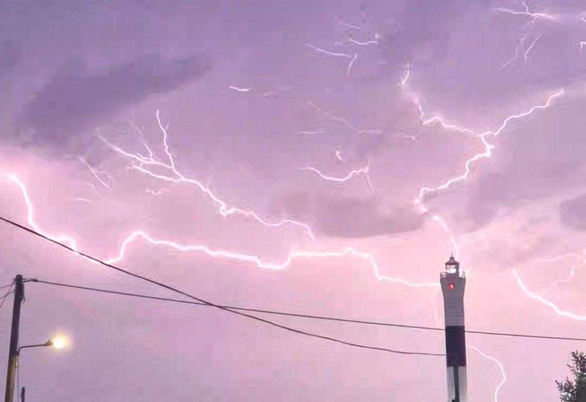
A thunderstorm warning has been issued covering all of Kent as forecasters predict up to 30mm of rain could fall within an hour.
The Met Office says flooding of homes and businesses “could happen quickly” as a yellow warning comes into force tomorrow (Thursday) from 2am until 8am.
 Forecasters have issued a yellow thunderstorm warning covering all of Kent. Picture: Met Office
Weather experts also say there could be damage to some buildings from lightning strikes, hail or strong winds, and some communities might be cut off if roads flood.
The alert says an area of thunderstorms and heavy rain will move north into south-east England later tonight (Wednesday) and into Thursday morning.
“Accumulations of 20 to 30mm in an hour are possible locally, while 30 to 40mm in six hours can be expected fairly widely,” it states.
“There is a small chance that some places may see more than 50mm in three hours.
“Lightning and hail of 1 to 2cm will also be hazards and, in a few places, strong gusts may also present a hazard.”
A thunderstorm warning has been issued covering all of Kent. Picture: Kate Ovenden
Forecasters have urged people to consider if their location is at risk of flash flooding and to consider preparing a flood plan and an emergency flood kit, if so.
They say checks should be made to ensure moveable objects or temporary structures are well secured to avoid injury or damage to property, such as bins, garden furniture, trampolines, tents, gazebos, sheds, and fences.
“Give yourself the best chance of avoiding delays by checking road conditions if driving, or bus and train timetables, amending your travel plans if necessary,” they added.
“People cope better with power cuts when they have prepared for them in advance. It’s easy to do; consider gathering torches and batteries, a mobile phone power pack and other essential items.
“If you find yourself outside and hear thunder, protect yourself by finding a safe enclosed shelter, such as a car. Do not shelter under or near trees, or other structures which may be struck by lightning. If you are on an elevated area, move to lower ground.”
The Met Office says flooding of homes and businesses “could happen quickly” as a yellow warning comes into force tomorrow from 2am until 8am. Picture: JD Jarvis
Last week, thunderstorms caused flooding across parts of the county following months of dry weather.
Grey clouds and heavy rainfall were pictured in different areas of Kent, with some describing how conditions caused the sky to get “darker than the solar eclipse”.
The wet weather comes after months of dry and hot conditions, during which a drought was officially declared in Kent earlier this month.
In July, the county only received 1% of the long-term average rainfall, and some river catchments are recording exceptionally low flows according to the Environment Agency.
At the time, water minister Emma Hardy MP said more support was being given to farmers, such as allowing them to build more on-site irrigation reservoirs.
Long-term solutions for future summers include reducing leaks and delivering nine new reservoirs and water transfer schemes to secure supplies across the country.
She added: “We know how challenging this summer has been, especially for our hard-working farmers who are at the sharp end of climate change and an increasing number of floods and droughts.”