
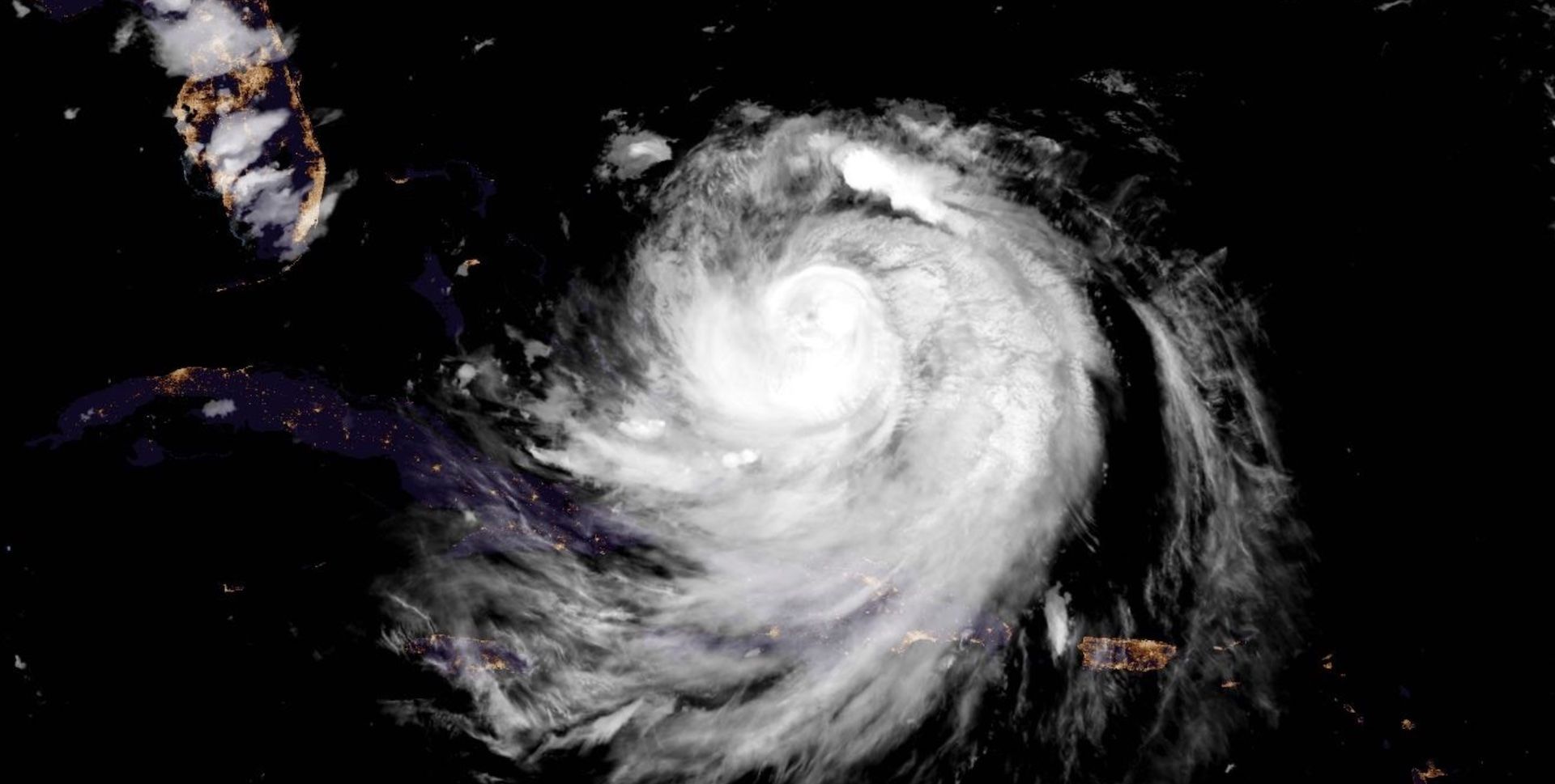
The hurricane’s outer bands are affecting islands in the southwestern Atlantic, prompting tropical storm warnings for the Turks and Caicos Islands, as well as the southeastern Bahamas.
Meanwhile, alerts have been issued for parts of North Carolina’s Outer Coast. A storm surge watch is in effect for Cape Lookout to Duck, N.C., and a tropical storm watch is in place for Beaufort Inlet to Duck, N.C., including Pamlico Sound.
Tropical storm conditions are possible over portions of the North Carolina Outer Banks beginning late Wednesday.
Additionally, flooding rains and gusty winds are occurring over portions of Hispaniola, and will do so through Tuesday for the Turks and Caicos, southeastern Bahamas, and the easternmost, central Bahamas. Localized flooding, along with landslides or mudslides, are possible.
Any hurricane recurving close to North America warrants close monitoring in Atlantic Canada.
Rip currents a major hazard
Regardless of Erin’s track, rough surf and rip currents will pose a significant hazard to beaches throughout The Bahamas, Bermuda, eastern U.S. and Atlantic Canada during the early and middle part of this week.