
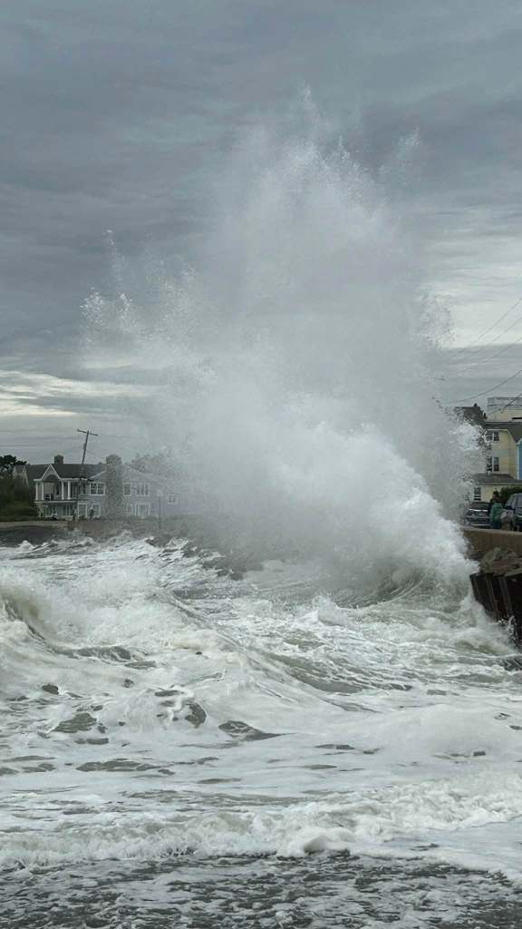
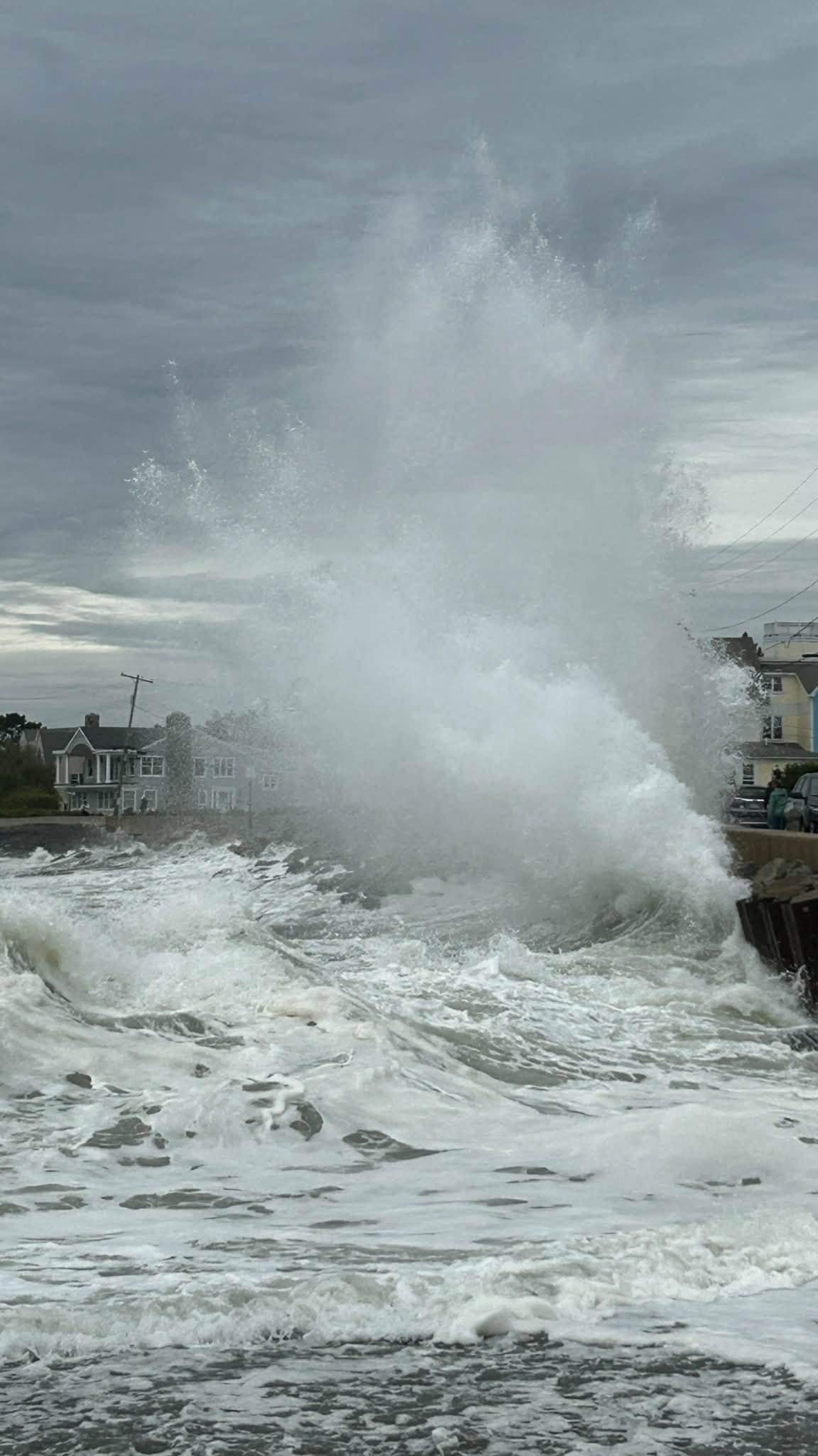
 A “sneaker wave” at Middle Beach in Kennebunk Saturday submerging a line of cars waiting in traffic on Beach Avenue. Jason Nappi, an independent meteorologist from that town, said one car appeared to have been dented and its windows shattered as a result of the storm. See more from Nappi here. (Courtesy of Jason Nappi).
The nor’easter moving north along the mid-Atlantic and southern New England coast this weekend is bringing hazardous beach conditions, rain and gusty winds to southern Maine.
Some scattered rains began early Saturday in southern New Hampshire, coastal Maine and a few inland Maine areas. That rain will become steadier into the evening and Sunday morning and remain moderate to heavy through Monday before the storm exits the region on Tuesday, said Zack Hargrove, a meteorologist at the National Weather Service’s office in Gray.
Hargrove expects 1-2 inches of rain for most of coastal and inland Maine through Monday, but he said some areas of southwest Maine in York County could see up to 4 inches.
“That’s where the rain hotspot will definitely be,” Hargrove said.
The strongest winds will blow by the coast, where coastal flood and high surf advisories remain in effect. Hargrove said the gusts will move at 25 to 35 miles per hour, with the strongest winds Saturday night into Sunday morning. A few gusts may travel at 40 miles per hour.
“We will have water piling up with that persistent northeast flow, so we will still have to keep our eye on it for sure,” Hargrove said.
High winds and waves have already made an impact.
Jason Nappi, an independent meteorologist, said he was monitoring the storm at beaches in Kennebunk this morning, where several tourists and surfers were also out observing. At Middle Beach, he witnessed two “sneaker waves” —unusually large coastal waves that surge much higher and farther than the waves before or after it.
He said one of the waves reached several feet past the beach’s seawall and momentarily submerged a line of cars waiting in traffic on Beach Avenue, shattering the glass windows of one car and soaked the inside. He said the car had been parked in the road and abandoned by the time he approached it, and that the wave had also appeared to dent the vehicle.
Nappi said officers from the Kennebunk Police Department showed up at the scene to investigate. Kennebunk Police Chief Robert MacKenzie did not respond immediately to request for more information about the incident.
“This storm is bordering on tropical storm or subtropical storm status right now,” Nappi said. “It’s a very powerful storm, and even though it’s not close to Maine, it still has a big impact.”
Central Maine Power has been tracking the storm and will staff additional crews at some service centers, according to a CMP press release on Friday. CMP crews cannot raise bucket truck arms when winds are greater than 30 mph, but they can help clear roads blocked by downed trees.