
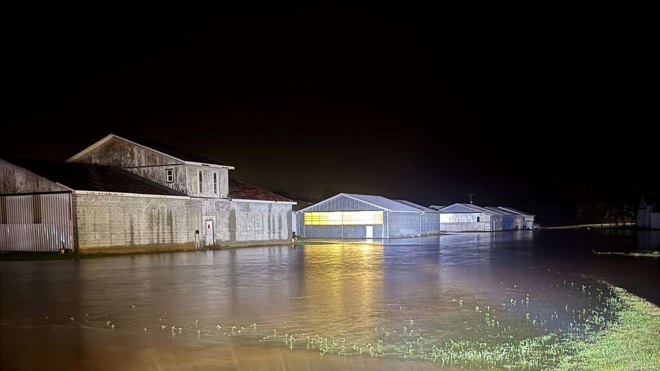
WLOS — The rainfall totals have been reported after the remnants of Isaias swept through western North Carolina from Oct. 10-11, and two areas in western North Carolina reported over 8 inches of rain.
Rainfall totals from Isaias: Parts of western North Carolina get over 8 inches. (WLOS)
Sugar Hill Fire Department in Marion had the highest total since Saturday, reporting 8.32 inches. There were reports of flooding and mudslides over the weekend in McDowell County.
Busick in Yancey County had the second-highest total, with 8.17 inches. Busick was one of the hardest hit areas in WNC by Helene in September 2024. According to data from the National Hurricane Center Tropical Cyclone Report, from Sept. 25-28, Busick recorded 30.78 inches of rain.
MCDOWELL COUNTY FIRE CREW ‘RESPONDED LIKE NORMAL’ TO 5 LANDSLIDES OVERNIGHT
Crooked Creek in Henderson County was third on News 13’s list with 7.88 inches of rain from remnants of Isaias, and Mount Mitchell was next with 7.53 inches. Ridgecrest reported 7.17 inches of rain since Oct. 10, and McDowell Emergency Operations Center reported 6.92 inches.
Lake Lure, another area heavily damaged by Helene, had 6.51 inches of rain, which prompted officials to open the dam’s tainter gates to three feet. This increased the amount of water flowing into the Broad River.
BAT CAVE RESIDENT EXPRESSES CONCERN AS BROAD RIVER LEVELS REMAIN ELEVATED
Hendersonville reported 6.38 inches of rain, and the Asheville Regional Airport reported 4.39 inches.
News 13’s weather forecast calls for temperatures to rise back into the low 80s for the rest of the week, with a warm, dry pattern. Rivers and streams are expected to fall back quickly to normal levels and flows.