
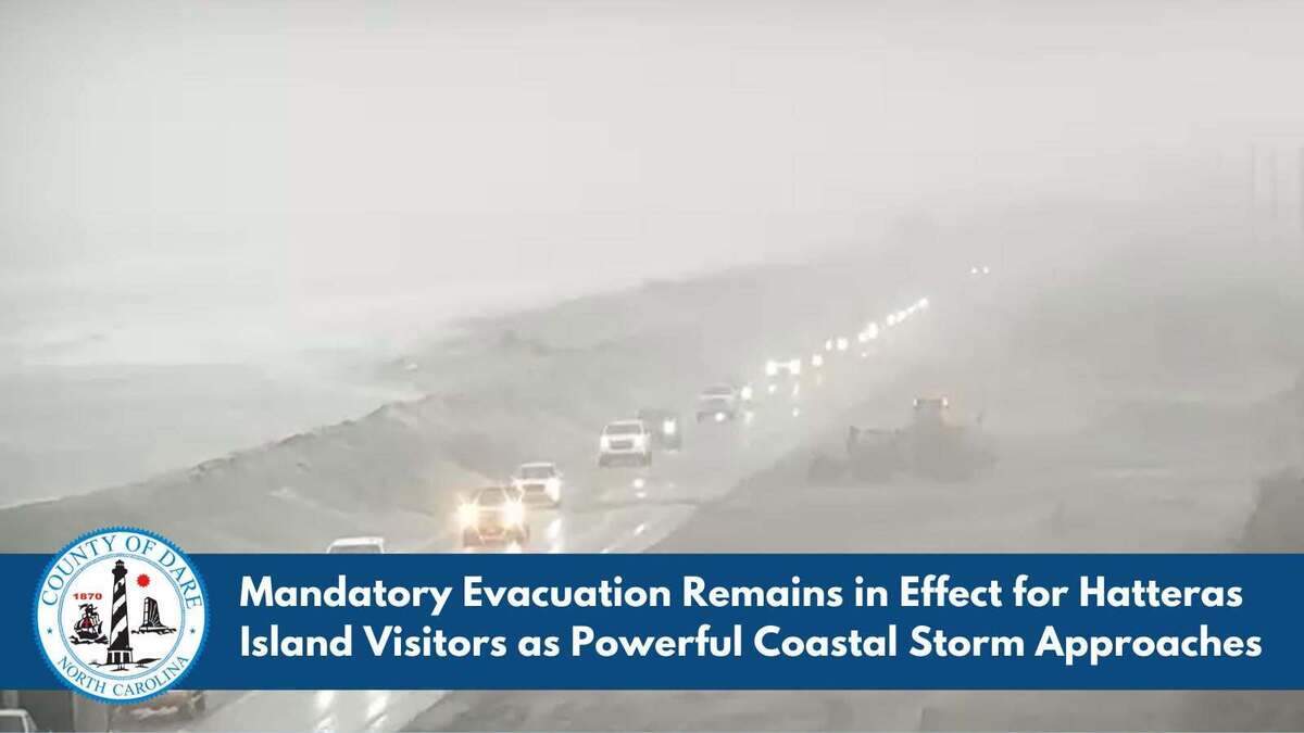
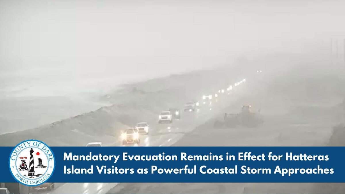
“Visitors who have not yet evacuated Hatteras Island must leave immediately,” Dare County officials said on social media at noon Saturday. “The window to safely depart is rapidly closing as a powerful, long-duration coastal storm approaches the Outer Banks.
Dare County government
A mandatory evacuation order has been issued for nonresidents of Hatteras Island on North Carolina’s Outer Banks, Dare County officials say.
The island is under a state of emergency due to fears a nor’easter will cause prolonged flooding, according to an Oct. 16 news release. The evacuation order went into effect at 8 p.m. Friday and applies to Rodanthe, Waves, Salvo, Avon, Buxton, Frisco and Hatteras Village, officials said.
“Visitors who have not yet evacuated Hatteras Island must leave immediately,” Dare County officials said on social media at noon Saturday. “The window to safely depart is rapidly closing as a powerful, long-duration coastal storm approaches the Outer Banks.”
Visitors who defy the order risk being stranded for days in “life-threatening” conditions, forecasters say.
“An updated National Weather Service forecast indicates an increased threat from a developing coastal nor’easter. County officials anticipate that prolonged coastal flooding and repeated ocean overwash will likely close N.C. Highway 12 on Hatteras Island for an extended period, cutting off roadway access to and from the island,” county officials said.
“All Hatteras Island visitors should leave before conditions deteriorate and roadway access is compromised. Conditions will begin to deteriorate as winds and seas build throughout the day Saturday, October 17, and into Sunday morning, October 18. The greatest potential for ocean overwash will occur around each high tide, beginning Saturday, October 17, at approximately 1 p.m.”
Multiple advisories and warnings have been issued for Hatteras and Ocracoke islands.
“Large breaking waves” could top 14 feet, causing 2 to 4 feet of coastal flooding, forecasters say.
“Flooding will extend inland from the waterfront threatening some homes and businesses. Numerous road closures and flooding of vehicles will be possible,” the NWS said early Saturday.
The flooding could last into next week, experts say.
“The most significant coastal flooding and overwash are expected Sunday and Monday, with hazardous conditions potentially continuing into next week,” Dare County officials said in Saturday’s update.
Winds could knock down trees and cause outages, National Weather Service meteorologists in the Newport/Morehead City office said in a 7:30 a.m. update on social media Saturday. Gusts of 45 to 55 mph are expected along the Outer Banks and the immediate coast, forecasters said.
Wind advisories will be in effect across Carteret, Dare, and Hyde counties starting Saturday afternoon, according to the NWS.
Saturday ferry service is being canceled beyond these last trips of the day, according to the N.C. Ferry Division:
• Ocracoke to Cedar Island, 10:30 a.m.
• Cedar Island to Ocracoke, 10:30 a.m.
• Swan Quarter to Ocracoke, 10 a.m.
Currituck/Knotts Island ferry service is suspended.
The storm “will be unusually pesky and persistent, meandering off the East Coast for several days,” AccuWeather chief meteorologist Jonathan Porter said Saturday.
That will cause “gusty winds, coastal flooding and beach erosion over perhaps a dozen high tide cycles in some areas,” Porter said. “This will only amplify impacts, especially in places where serious coastal flooding and beach erosion occurred from the nor’easter in late September.”
This story was originally published October 17, 2026 at 5:26 AM.
The Charlotte Observer
Mark Price is a state reporter for The Charlotte Observer and McClatchy News outlets in North Carolina. He joined the network of newspapers in 1991 at The Charlotte Observer, covering beats including schools, crime, immigration, LGBTQ issues, homelessness and nonprofits. He graduated from the University of Memphis with majors in journalism and art history, and a minor in geology.