

Listen to this article
Estimated 2 minutes
The audio version of this article is generated by AI-based technology. Mispronunciations can occur. We are working with our partners to continually review and improve the results.
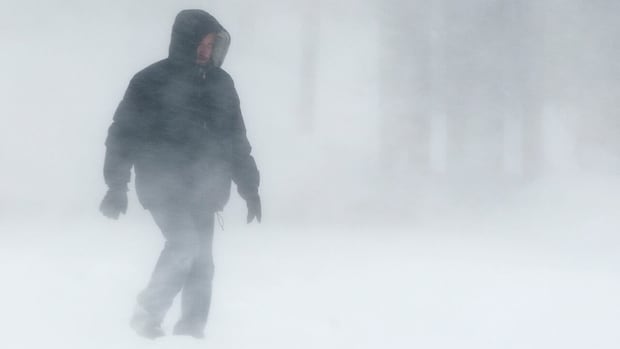
A “significant fall storm” is headed to northern Manitoba, bringing rain that will transition into heavy, wet snow with as much as 15 to 25 centimetres expected, says Environment Canada.
The storm system is expected to arrive Friday evening and persist through the weekend and covers a vast area, from Brochet to Churchill and including Tadoule Lake, Lynn Lake, Leaf Rapid and Pukatawagan according to a special weather statement.
The forecast calls for rainfall totals in the range of 20 to 40 millimetres before the shift into snow. During that transition phase, the precipitation will briefly become freezing rain.
The highest snowfall accumulations are expected over Brochet and Tadoule Lake.
Strong winds are also likely, with gusts up to 90 km/h, creating reduced visibility in blowing snow.
The conditions will improve on Sunday as the snow tapers off and winds diminish, the weather alert states.
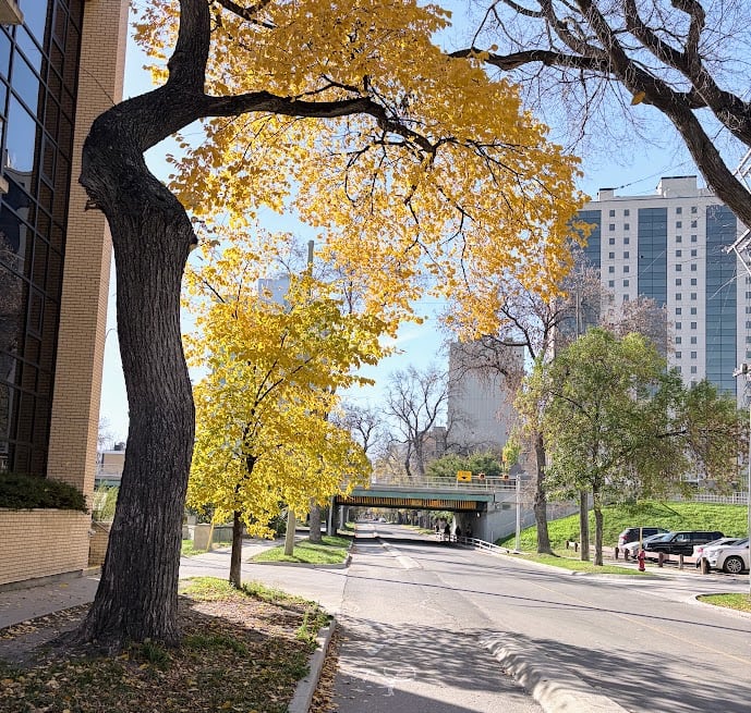
Winnipeg’s forecast calls for a high of 22 C on Friday with a humidex that will make it feel more like 25. (Darren Bernhardt/CBC)
Meanwhile, Manitobans living in the southern part of the province are in for a short blast of summer to end the week.
Highs of 20 C are expected Thursday and then 22 C on Friday. In Winnipeg, the humidex on Friday will make it feel more like 25.
But the warmth comes with winds gusting between 40-60 km/h on Friday afternoon.
The normal high for this time of year is 7 C. Temperatures closer to that, and even lower, are expected next week.