
The strongest cold front so far this year has swept across south-east Australia during the last 24 hours, generating gale-force winds and snow to low levels.
The air mass behind the front originated near the Antarctic coastline about 72 hours ago, leading to snowfalls overnight well below 1,000 metres elevation.
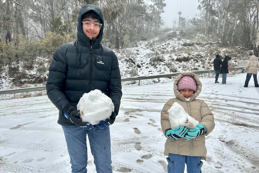
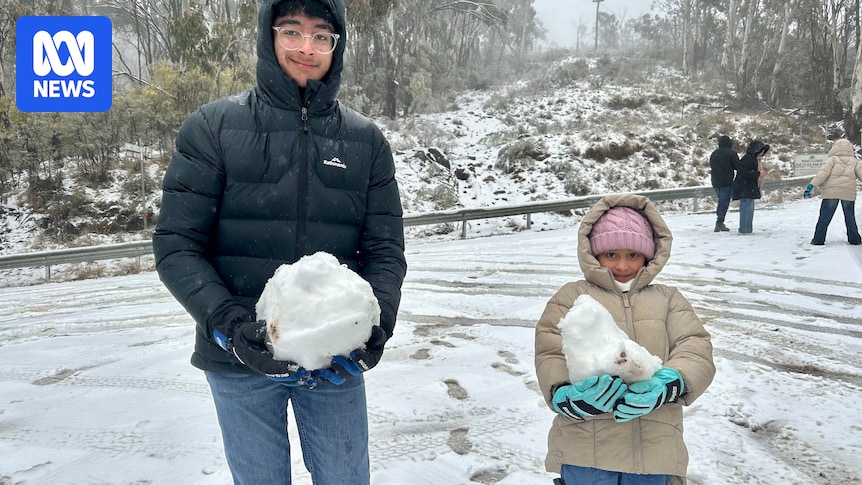
Five to 10 centimetres of snow fell on Mt Canobolas near Orange, creating a winter playground. (ABC Central West)
This has resulted in a dusting of snow across dozens of towns along the NSW ranges, from the Monaro in the south to the Central Ranges west of Sydney.
Loading…
Snow began to fall on the Blue Mountains, west of Sydney, in the early hours of the morning.
A light dusting covered rooftops and branches at Mount Victoria, 1,043m above sea level.
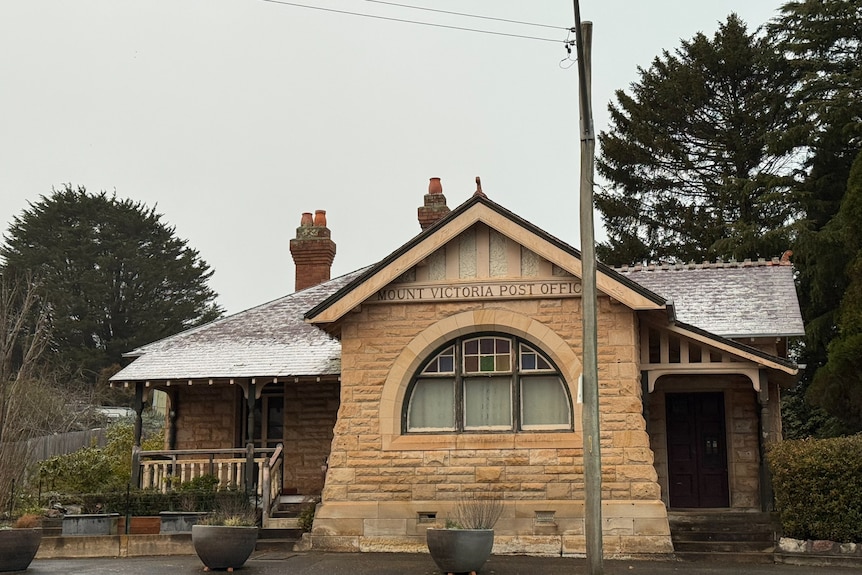
Mount Victoria Post Office in the NSW Blue Mountains with a light dusting of snow. (ABC News: Alex Lewis)
Flakes drifted through the windy streets of Blackheath, 1,066m above sea level, as the Sun rose.
At 6am, the temperature at the Mount Boyce weather station nearby was minus 0.1 degrees Celsius, but the apparent temperature — factoring in wind chill and humidity — was minus 9.3C.
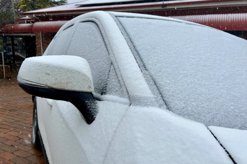
Residents in Orange woke to find their cars covered in snow. (ABC Central West)
Residents across the central west, including Oberon and Crookwell, woke to a blanket of white, with Orange experiencing its most significant snowfall in four years.
Roads have been impacted by several centimetres of snowfall, including those up Mt Canobolas, which have been closed.
In the Victorian ski fields, Mt Hotham recorded 128km/h wind gusts on Friday afternoon, while wind gusts of 124km/h were recorded at Mt Buller.
Dinner Plain in Victoria recorded more than 40cm of snow overnight. (ABC News: Sarah Krieg)
ABC Goulburn Murray’s Sarah Krieg in Dinner Plain in the Alpine National Park recorded more than 40cm of snow out her window this morning.
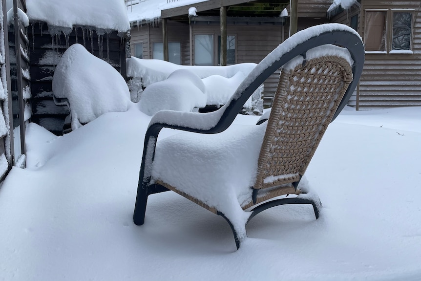
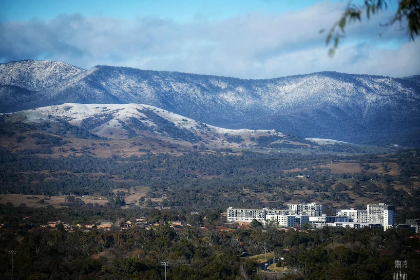
The alpine region, including the higher parts of the ACT, have also been blanketed in snow, including well over half a metre of fresh falls across Thredbo and Perisher since the storm commenced on Wednesday.
Snow on the Brindabella Range down low near the city centre of Tuggeranong in the ACT. (Supplied: Andrew Buesnel)
Where is it snowing?
The Bureau of Meteorology is reporting 30-40 centimetres over the alpine area across:
The ACTNew South WalesTasmania Victoria
There was snowfall across the Central Tablelands, Snowy Monaro and the upper Blue Mountains in New South Wales.
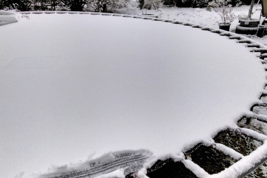
Waratah, north-west Tasmania is just 609 metres above sea level, but there was no bouncing on the trampoline this morning. (Supplied: Judith Summers)
In Tasmania, snow fell as low as 600m above sea level.
It has stopped snowing in lower areas, according to BOM senior meteorologist Sarah Scully.
However, she said there still could be snow flurries across NSW, Victoria and Tasmania.
Areas of Namadgi National Park in the ACT are still cloaked in white.
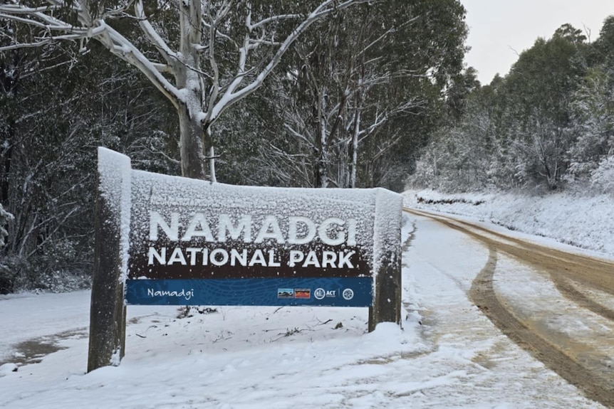
Snow blanketed areas of Namadgi National Park near Canberra. (Supplied: Nushan Perera)
Skies clearing upMajor winter storm to deliver snow near five capitals
It is expected skies will clear up on Saturday afternoon as the polar air moves into the Tasman Sea.
Damaging wind gusts also remain a threat on Saturday for parts of eastern NSW, before winds ease in the evening.
By Sunday, the last day of winter, a frosty morning will make way for a drier and calmer day with temperatures climbing back to near average.