

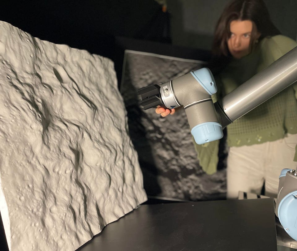
A robotic arm observes a 3D-printed lunar landscape in Adelaide’s Australian Institute for Machine Learning (AIML) lab.
Sofia McLeod
AI researchers in the South Australian city of Adelaide are hoping to use their own proprietary space technology to revolutionize how spacecraft survey the lunar surface.
Although the first step is to use their AI innovations for lunar surveys, in truth, the technology could be used to survey any planetary surface. That is, if there’s existing data from previously mapped catalogs to use as a point of reference.
In a paper accepted for publication in the journal Astrodynamics, the authors introduce STELLA (Spacecraft crater-based localization for lunar mapping), a novel AI-powered Crater-Based Navigation pipeline specifically tailored for long-duration lunar mapping missions.
In space, we don’t have GPS, so a spacecraft needs its own way to determine where it is, Sofia McLeod, an Australian postdoctoral researcher at Adelaide University’s AI for Space Group and the Andy Thomas Centre for Space Resources, tells me via email. There are various positioning methods, such as radio-ranging, but these can have errors of several kilometers, she says.
In contrast, crater-based navigation (CBN) is a vision-based navigation technique that uses images of the Moon’s cratered surface to determine a spacecraft’s position.
And as McLeod and colleagues demonstrate in their paper, STELLA has shown it can achieve much higher accuracy than traditional lunar surveying methods.
How Does It Work?
A camera onboard the spacecraft takes an image of the Moon’s surface; CBN detects craters in that image, matches them to known craters from a pre-existing crater catalog and from these matches determines the spacecraft’s position, says McLeod. This process is purely about position estimation; CBN isn’t creating a new map; it’s just figuring out where the spacecraft is, using craters as landmarks, she says.
Fundamental Catalogs
These catalogs are fundamental to crater-based navigation, where, from an image captured of the lunar surface by a spacecraft’s camera, a crater-based navigation system will automatically detect craters in the image and then match them to those in a crater catalog.
The Need For Visible Craters
If a region lacks craters or is fully shadowed, the system cannot produce a position estimate from that image alone, says McLeod. But STELLA can operate over all regions of the Moon (including the poles and large craters), she says. In an orbital scenario, STELLA can use position estimates made using images captured before and after entering the shadowed region to infer the spacecraft’s orbital trajectory, says McLeod.
This means the spacecraft can still estimate surface positions while passing over permanently shadowed regions, such as those at the Moon’s south pole.
Our paper presents the first complete study of a vision-based spacecraft navigation system designed for long-term lunar orbital missions, says McLeod.
Built-In Autonomy
CBN is autonomous once it obtains its first “good” image of the lunar surface; meaning an image containing enough clearly identifiable craters, says McLeod. It looks at the entire surface pattern of craters visible in the image, she says.
Vision-Based Navigation Systems
Such systems use onboard cameras to “see” the spacecraft’s surroundings and determine its location from visual cues.
It’s much like how humans use sight to understand where they are, says McLeod. Our AI-powered vision-based navigation system reduces this to meter-level accuracy, she says.
That’s because once a team knows the precise location of a spacecraft, coupled with which direction it is facing, they can then determine the locations of anything its sensors detect.
How important is AI in enabling this technology?
AI is the reason crater-based navigation can now be adapted to the challenging conditions of long-term lunar orbital missions, says McLeod. It enables the system to recognize craters whether the surface is brightly or dimly lit, whether the camera views the surface from directly above or at an oblique angle, and whether the terrain is rugged or smooth, she says.
STELLA is being developed to meet the positioning needs for the upcoming Japanese TSUKIMI (Lunar Terahertz Surveyor for Kilometer-scale Mapping) mission.
Scheduled for a 2028 launch, TSUKIMI’s main goal is to survey the Moon from lunar orbit looking for resources like water. And the crater-based positioning algorithm developed by Adelaide University will be key in determining exactly where these resources lie.
The Bottom Line?
Our AI pipeline enables meter-level autonomous localization, far exceeding traditional radio ranging systems, says McLeod. For lunar science, this means accurate maps of key resources, and for lunar operations, it means we can precisely plan where to place infrastructure or habitats, she says.
ForbesThe NASA Orbiter That Turned Lunar Science On Its HeadBy Bruce Dorminey