
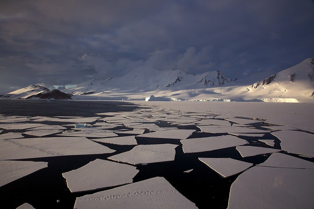
Thinning sea ice around Antarctica. Credit: Jason Auch / CC BY 2.0
A new map is offering the most detailed look yet at the terrain hidden beneath Antarctica’s thick ice sheet, giving scientists a clearer understanding of the continent’s geology and how it might change in the future. Using satellite data and physical models of ice flow, researchers have pieced together a high-resolution image of the landscape beneath Antarctica’s ice.
The effort revealed a complex terrain filled with thousands of previously unknown hills, ridges and deep valleys that shape how glaciers move across the continent.
The findings, published in Science, represent a major improvement over earlier methods, which relied on radar surveys taken from aircraft or the ground.
These older surveys often followed paths spaced dozens of miles apart, leaving large gaps that scientists had to estimate. In contrast, the new map uses a combination of surface data and ice movement patterns to fill in those blanks with greater accuracy.
Sharper view of Antarctica’s hidden terrain
Helen Ockenden, the study’s lead author and a researcher at the University of Grenoble-Alpes, said the map feels like moving from a grainy photo to a crisp digital image. For her, seeing the full picture of the Antarctic bedrock for the first time was both exciting and revealing.
The researchers found one striking feature in the Maud Subglacial Basin — a deep channel measuring about 400 kilometers (250 miles) in length, 6 kilometers (3.7 miles) wide, and averaging 50 meters (164 feet) deep. This channel had gone undetected until now due to the limitations of earlier survey methods.
A new map has unmasked the landscape beneath Antarctica’s ice in unprecedented detail pic.twitter.com/OdIZ7U08vj
— ESA’s CryoSat mission (@esa_cryosat) January 16, 2026
Robert Bingham, a glaciologist at the University of Edinburgh and co-author of the study, compared earlier data collection efforts to flying over the Alps with only occasional snapshots. He said such sparse coverage makes it impossible to fully capture a landscape, but the new approach changes that.
Understanding the landscape beneath Antarctica’s ice
By observing how ice flows and adjusting their models accordingly, the researchers were able to detect how ridges and hills in the bedrock affect the ice above. Ockenden explained the process using the example of kayaking: while rocks beneath a river can’t be seen directly, their presence often creates ripples or eddies on the surface.
Though the map relies on assumptions about ice behavior and still includes some uncertainties, it marks a significant step forward. Peter Fretwell, a senior scientist at the British Antarctic Survey who was not involved in the study, called it a valuable tool that bridges gaps between past surveys.
Experts believe a more complete view of the landscape beneath Antarctica’s ice will help refine models predicting how the continent may respond to a warming climate and how that could affect global sea levels.