
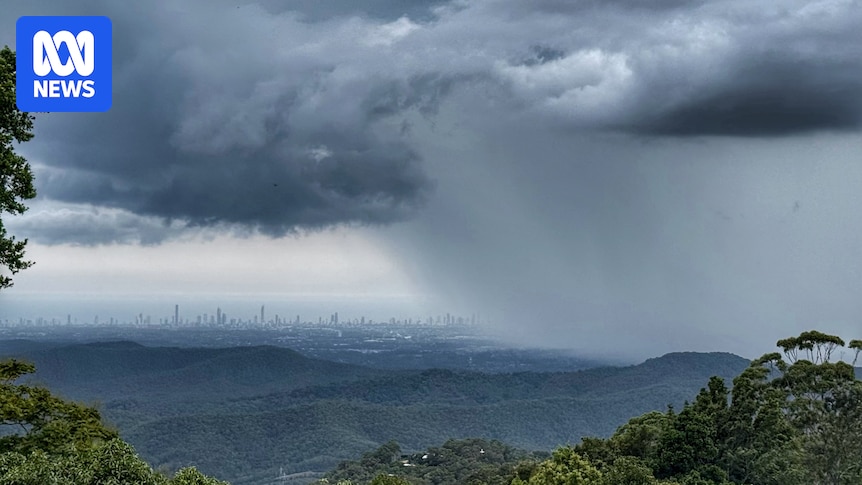
The drenching rains forecast for south-east Queensland have begun soaking the Gold Coast with more than 100 millimetres falling on parts of the state’s glitter strip.
Brisbane and the Sunshine Coast are being warned the heavy, intense falls forecast for this morning may now not strike until at least lunchtime.

A lightning storm passes over Lang Park in Brisbane during the Royal Edinburgh Military Tattoo on Thursday night. (Supplied: Lewis Napa)
A Bureau of Meteorology (BOM) severe weather warning is predicting heavy rainfall that could lead to flash flooding developing through the morning.
“Six-hourly rainfall totals between 50mm to 90mm are likely with isolated higher falls to around 150mm possible,” it said in its latest warning.
The heaviest falls on Friday have been on the Gold Coast with Burleigh and Tallebudgera Creek both notching up more than 120mm since 9am Thursday.
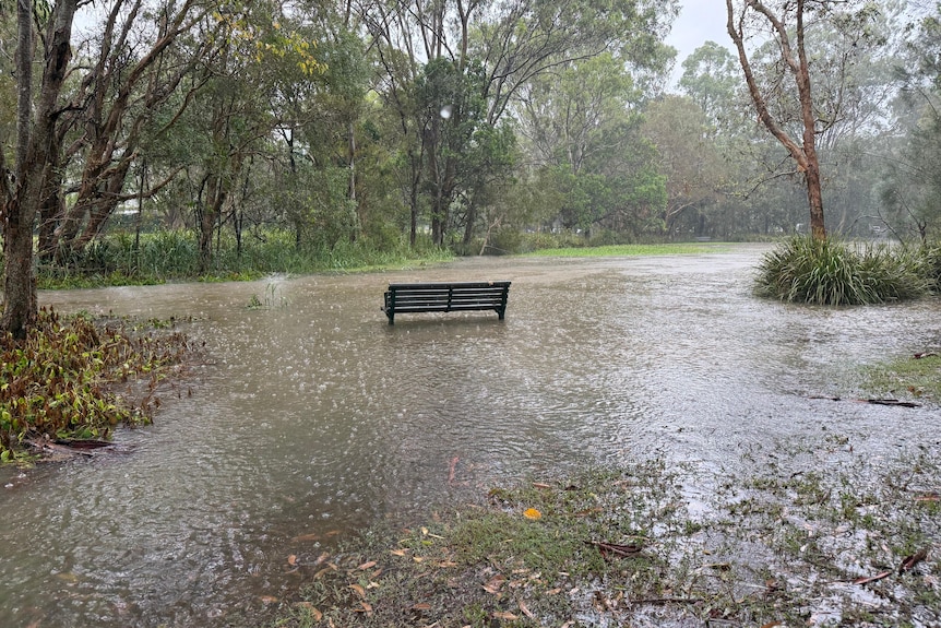
Flash flooding has occurred at Littleford Park in Currumbin. (ABC Gold Coast: Danielle Mahe)
Forecaster Christie Johnson said flash flooding was an “immediate concern” for the Gold Coast, but there could also be risks of riverine flooding across the city on Friday.
“The catchments are dryish actually, so initially it might take a little bit of rain to get them saturated.
“But there’s definitely a risk of flooding, whether it be flash flooding or riverine flooding today.”
Just south of the border, the Northern Rivers has had 103mm in just a few hours to 4:30am AEST.
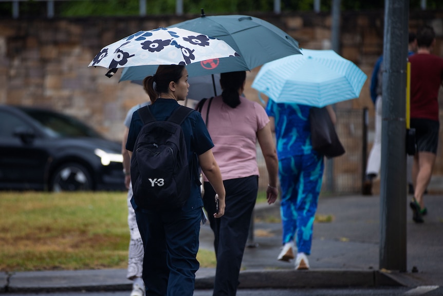
People with umbrellas in Brisbane brave the dreary weather on Thursday. (ABC News: Luke Bowden)
Senior forecaster Liam Smart said that the same weather would start saturating Brisbane later today.
“It is going to be coming probably around lunchtime,” Mr Smart said.
“We’re probably expecting still maybe in the 100mm mark in isolated areas, possibly more around the 80mm mark.
“It’s still got that severe weather warning out there.”
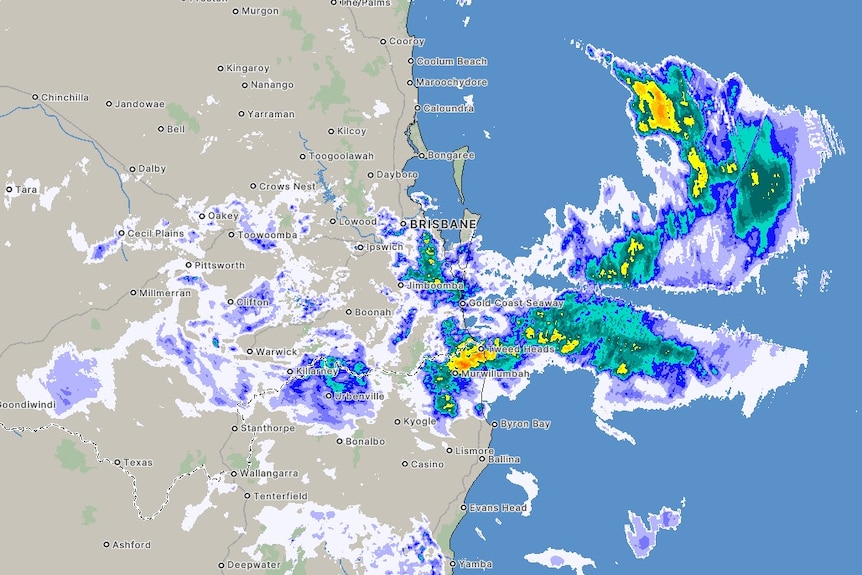
Heavy rains that drenched northern New South Wales with more than 100mm before 5am are now heading for south-east Queensland. (ABC News: Bureau of Meteorology)
The Sunshine Coast can now expect its heaviest rains towards closer to 5pm.
“This afternoon it should push into the Sunshine Coast area as that trough deepens with some heavy falls possible, potentially even up to the 100 mm mark on the coastline up there,” Mr Smart said.
The severe weather warning in place this morning stretches from just north of Noosa to Coolangatta on the Gold Coast.
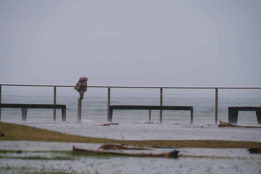
Some of the heaviest falls have been at Burleigh on the Gold Coast. (ABC News: Dominic Cansdale)
Flood watch in place
The BOM is also warning of “a risk of isolated major flooding”.
“Heavy to locally intense rainfall may cause significant flash flooding, including over densely populated areas within the flood watch,” the warning reads.
The waterways being monitored include:
Dawson and Don RiversGold Coast Rivers and CreeksWeir RiverMoonie RiverCondamine RiversBalonne RiverWallam and Mungallala CreeksBurnett RiverMary RiverNoosa RiverPine and Caboolture RiversSunshine Coast Rivers and CreeksUpper Brisbane RiverLogan and Albert RiversLower Brisbane River (Bremer River, and Warrill, Lockyer, Laidley, Ipswich and Brisbane creeks only)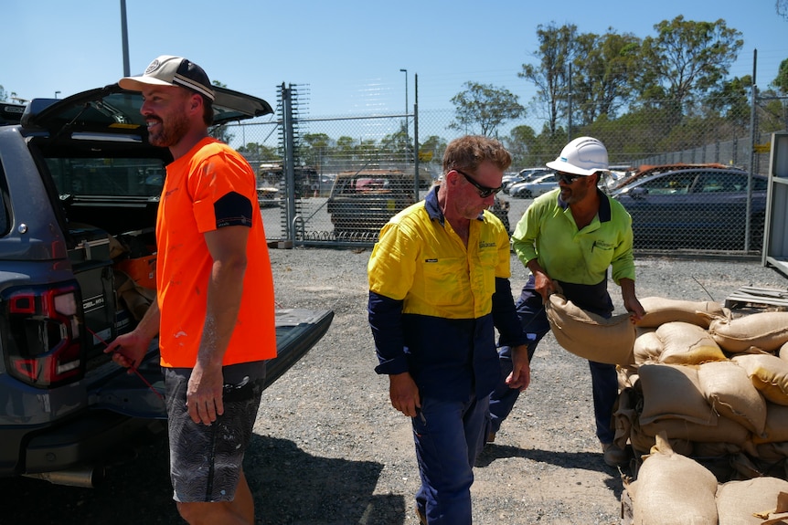
Sandbag stations opened on the Gold Coast yesterday. (ABC News: Glenn Mullane )
Wet weekend forecast
The wet weather will continue into the weekend, but rainfall intensity in the south-east of the state should ease.
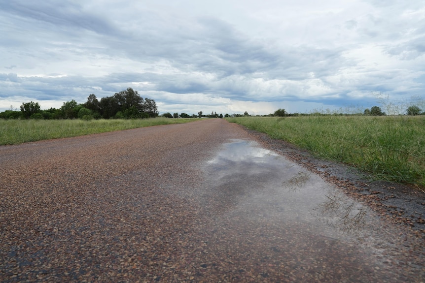
Longreach received a little rain on Thursday. (ABC Western Qld: Hannah Walsh)
Across the board, Ms Bradbury said it is not a weekend for “getting out and about”.
“It’s wet and soggy across the south-east,” she said.
“Plenty of moisture lingering in the atmosphere across northern and western parts of Queensland … we are likely to see showers and thunderstorms continue through the coming days.”
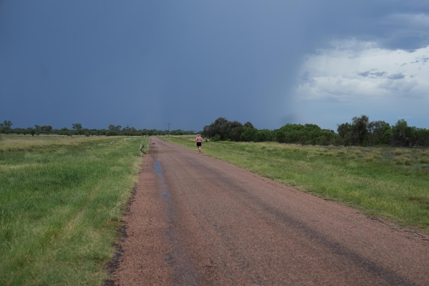
Storm clouds in western Queensland. (ABC Western Qld: Hannah Walsh)
Those showers are likely to be scattered, but there is a risk of severe storms across central parts of Queensland.
The BOM is also monitoring a tropical low in the Coral Sea east of Townsville.
“It is expected to continue to build over the next two days, but at this stage it has only a low chance of strengthening to a tropical cyclone,” Ms Bradbury said.
“We’re not really expecting too many direct impacts … but we will have to wait and see how this system develops over the weekend.”
The system is expected to remain well offshore before moving eastwards and away from Queensland early next week.