
Heavy rain across large parts of the Barkly and Central Australia over the past three days has closed roads and inundated cattle stations, with more wet weather forecast to be on the way.
A tropical low has been circling in recent days in the Simpson and parts of the Barkly and Tanmi areas, bringing heavy local rainfall and damaging winds.
The severe weather is expected to continue into tonight and into early tomorrow morning, with a storm watch and act declared today.
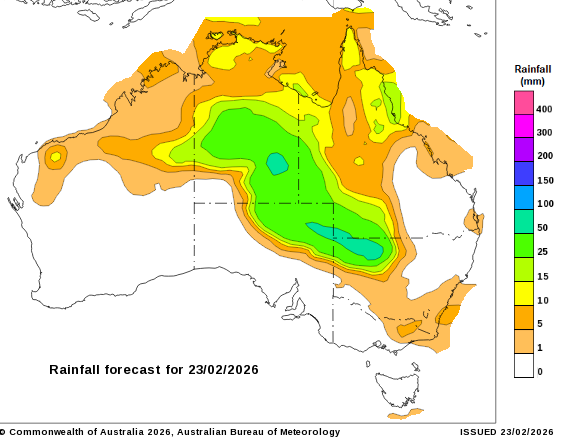
A map by the Bureau of Meterology shows expected rainfall around the country today.
The Bureau of Meteorology (BOM) has advised locally intense rainfall that could lead to dangerous and life-threatening flash flooding is possible across the southern Barkly and northern Simpson districts, as well as rainfall totals of up to 200 millimetres and damaging winds of up to 90 kilometres per hour.
It is also forecasting the chance of thunderstorms tonight across much of the NT, excluding the south-west, and severe thunderstorms in a broad area south of Daly Waters.
The BOM said it could not be certain about the position and strength of the upcoming wet weather, but urged residents to stay up-to-date with warnings.
“These conditions also threaten cattle and other livestock,” the bureau said.
Locations that could be affected include Ali Curung, Arltunga, Ti Tree, Jervois, Barrow Creek and Ampilatwatja.
Cattle stations impacted
Cattle stations across Central Australia and the Barkly have been bearing the brunt of some of the largest rainfalls over the weekend.
At Elkedra Station, 400 kilometres north of Alice Springs, the property received between 220 millimetres and 620 millimetres over 48 hours — more than double their yearly average rainfall.
Station owner Amber Driver said it was a “once in a lifetime” event, exceeding any flooding they had on their station in four generations.
Loading…
“We really don’t know the impact through the catchment … but at the house it is significant, it’s been nearly two metres through the homestead,” Ms Driver said.
“It’s been through several other building sheds, there’s been extensive damage with trees over [and] just the rate the water encroached.”
Ms Driver was in Alice Springs while the flooding happened, but said two workers on the station had been making an “incredible effort” to get everything to higher ground.
“The big, big challenge today is seeing what’s salvageable and getting some power to the building,” she said.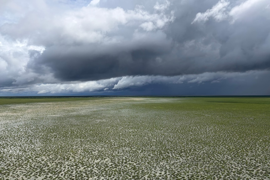
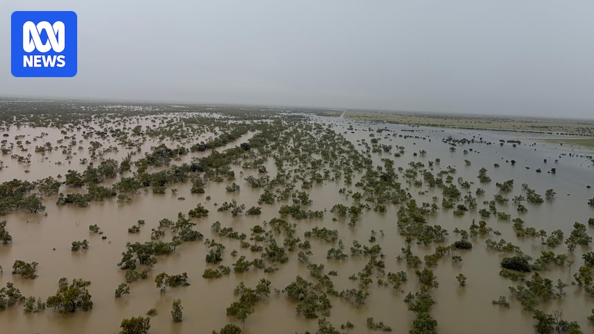
Flooding at Lake Nash Station on Sunday left only treetops visible. (Supplied: Erin Gibson)
About 400 kilometres south-east of Tennant Creek along the Northern Territory-Queensland border, Lake Nash Station received more than 550mm of rain in some gauges over the weekend, with up to 350mm falling in some areas on Friday night alone.
Station manager Erin Gibson said while the rain had come close to causing damage to the station, staff efforts to move equipment and machinery at risk had meant the station was prepared.
“We haven’t suffered too much damage anywhere,” Mr Gibson said.
“There will be a few cows in the wrong place … but if it stops at that, we’re very lucky.”
A tropical low has brought significant rainfall to central parts of the Northern Territory, including Lake Nash Station. (Supplied: Erin Gibson)
Arterial highway closed
The NT’s main arterial road between Darwin and Adelaide, the Stuart Highway, remains closed between Tennant Creek and Ali Curung, and dozens of other roads have also been closed across the NT.
Motorists are being encouraged to check the Road Report website for the latest road information.
NT Road Transport Association chief executive Louise Bilato said it was “frustrating” that the Stuart Highway, the NT’s national freight route, had been closed because of flooding.
“Essentially, the [Northern] Territory is marooned,” Ms Bilato said.
“It’s a good example of why we need governments in a bipartisan way to look at the flood mitigation on our national freight corridors seriously.”
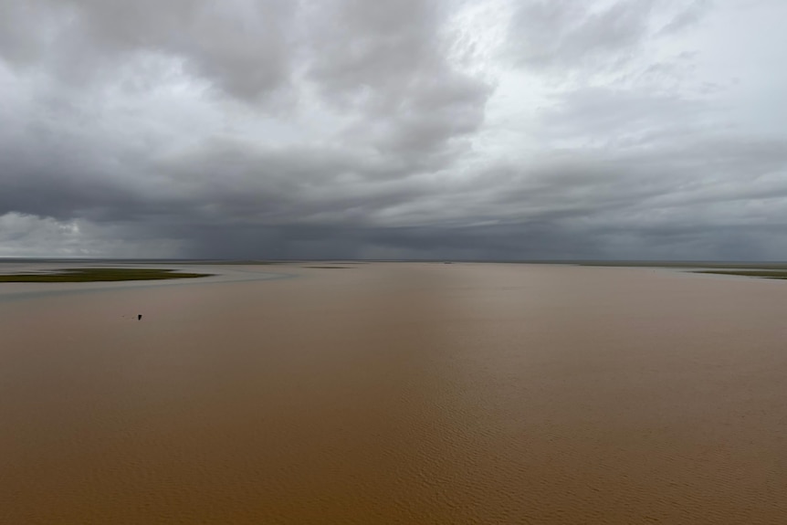
Alice Springs flooding in pictures
Ms Bilato said it was hard to predict how long freight would be impacted, due to ongoing rainfall, and how quickly the roads would return to normal after flooding.
She said while there was no livestock on the roads at the moment, plans for camels slated for live export from the bottom of the NT had been delayed.
“What’s the magic number that we [think] is okay for the roads to be closed?,” Ms Bilato said.
“We need to ask the federal and Territory governments, it is five days that it’s okay for the Stuart Highway to be closed annually, or is it 50?
“Because every Australian needs to have confidence that they can be fed, and we don’t have that confidence.”